Iceland
Laugavegur Trekking Excursion with Camping - 4 days
Réf : DOMXHN
In summary
-
Sports
-
Duration4 days
-
LevelIntermediate
-
DestinationEurope / Iceland
-
AgeFrom 16 - 90 years
-
CO₂-Emissions24.52 kg CO2
-
Type of stayIndependent traveler
In a few words
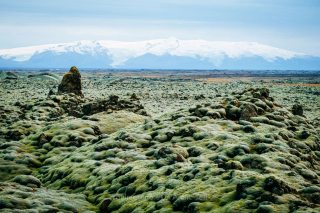
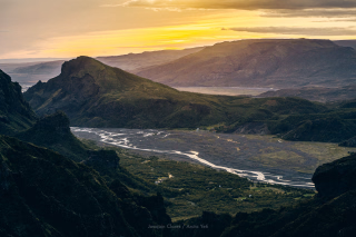
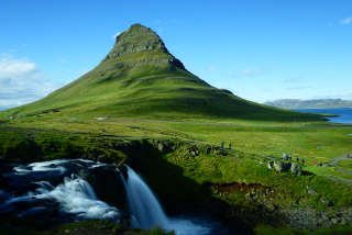
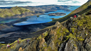
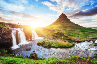
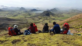
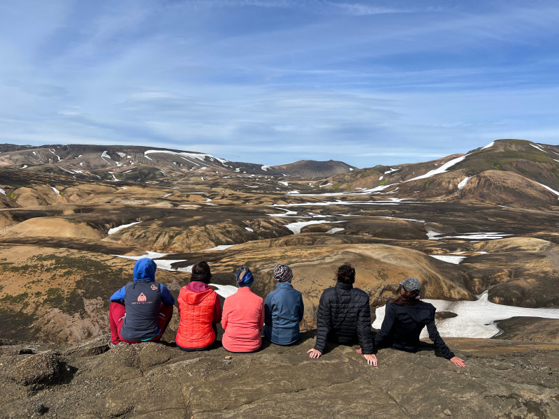
The 4-day Laugavegur Trek with camping is a suitable option for hikers who want to experience one of Iceland's most famous routes in a shorter format. This itinerary covers approximately 55 km through volcanic landscapes, rhyolite mountains, and glacial valleys, with each night spent camping.
This condensed version is based on the 5-day Laugavegur camping trek, retaining the essential stages of the route. It is designed for people in good physical condition who wish to hike independently, without worrying about logistics.
The trip includes:
- Bus transfers to and from Reykjavík
- Tourist taxes
- Maps and route information
- 24/7 assistance during the hike
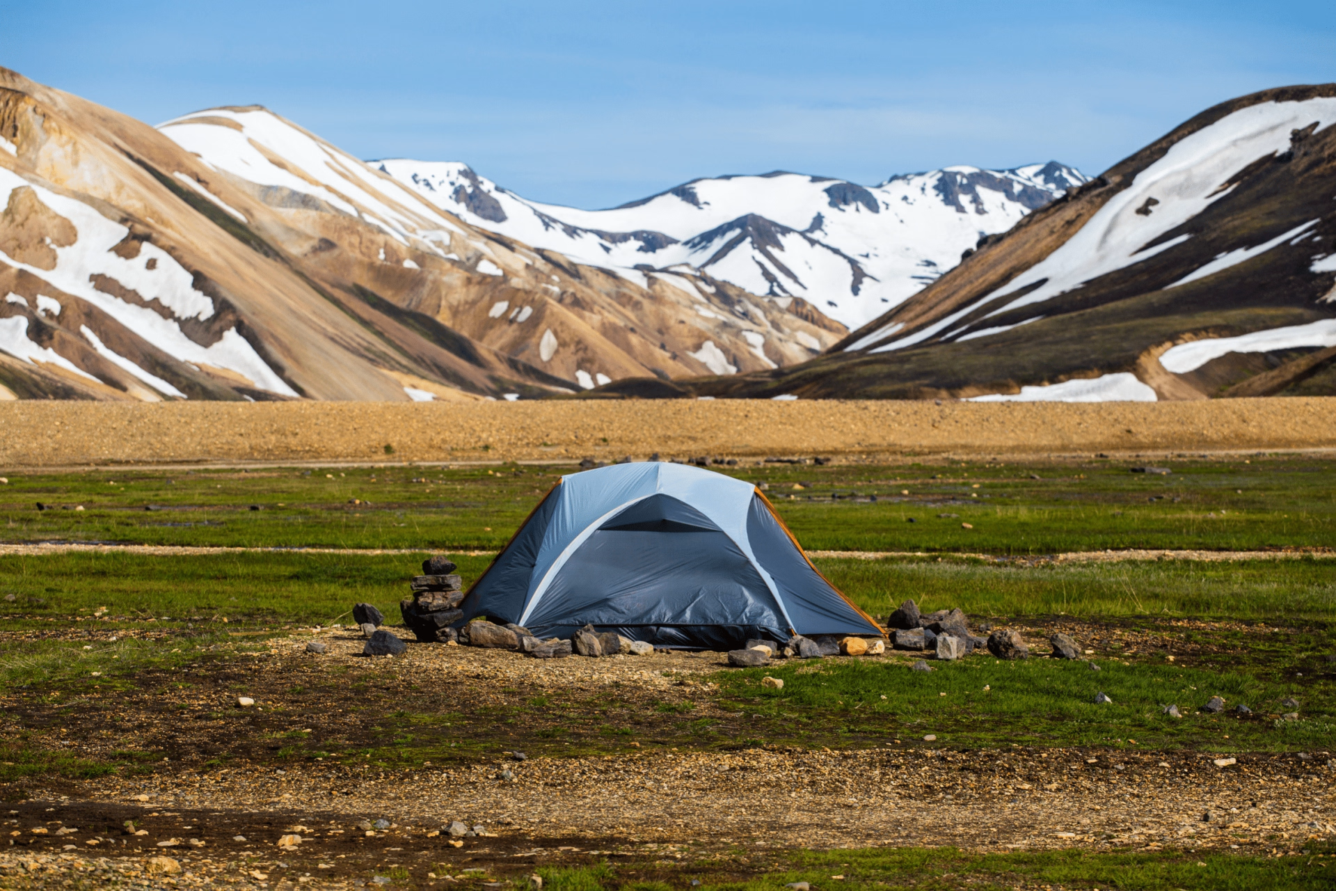
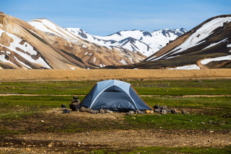
- 3 nights camping in Landmannalaugar, Álftavatn and Emstrur
To tailor the trip to your needs, several additional options are available :
- Trekking poles
- Camping equipment (tent, sleeping bag, mattress and sheet)
- Luggage transport between campsites
- Meals and cooking equipment (3 meals per day, camping stove, gas stove and saucepan)
- Airport transfers
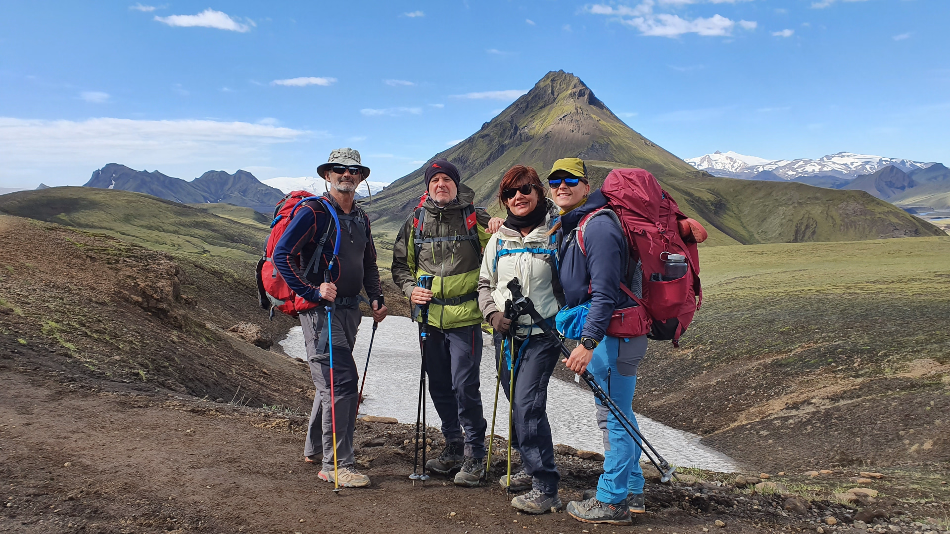
This trek is for travellers who wish to discover the Laugavegur at their own pace , with clear organisation and reliable logistical support, while retaining the autonomy inherent in hiking in the great outdoors.
The highlights
-
Guaranteed camping accommodation with private tents available, without depending on the shelters.
-
Complete organization with transfers from Reykjavík and customization options.
-
A 4-day trek, ideal for discovering the Laugavegur with limited time.
Subscriber benefit
save 5%
by joining
our community
Decathlon Travel Benefits
Best price guaranteed:
We offer twice the difference
Free cancellation more than 30 days in advance
Payment in 2 installments
Learn more
Photos
Sport
Level
Hiking / Trekking
For those wishing to hike for 4 to 5 hours a day, covering an elevation gain of around 600m on trails. You hike occasionally and are in good physical condition.
Management
The digital roadbook is your travel companion.
Digital Roadbook
Digital Roadbook
To ensure you're well-prepared, we'll send you a detailed list of all recommended equipment in advance, along with practical tips for packing your bag. And if you have any questions about the equipment or need to rent additional gear, please don't hesitate to contact us.
Program
-
Reykjavík - Landmannalaugar
- Transportation Bus - 04h - 196km
- Accommodation Camping
- Breakfast not included
- Lunch not included
- Dinner not included
Day 1 – Reykjavík → Landmannalaugar
The trek begins with a 6:30 am pick-up in Reykjavík , directly from your accommodation. The bus journey takes approximately 4 hours , gradually ascending into the Icelandic Highlands. A short break is scheduled around 8:45 am in Hella , allowing time to purchase food and drinks before venturing into the remote areas.
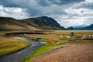
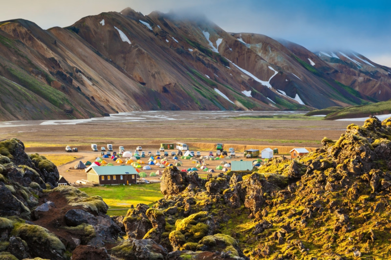
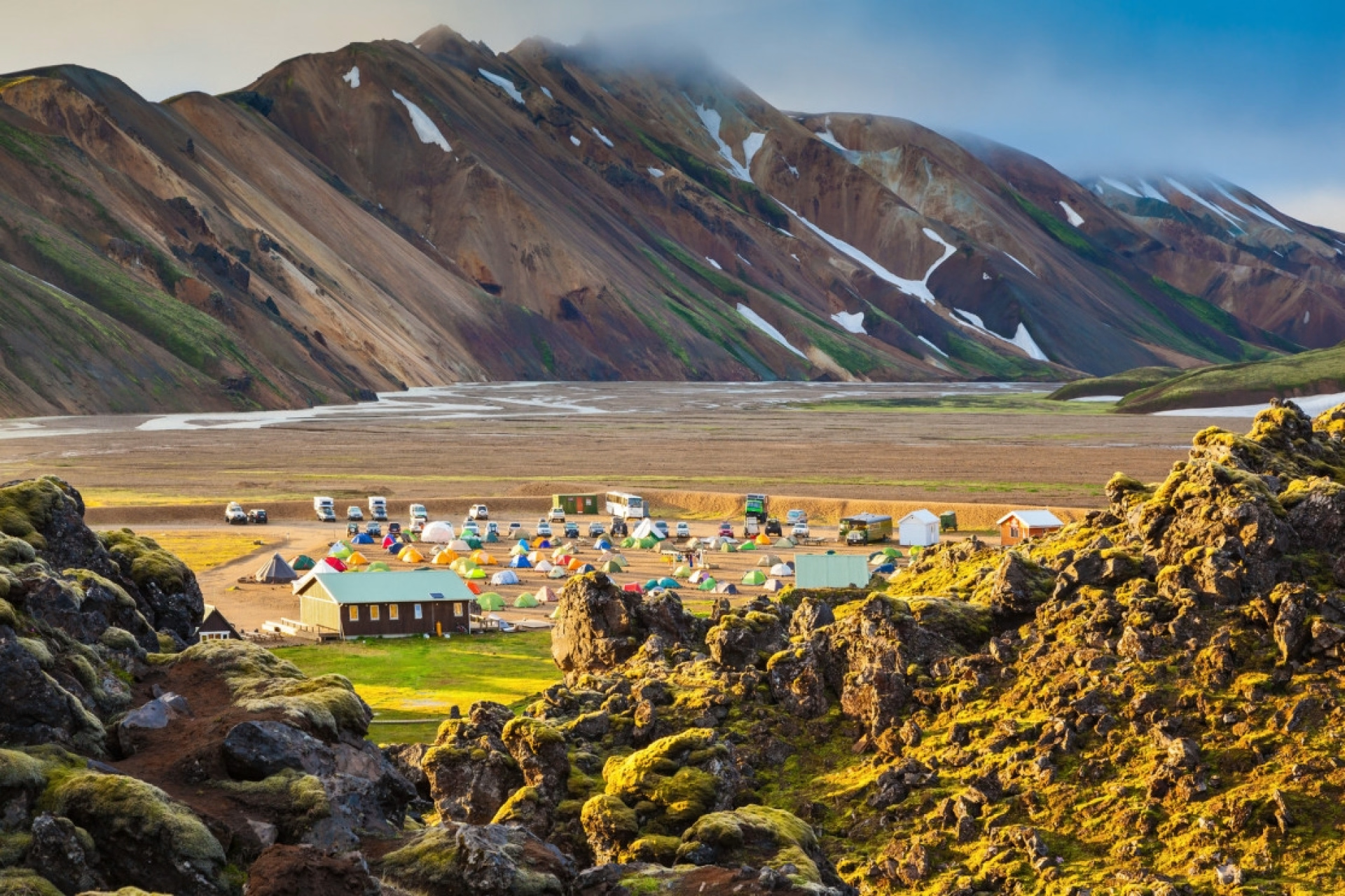
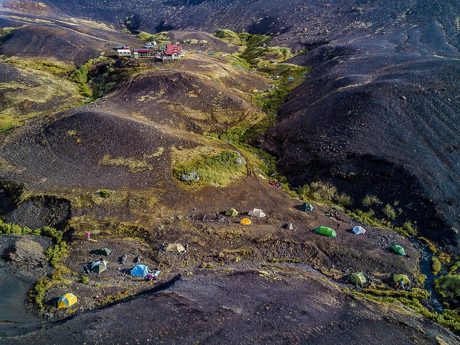
Arrival at Landmannalaugar is scheduled for around 10:00 AM . This site, located in the Fjallabak Nature Reserve, marks the starting point of the Laugavegur trek. After check-in, you will pitch your tent at the Landmannalaugar campsite , located near the refuge and equipped with toilets and showers (shower not included).
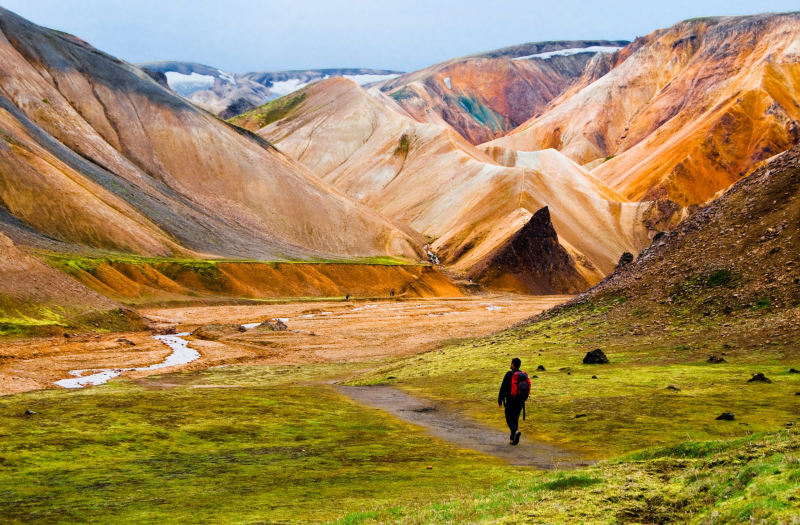
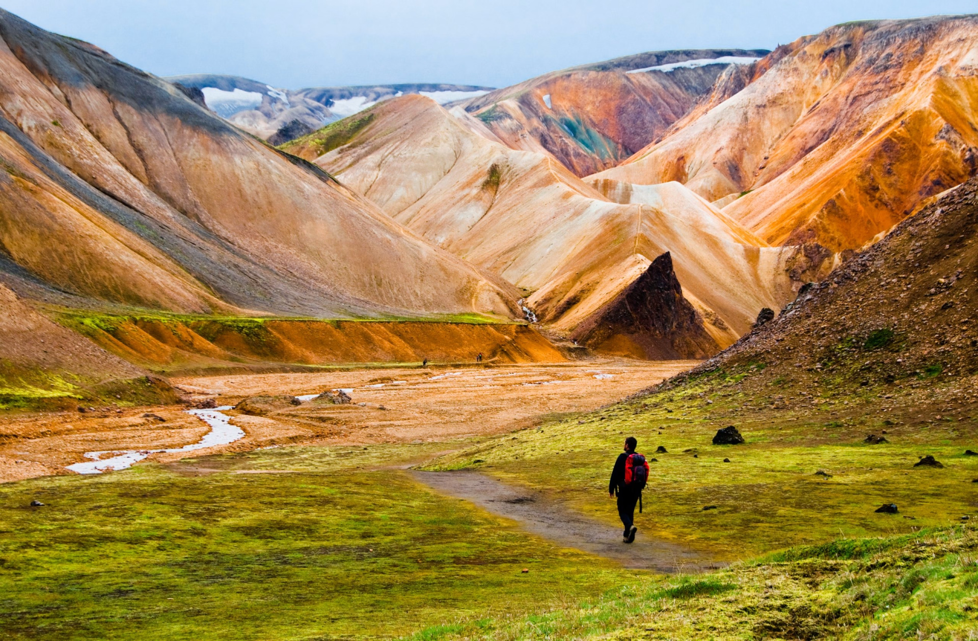
The first stage involves a hike of approximately 11 km , with an easy to moderate difficulty level, lasting 4 to 5 hours . The route crosses volcanic landscapes, rhyolite mountains, and lava fields. The elevation gain is gradual (+402 m / -380 m), ideal for starting the trek.
At the end of the day, you can enjoy the natural hot springs located near the refuge before dinner and overnight camping. No catering services are available on the trek; therefore, you will need to bring your own meals or opt for the food and cooking package (available as an additional option).
Day 1 -
Landmannalaugar → Hrafntinnusker → Alftavatn
- Accommodation Camping
- Breakfast not included
- Lunch not included
- Dinner not included
This second stage is the longest and most demanding of the trek . After breakfast and breaking camp, the hike begins from Landmannalaugar towards the Laugahraun lava field, before a gradual ascent to the Stórihver geothermal area. The route offers sweeping views of the surrounding valleys and, on a clear day, of glaciers.
The ascent continues to Hrafntinnusker , a high-altitude area marked by deposits of black obsidian. The trail passes near the Höskuldsskáli refuge, in an environment where snow and ice can be present even in summer , making the conditions more alpine.
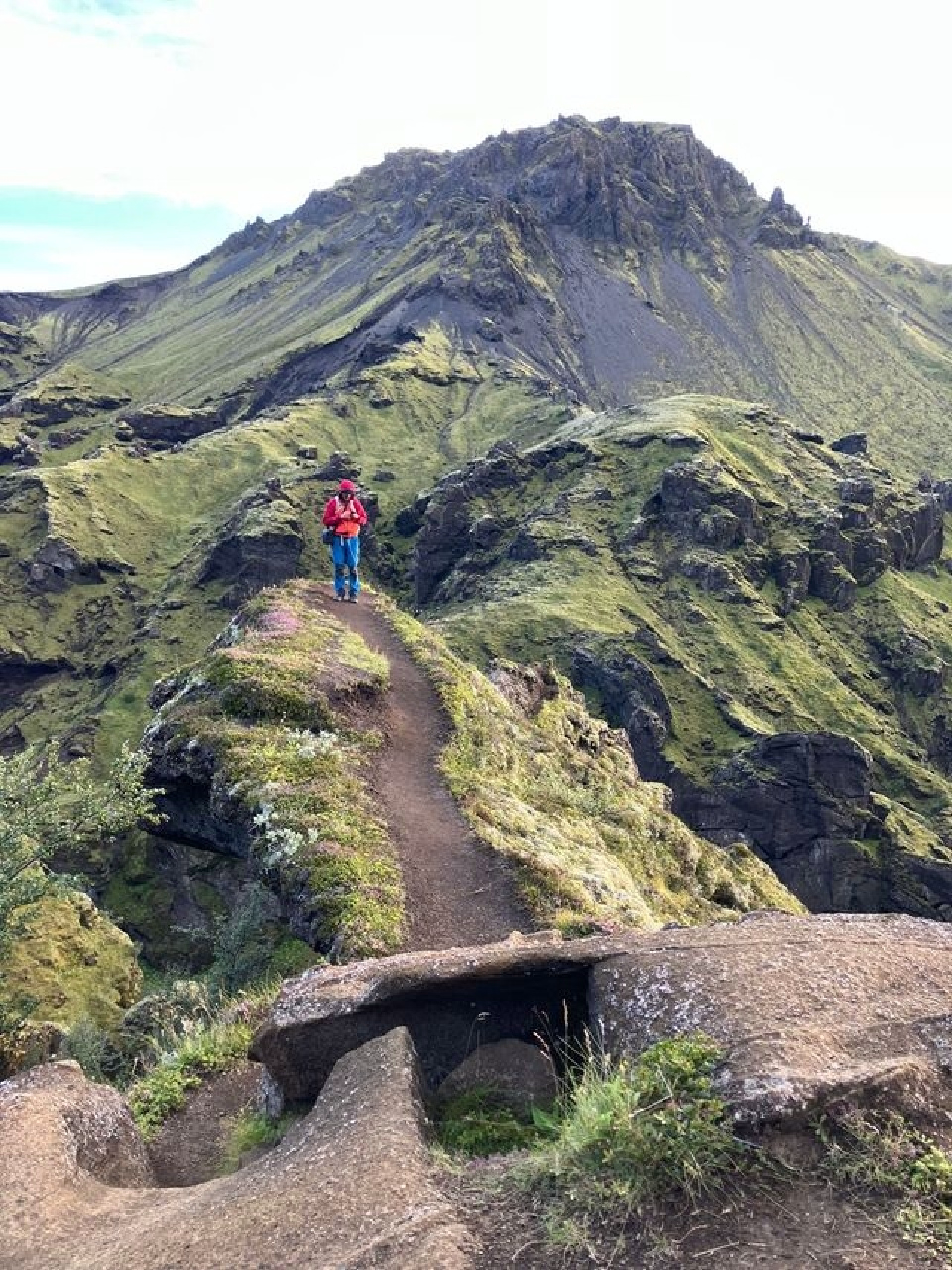
After Hrafntinnusker, the route begins a long descent towards the Jökultungur valley . The landscape gradually changes: from volcanic soils to streams, small lakes and denser vegetation, with geothermal activity visible in places.
The stage ends at Lake Álftavatn , also known as "Swan Lake," where the campsite is located. The arrival marks the end of a 24 km day, with a total elevation gain of +629 m / loss of -692 m and an estimated walking time of 8 to 9 hours . The site offers an open and peaceful setting, ideal for resting after exertion, especially at the end of the day when the light reflects off the lake.
Day 2 -
Álftavatn → Emstrur
- Accommodation Camping
- Breakfast not included
- Lunch not included
- Dinner not included
After sunrise in Álftavatn and breakfast, the hike resumes heading south. This stage is shorter and more accessible than the previous day, with a moderate level of difficulty , ideal for recovering while continuing the trek through the Icelandic Highlands.
The trail initially leads towards the Brattháls River, crossing the Kaldaklofskvísl . The landscape gradually opens up to vast volcanic expanses, offering sweeping views of the surrounding valleys and mountains. A break is recommended to observe the surroundings and take photos.
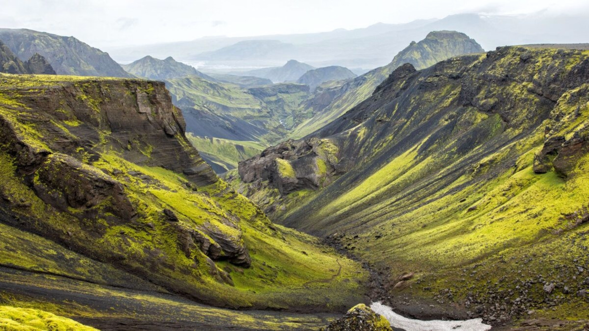
The route continues through the black sand desert of Maelifellssandur , one of the most distinctive sections of the Laugavegur. This arid area contrasts sharply with the previous stages. Along the way, Hattafell , an isolated mountain that stands out clearly against the volcanic landscape, comes into view.
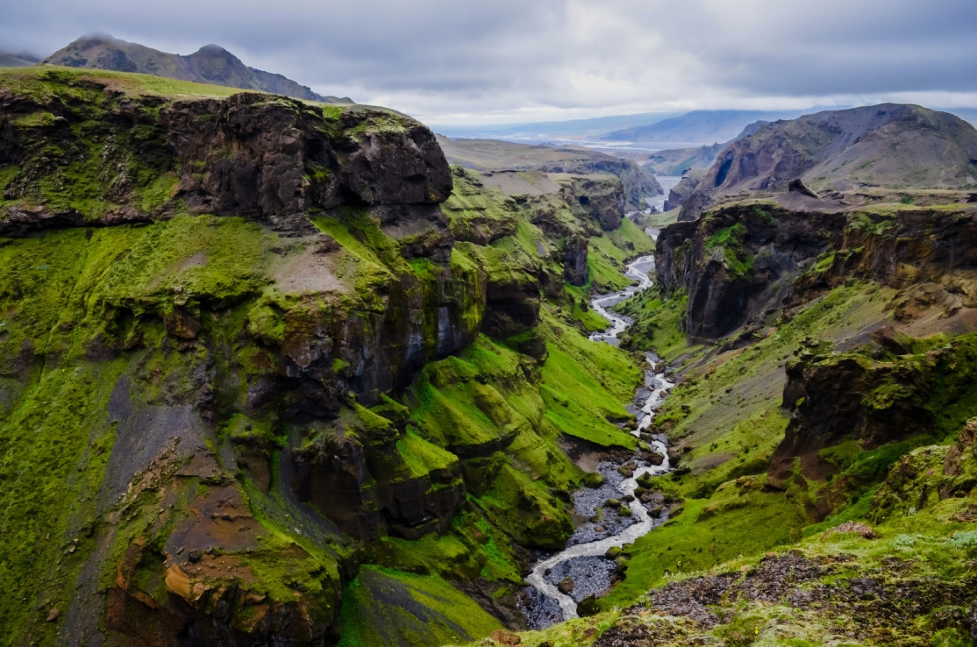
Before reaching the camp, the trail follows the Markarfljót River gorge , a deep canyon that marks the transition to the Emstrur region. The views of the valleys and geological formations are particularly clear on this section.
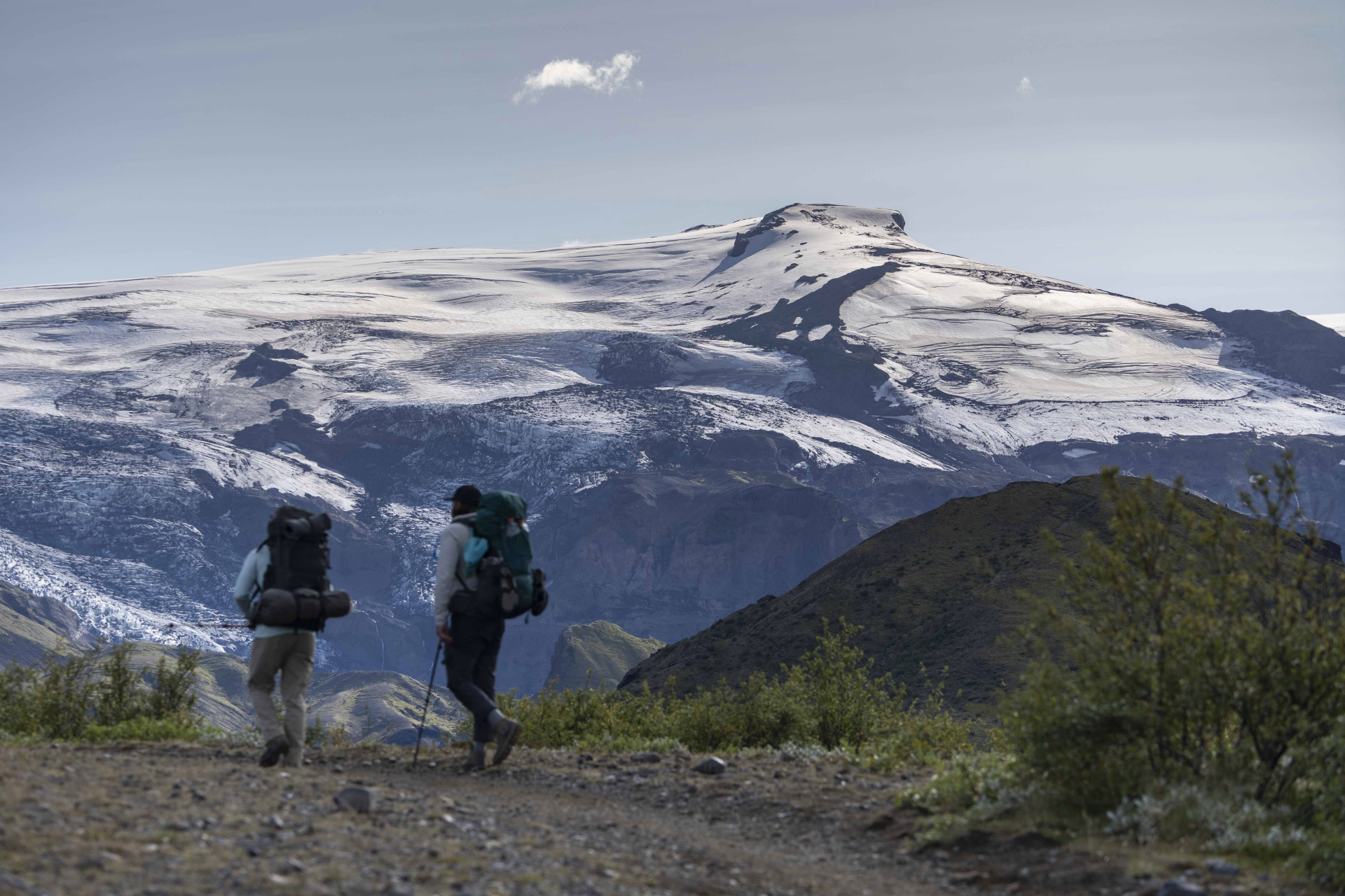
The day ends at the Emstrur campsite , located near the refuge. The site offers sweeping views of the Mýrdalsjökull and Eyjafjallajökull glaciers. After a hike of approximately 15 km (4 to 5 hours, +260 m / −258 m), the rest of the day is spent on dinner and resting in preparation for the final stage of the trek.
Day 3 -
Emstrur → Thórsmörk → Reykjavík
- Transportation Bus - 04h - 196km
- Breakfast not included
- Lunch not included
- Dinner not included
After the final breakfast and the dismantling of camp at Emstrur , the hike resumes for the last leg of the trek. The route begins with a gradual descent through tundra landscapes, with small streams and a clear transition between arid volcanic areas and increasingly dense vegetation.
One of the key sections of the day is crossing the Fremri-Emstruá river . Its flow varies depending on weather conditions and the time of year; this section therefore requires attention and caution in order to cross the waterway safely.
After the crossing, the trail continues towards the Thórsmörk valley . As you approach, the landscape changes noticeably: the vegetation becomes denser and the route crosses an alder forest, offering a shadier environment and contrasting with the open spaces of the previous days.
Arriving at Thórsmörk marks the end of the hiking portion of the trek. This valley, surrounded by mountains, glaciers, and rivers, is one of the most iconic sections of the route. The day's hike covers approximately 16 km , with an elevation gain of +214 m and a descent of -482 m , and an estimated hiking time of 6 to 7 hours .
At the end of the hike, a bus transfer is planned from the Thórsmörk camp for the return to Reykjavík , ending the Laugavegur trek in 4 days.
Day 4
Note
📍 MEETING POINT
- When booking, you must specify the meeting point or bus stop where you will be picked up on the first day of the tour.
🚫LIMITATIONS
- This trek is of medium difficulty , so it is necessary to be in good physical condition and to have prior experience of multi-day hikes.
- The minimum age to participate is 16 years old.
- It is essential to know how to pitch a tent, as you will have to do it every time you arrive at the campsite.
Accommodation
During this stay, you will sleep in several different accommodations.
Access
Departure
Reykjavik
Day 1
: 06h30
End of stay
Reykjavik
Day 4
- 20h00
The trip begins and ends in Reykjavík and includes 4x4 transfer to the start of the route at Landmannalaugar Hut. When booking, you must specify the meeting point or bus stop where you will be picked up:
Meeting points in Reykjavík
- Bus stop 01 - Ráðhúsið - City Hall
- Reykjavik Eco Campsite
Meeting points in Hella
- Bus stop - Olís gas station (Hella)
Price details
The price includes
- Transfers to/from Reykjavik
- 3 nights camping
- Route details (GPS tracks)
- 24/7 assistance during your travels
- Tourist activity rate in Iceland
The price does not include
- Camping equipment
- Meals and cooking kit
- Transporting luggage between shelters
- Airport transfers
- Trekking poles
Options
- Camping equipment : CHF80.75 / person
- Food and cooking pack : CHF166.25 / person
- Luggage transport between stages : CHF137.75 / person
- Trekking poles : CHF23.75 / person
- Airport transfer. From Reykjavík to Keflavík : CHF52.25 / person
- Airport transfer. From Keflavík to Reykjavík : CHF52.25 / person
- Flex fare and insurance
Practical information
Specific formalities
H
Decathlon Travel Partner
Our partner team
• 6 stays
Specializing in outdoor adventures, our local partner designs immersive experiences in the heart of the planet's most beautiful natural landscapes. With a team of multilingual experts (French, English, Spanish, Italian, German, and Portuguese), the agency guarantees safe and perfectly organized explorations, from glaciers to rainforests. By prioritizing small groups and private tours with trusted local guides, the agency offers an intimate and responsible exploration of the world's most spectacular national parks and deserts.
Are you satisfied with this page?
Subscriber benefit
save 5%
by joining
our community
Decathlon Travel Benefits
Best price guaranteed:
We offer twice the difference
Free cancellation more than 30 days in advance
Payment in 2 installments
Learn more