Sporty crossing of Corsica by bike and on the GR20
In summary
-
Sports
-
Duration14 days
-
LevelAdvance
-
DestinationFrance / Corsica
-
AgeFrom 18 - 80 years
-
CO₂-Emissions144.47 kg CO2
-
Type of stayIndependent traveler
In a few words
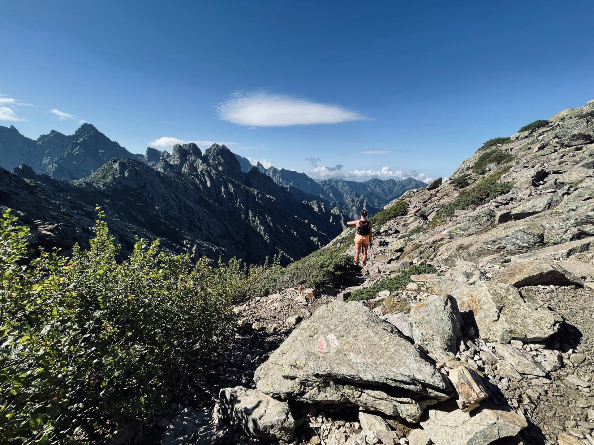
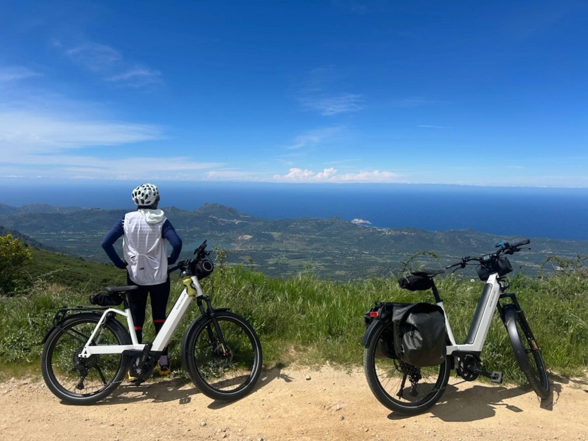
Experience a unique adventure in Corsica with this Mix Bike/Hiking concept, combining sporting exploration and natural immersion. From Bastia to Conca , cross the island from north to south by combining two iconic routes: the GT20 by bike to explore the wild landscapes of the north, then the legendary GR20 on foot to venture into the heart of the rugged terrain of the south.
Between turquoise seas , mountain peaks , and authentic villages, this trip offers a perfect balance between physical exertion and moments of contemplation . Each stage reveals the richness of Corsican landscapes, from forests and valleys to summits.
Designed for those who love a challenge , freedom , and unspoiled nature , this comprehensive itinerary offers a true escape and total immersion in Corsica . An intense and varied experience, ideal for reconnecting with what truly matters while enjoying an extraordinary sporting adventure.
The highlights
-
Complete crossing of Corsica from north to south, combining cycling on the GT20 and hiking on the GR20
-
Varied landscapes ranging from turquoise sea to wild mountains and Corsican villages
-
An intense sporting experience combining physical challenge and nature immersion
Photos
Sport
Level
Leisure Cycling
For those wishing to ride 70 km per day. The stages may be hilly, with a maximum daily elevation gain of 800 m. You engage in sports 1 to 2 times a week and cycle several times a month.
In figures
PRIVATE HIRE VEHICLE
- Average distance/day: 58 km
- Average daily elevation gain: 1010 m
- Predominant type of terrain : Road
Trekking
- Average duration/day: 6h
- Average daily elevation gain: 869 m
- Average daily descent: 786 m
- Exposed Passages: Yes
Management
Program
-
Tour of Cap Corse via the coastal road
- Activity PRIVATE HIRE VEHICLE
- Distance 50 km
- Positive elevation gain 650 m
- Predominant type of terrain Road
- Accommodation 3-star hotel
- Breakfast included
- Lunch not included
- Dinner not included
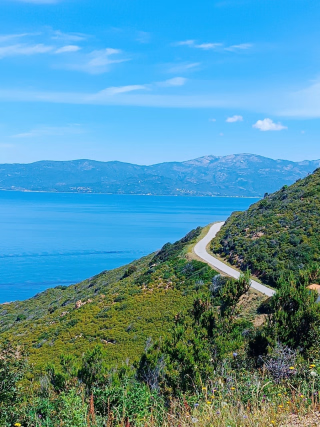
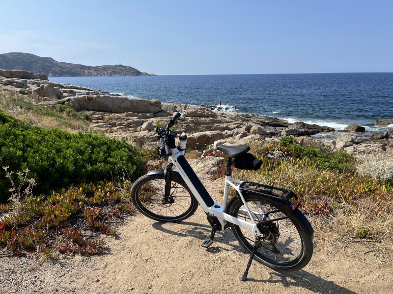
Cap Corse is best explored by following its coastal road, a loop that allows you to gently circumnavigate the island. Carved into the cliffs, this road hugs the contours of the land and overlooks the sea, offering varied viewpoints throughout.
You follow the coastline, passing through charming marinas and typical little ports where time seems to slow down. Between secluded coves, villages clinging to the hillside, and stretches along the seafront, the route offers a variety of atmospheres and landscapes, avoiding monotony.
This route offers a wonderful immersion into the authenticity of Cape Town, accessible and pleasant to travel, whether for a day trip or by taking the time to make regular stops.
Day 1 -
West coast of Cap Corse and panoramas of Saint-Florent
- Activity PRIVATE HIRE VEHICLE
- Distance 65 km
- Positive elevation gain 785 m
- Predominant type of terrain Road
- Accommodation 3-star hotel
- Breakfast included
- Lunch not included
- Dinner not included
On the western slope, the coast becomes steeper and dominates the shoreline considerably. The road overlooks the sea and passes beneath the gaze of Genoese towers, witnesses to the past, while old windmills appear on the ridges.
The higher elevations in this part of the Cap offer sweeping panoramic views of the entire peninsula and the Bay of Saint-Florent. This contrast between cliffs, ridgelines, and the sea horizon accompanies your progress and sets the pace of your exploration.
Day 2 -
From Agriates to Balagne, between desert and perched villages
- Activity PRIVATE HIRE VEHICLE
- Distance 60 km
- Positive elevation gain 1200 m
- Predominant type of terrain Road
- Accommodation 3-star hotel
- Breakfast included
- Lunch not included
- Dinner included
The stage begins with a crossing of the Agriates desert, a wild territory with open landscapes, between scrubland and gentle hills. You progress through a pristine, mineral environment, far from the hustle and bustle, with the sea never far away in the background.
The route continues towards the perched villages of Haute Balagne, nestled on natural promontories. As you gain altitude, you'll enjoy sweeping panoramic views of the surrounding area. The vistas gradually open up to the bays of Calvi and Île-Rousse, offering a beautiful panorama of the coastline and the surrounding landscape.
This stage alternates between wild spaces and charming villages, with landscapes that change as you progress.
Day 3 -
Villages of Balagne and a break by the sea
- Activity PRIVATE HIRE VEHICLE
- Distance 70 km
- Positive elevation gain 1190 m
- Predominant type of terrain Road
- Accommodation 2-star hotel
- Breakfast included
- Lunch not included
- Dinner not included
You'll explore the villages of Balagne by following a network of secondary roads, far from the main thoroughfares. The route passes through charming villages, where narrow streets, squares, and stone buildings tell the story of local life.
Throughout the day, you have the opportunity to meet many artisans based in these villages. Their workshops allow you to observe a variety of skills and exchange ideas about local products.
Depending on your preferences, you can also choose to slow down and enjoy a relaxing moment by the sea. The nearby beaches offer a pleasant alternative for a more tranquil break, combining swimming and rest.
Day 4 -
Marsolinu Pass and arrival at Galeria
- Activity PRIVATE HIRE VEHICLE
- Distance 55 km
- Positive elevation gain 1060 m
- Predominant type of terrain Road
- Accommodation 3-star hotel
- Breakfast included
- Lunch not included
- Dinner not included
You begin the ascent of the Marsolinu pass, a gradual climb that allows you to gain a higher vantage point over the region. As you travel along the road, the landscapes open up to beautiful panoramas of the Calvi region, between the mountains and the coastline.
After the descent, you reach Galeria, a village nestled by the sea, away from the main roads. The atmosphere there is calmer, with a more relaxed pace of life.
Nestled between the sea and the mountains, this location offers a relaxing setting, far from the summer crowds. Enjoy a more tranquil stopover, ideal for resting and appreciating the natural surroundings.
Day 5 -
Western coastline and panorama of the Palmarella pass
- Activity PRIVATE HIRE VEHICLE
- Distance 50 km
- Positive elevation gain 700 m
- Predominant type of terrain Road
- Accommodation 3-star hotel
- Breakfast included
- Lunch not included
- Dinner included
The road takes you along the western coast of Corsica, where the landscape gradually slopes down to the sea. You travel between maquis shrubland, cliffs, and sweeping views of the horizon, in a wild and unspoiled environment.
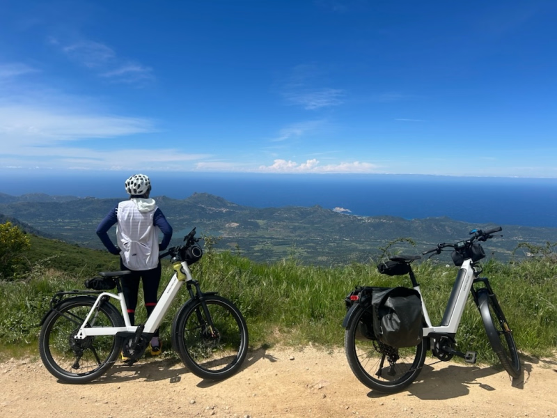
The climb to the Palmarella pass marks a highlight of the stage. Once at the summit, a vast panorama opens up over the coast and the surrounding hills, offering one of the most striking views of the trip.
This section of road alternates between scenic views and immersion in denser nature, with landscapes that unfold as you progress.
Day 6 -
Vergio Pass, Spelunca Gorges and Niolu Massif
- Activity PRIVATE HIRE VEHICLE
- Distance 60 km
- Positive elevation gain 1610 m
- Predominant type of terrain Road
- Accommodation 3-star hotel
- Breakfast included
- Lunch not included
- Dinner not included
You embark on the ascent of the Vergio pass, an iconic crossing point between the coast and the interior. The road crosses contrasting landscapes, notably the Spelunca gorges, where rock and vegetation create a striking setting.
As you gain altitude, the landscape becomes more mountainous, signaling your entry into the Niolu region. This wilder territory offers unobstructed views of the surrounding peaks.
On the horizon are Monte Cintu, the highest point of the island, and Paglia Orba, the recognizable silhouette of the Corsican massif. This stage immerses you in a more interior Corsica, between marked reliefs and mountain atmosphere.
Day 7 -
Scala di Santa Regina and arrival at Corte
- Activity PRIVATE HIRE VEHICLE
- Distance 50 km
- Positive elevation gain 880 m
- Predominant type of terrain Road
- Accommodation 3-star hotel
- Breakfast included
- Lunch not included
- Dinner not included
You'll pass through the Scala di Santa Regina gorge, a spectacular passage where the road winds between impressive rock faces. The atmosphere is stark and mineral, with dramatic landscapes that accompany your progress.
Throughout the route, the road remains pleasant and offers varied views, from steep hills to more open valleys. This section is particularly appreciated for the quality of its scenery.
You then continue to Corte, considered the historical capital of Corsica. Nestled in the heart of the mountains, the town marks a transition to the interior of the island, with a setting that is both cultural and natural.
Day 8 -
Start of the GR Sud and Palmente pass
- Transportation TER / Metro / Tram - 01h - 20km
- Activity Trekking
- Duration of the activity 5h15
- Positive elevation gain 890 m
- Negative elevation 220 m
- Accommodation Refuge
- Breakfast included
- Lunch not included
- Dinner included
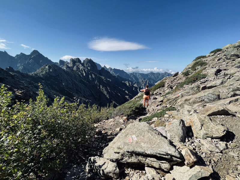
You begin your journey on the GR Sud, following an old mule track that gradually climbs through the maquis. The ascent is steady and leads you to the Col de Palmente at 1640m altitude.
As you progress, the landscapes open up, revealing sweeping views. Once you reach the pass, the eastern coast unfolds at your feet, offering an unobstructed panorama of the Diana and Urbinu lakes.
This first stage sets the tone, between immersion in nature and sweeping views of the coastline.
Day 9 -
Marmano Forest and Verde Pass
- Activity Trekking
- Duration of the activity 4h30
- Positive elevation gain 460 m
- Negative elevation 750 m
- Accommodation Refuge
- Breakfast included
- Lunch included
- Dinner included
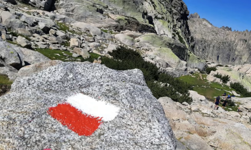
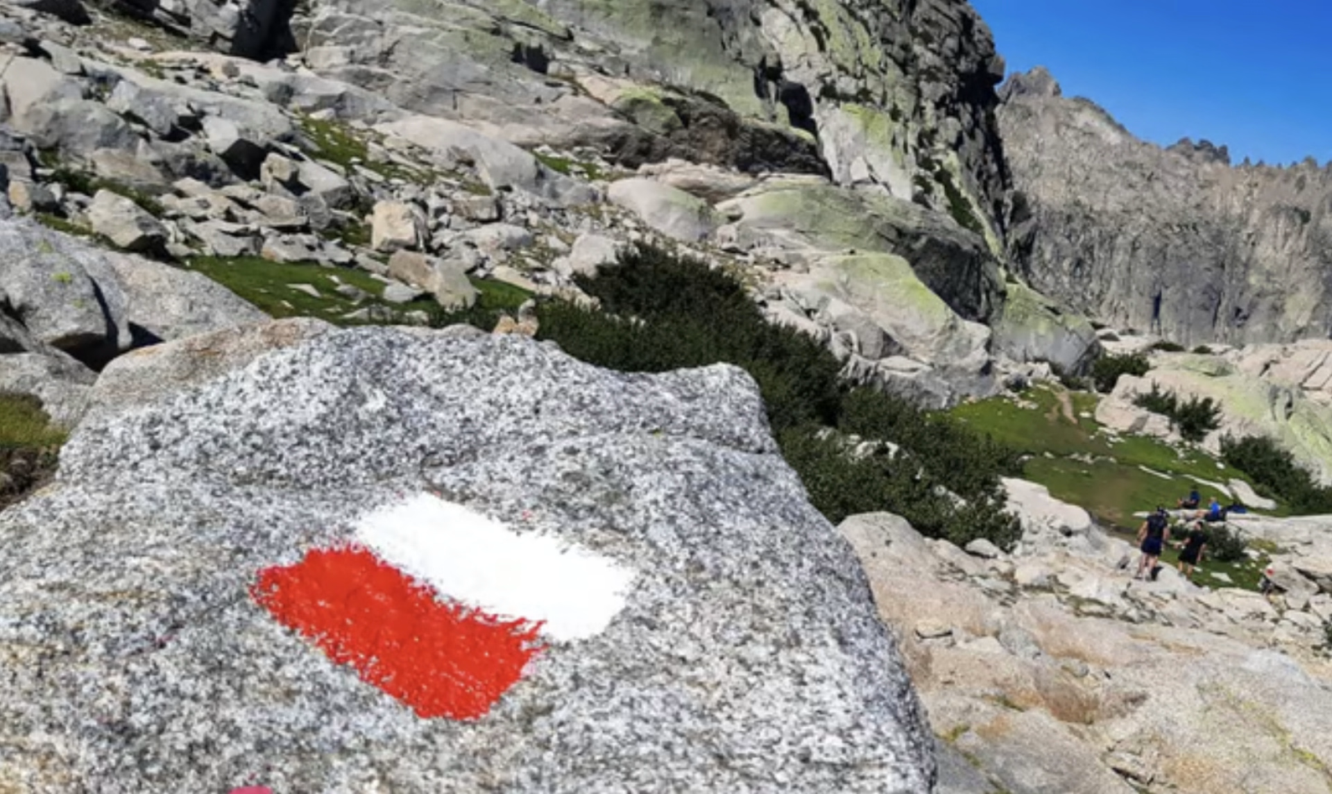
You continue along the red and white trail for a stage immersed in the forest. The route begins on an old logging track, before gradually climbing through the woods.
You cross the Marmano beech forest, a dense woodland offering a cooler, shadier atmosphere. The path winds between the trees, with a steady climb to the Col de Verde.
This stage takes place mostly in the undergrowth, offering a pleasant contrast to the more open panoramas of the previous days.
Day 10 -
Taravu Ridges and Punta Cappella
- Activity Trekking
- Duration of the activity 7h30
- Positive elevation gain 800 m
- Negative elevation 1385 m
- Exposed passages Yes
- Accommodation Refuge
- Breakfast included
- Lunch included
- Dinner included
You continue your southward journey along a ridge route, between the Taravu valley and the eastern plain. The path winds along a balcony, offering unobstructed views on both sides of the terrain.
Along the way, you pass by Punta Cappella at 2041m, a highlight of the stage. The route then becomes more exposed, especially on the summit ridge, with sections on sometimes steep rocky slopes.
These sections require attention but do not require any special equipment. This stage alternates between sensations of height and wide panoramas, in an open, rocky environment.
Day 11 -
Ridge of the Statues and Bassetta Inn
- Activity Trekking
- Duration of the activity 4h30
- Positive elevation gain 380 m
- Negative elevation 640 m
- Accommodation Refuge
- Breakfast included
- Lunch included
- Dinner included
You reach the ridge of statues and continue along the crest, in the heart of a striking mineral landscape. The path winds between imposing granite blocks sculpted by the wind, creating a unique atmosphere throughout the route.
In the background, the Tyrrhenian Sea unfolds, creating a striking contrast between the rocky terrain and the sea horizon. This ridge section offers varied terrain, alternating between open passages and narrower sections.
You then begin the descent via a variant, crossing gentler hills, until you reach the Bassetta inn, nestled in a more peaceful environment.
Day 12 -
Cuscionu plateau and Bavella needles
- Activity Trekking
- Duration of the activity 6h45
- Positive elevation gain 1330 m
- Negative elevation 1320 m
- Exposed passages Yes
- Accommodation Refuge
- Breakfast included
- Lunch included
- Dinner included
You cross the Cuscionu plateau, the highest plateau in the Regional Natural Park, where vast open spaces dotted with pozzines (small ponds) stretch out. The atmosphere there is different, between gentle hills and open landscapes.
The day continues with a long descent towards Asinao, before taking a more challenging route. You follow the alpine variant, on steeper terrain, which requires careful progress.
You will thus walk through the heart of the famous Bavella Needles, granite formations whose shapes have been marked by erosion. The landscapes are particularly spectacular and offer a mineral scenery throughout the entire stage.
Day 13 -
Final descent towards Conca
- Activity Trekking
- Duration of the activity 6h45
- Positive elevation gain 1350 m
- Negative elevation 400 m
- Breakfast included
- Lunch included
- Dinner not included
This final stage takes place on a gentle slope, but remains demanding. The descent is long, without any water sources, and the heat of the coast can be noticeable, requiring careful effort management.
You gradually traverse different vegetation zones, transitioning from a mountain atmosphere to a more Mediterranean environment. The trail leads you to the Bocca d'Usciolu, a significant landmark before beginning the final section.
The descent then continues to the village of Conca, the end of your route. You thus reach the final point of your journey, after a complete traverse between mountains and coastline.
Day 14
Accommodation
Access
There are shuttles or taxis from Conca to Porto-Vecchio
Go to the starting point
For the return flight to Figari, Ajaccio or Bastia airports
For the return ferry to Porto-Vecchio or Propriano or Bastia or Ajaccio
Price details
The price includes
- Accommodation in 2/3* hotels for 7 nights
- Breakfast is included for all your hotel nights.
- Dinners in Belgodère and Porto
- Routes with GPX tracks and possible variations at each stage
- Comprehensive travel guides to help you make the most of your stay
- A visit to a vineyard in Patrimonio
- Accommodation in mountain huts/gîtes for 5 nights
- The train to Vizzavona
- Full board from dinner on day 9 to lunch on day 14
- The transfer to Corte train station
- The roadbook and the geolocation app for the hiking section
The price does not include
- Cancellation and repatriation assistance insurance
- Transfers from Conca to Porto-Vecchio (shuttle or taxi to be paid for on site to the driver)
- Personal expenses and drinks
- Bike rental option
- Single room supplement
- Stays with luggage transport are possible on scheduled dates.
Options
- Bike rental : CHF214.98 / unit
- Bike helmet : CHF10.98 / unit
- Bicycle panniers : CHF21.04 / unit
- Flex fare and insurance
Practical information
Specific formalities
Specifics
Before your departure, check with the embassy or consulate regarding the entry and stay requirements for your destination country. You can also find this information on the France Diplomatie website ( https://www.diplomatie.gouv.fr/fr/dossiers-pays/ ).
In the case of flights with stopovers operated by different airlines, also check the entry requirements of the countries you are transiting through.
It is your responsibility to ensure you are in compliance, particularly regarding the validity of your identity documents (for example, some countries require your passport to be valid for at least six months after your return) , visa requirements, necessary vaccinations, and health recommendations. And don't forget to consider any customs restrictions and other potential requirements of your destination or transit country.
ℹ️ Information may change up to the departure date, remember to regularly check official websites.
Equipment
Equipment to bring
- hiking shoes
- hiking bag
Clothing to bring
- Thermal jacket
- Waterproof jacket