Wild trail on Monte Rosa
In summary
-
Sports
-
Duration4 days
-
LevelAdvance
-
DestinationMonte Rosa Massif - France / Italy
-
AgeFrom the age of 18
-
CO₂-Emissions18.89 kg CO2
-
Type of stayIn a group
-
Languages
 French
In a few words
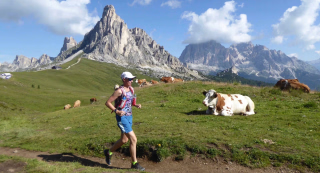
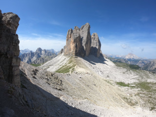
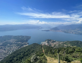
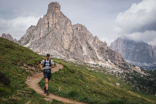
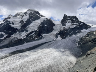
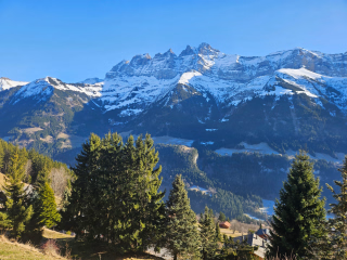
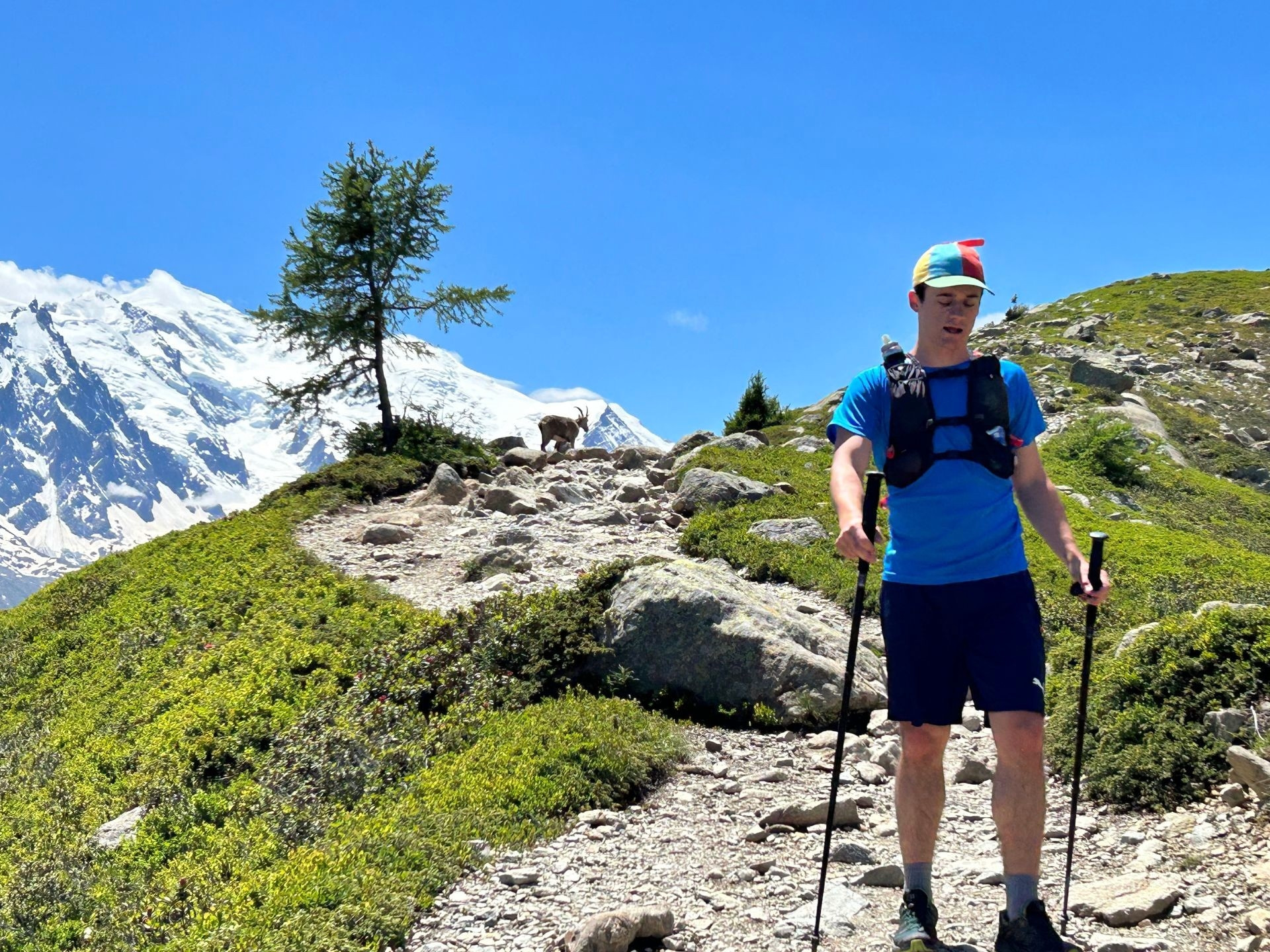
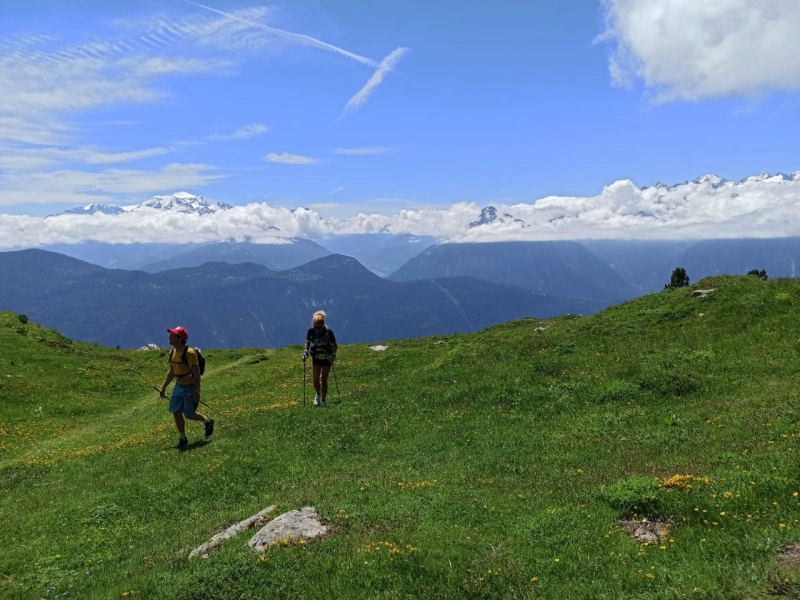
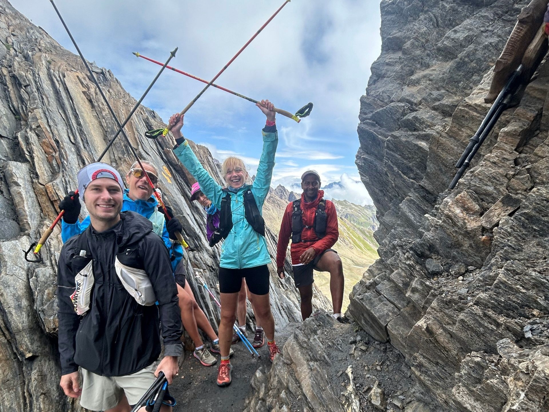
Between majestic glaciers and soaring ridges , this trail around the Monte Rosa massif immerses you in one of the most spectacular settings in the Alps. Located north of the Aosta Valley, this route leads you through technical and panoramic trails, bordered by eternal snow and breathtaking landscapes .
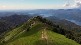
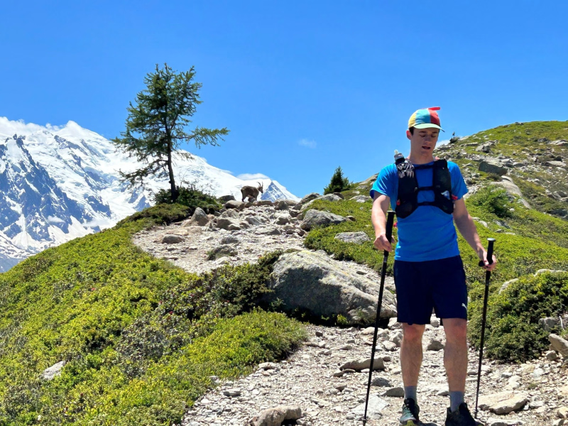
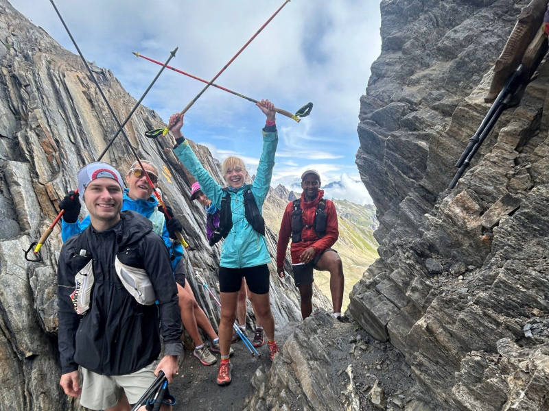
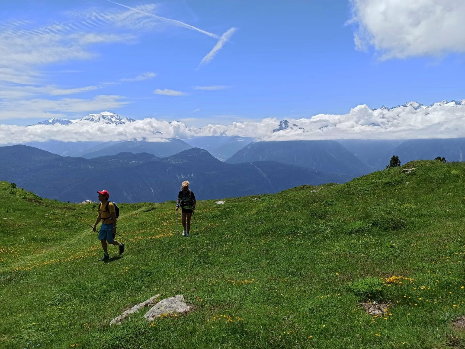
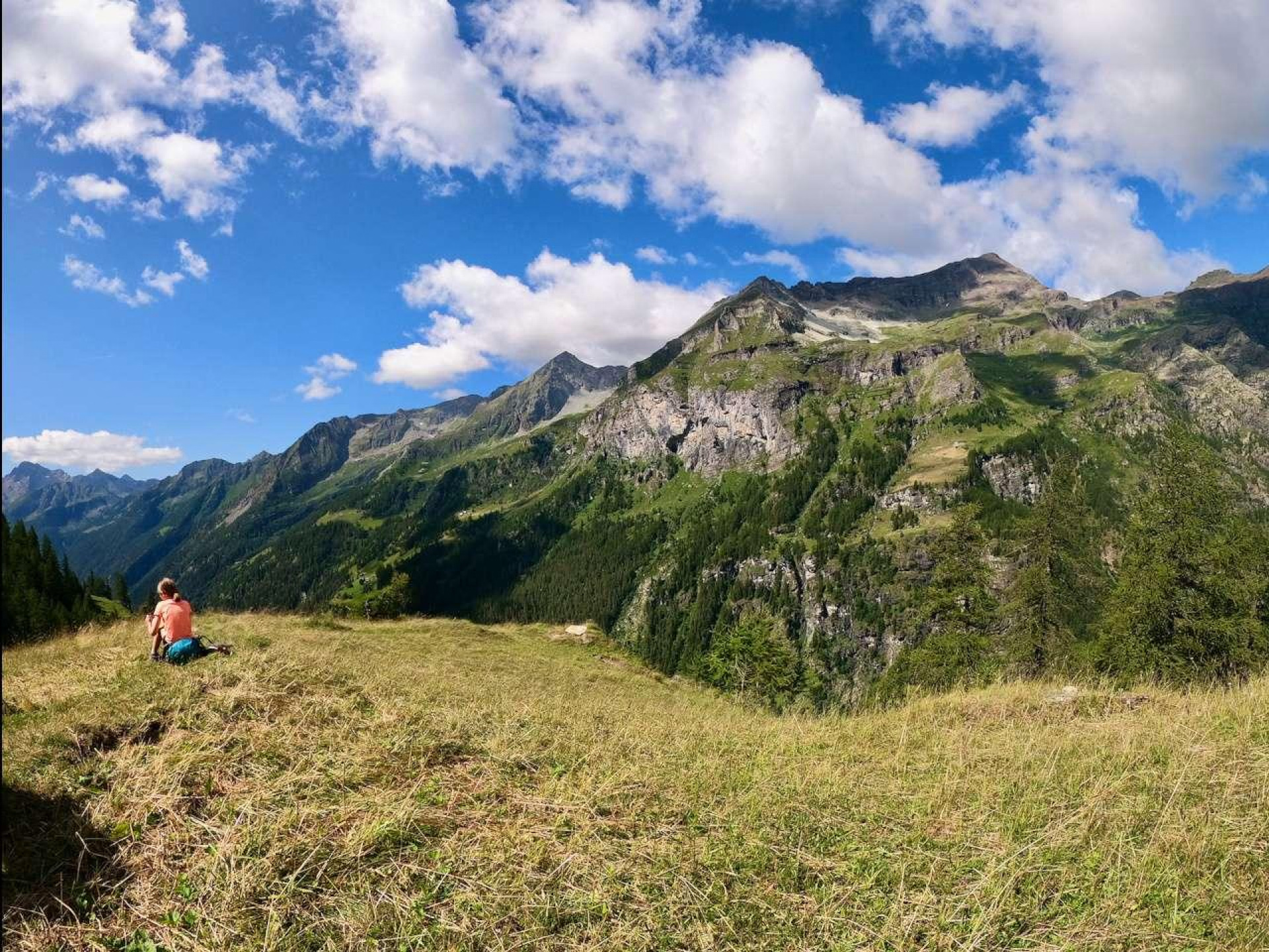
Each day is punctuated by high-altitude climbs, breathtaking views of the border peaks, and total immersion in nature . Here, rugged rock meets flowery alpine meadows and shimmering glaciers , in a wild atmosphere conducive to disconnecting.
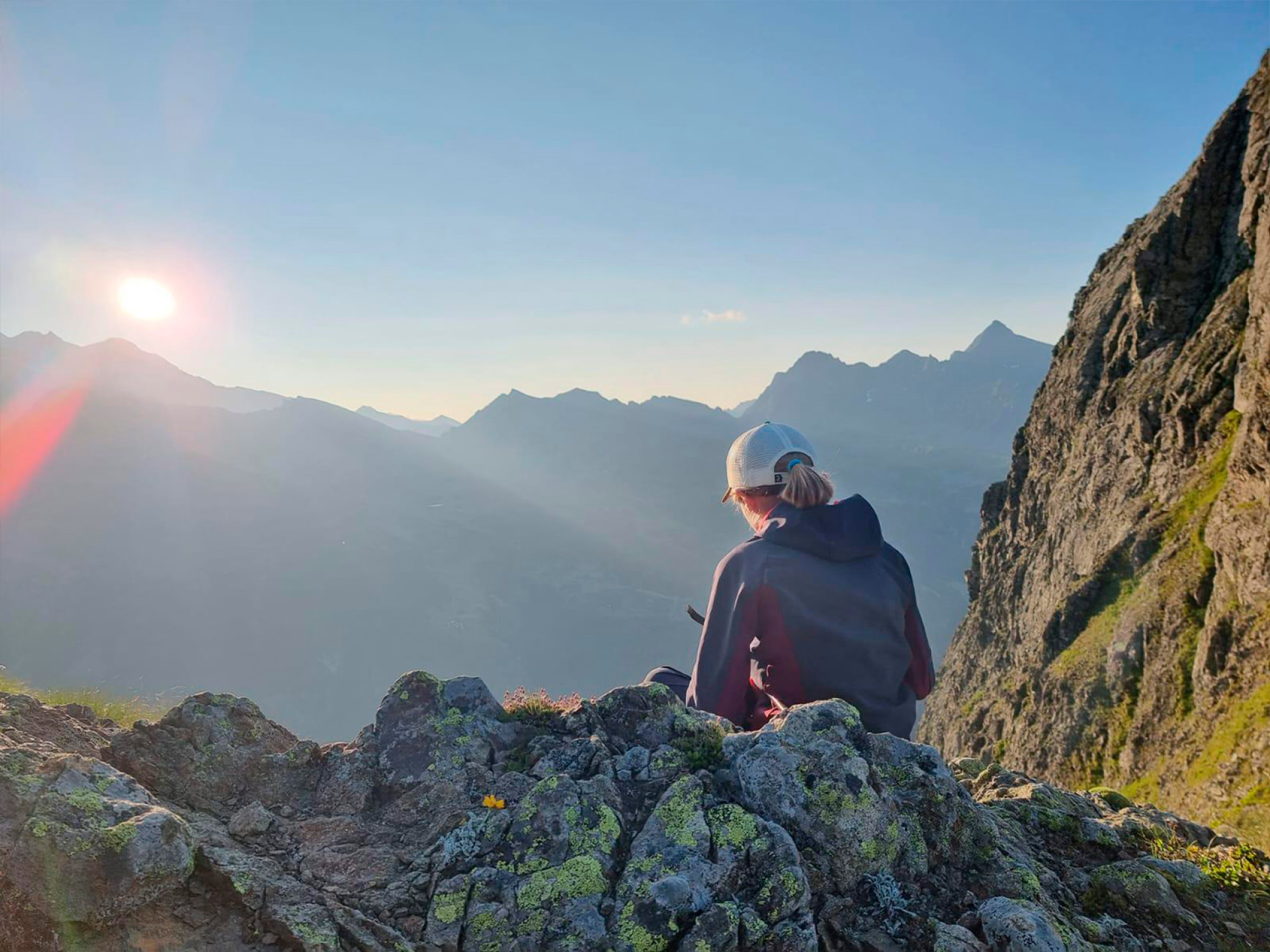
As you progress, the interplay of light transforms the environment, inviting constant contemplation . This trip is for those who love physical challenges, seeking an adventure where exertion blends with wonder. An extraordinary sensory and sporting experience , to be lived at your own pace.
The highlights
-
Discover the Aosta Valley and its gastronomy
-
Breathtaking landscapes around the Monte Rosa massif
-
Groups of a maximum of 8 participants
Photos

Sport
Level
Trail running
In figures
Trail and road running
- Average duration/day: 7h30
- Average distance/day: 20 km
- Average daily elevation gain: 1795 m
- Average daily descent: 1795 m
- Exposed Passages: Yes
Management
French
Jean Luc and his team
Qualified guides and lovers of the great outdoors, Jean Luc and his team design immersive itineraries in the Alps and beyond. Attentive, skilled teachers, and mindful of each individual's pace, they guide you on a profound exploration of the mountains: hiking, nature, culture, and connecting with the environment. Powerful human experiences, designed to blend exertion, serenity, and wonder.
Supervision provided by a Mountain Leader (AMM), with theoretical input on running in mountain environments. You will discover, in particular, Dynamic Joint Stacking (DJS) techniques, taught by your guides trained alongside Fred Brigaud , a renowned osteopath and trail running expert.
Program
-
Alpine loop around the Becca Trecaré
- Activity Trail and road running
- Duration of the activity 6h30
- Distance 16 km
- Positive elevation gain 1560 m
- Negative elevation 1560 m
- Exposed passages Yes
- Accommodation Refuge
- Breakfast not included
- Lunch not included
- Dinner included
Meet your guide in Champoluc at 8:30 am , who will present the program for your stay. This first day immerses you directly in the atmosphere of alpine trail running with a beautiful loop starting from Champoluc , alternating between larch forests, alpine pastures, and high-altitude trails. The ascent is gradual, offering spectacular views of the Monte Rosa massif with each kilometer .
The ascent to Becca Trecaré (3,036m) becomes more technical as you approach the summit, with a final rocky section that will test your agility. The descent follows a different, wilder route, winding between ridges and valleys, before reaching wide pastures where you might spot marmots and ibex . You will then return to your accommodation for a relaxing end to the day .
Day 1 -
Towards the glacier: ascent to Rifugio Mezzalama
- Activity Trail and road running
- Duration of the activity 6h30
- Distance 20 km
- Positive elevation gain 1650 m
- Negative elevation 1650 m
- Accommodation Refuge
- Breakfast included
- Lunch included
- Dinner included
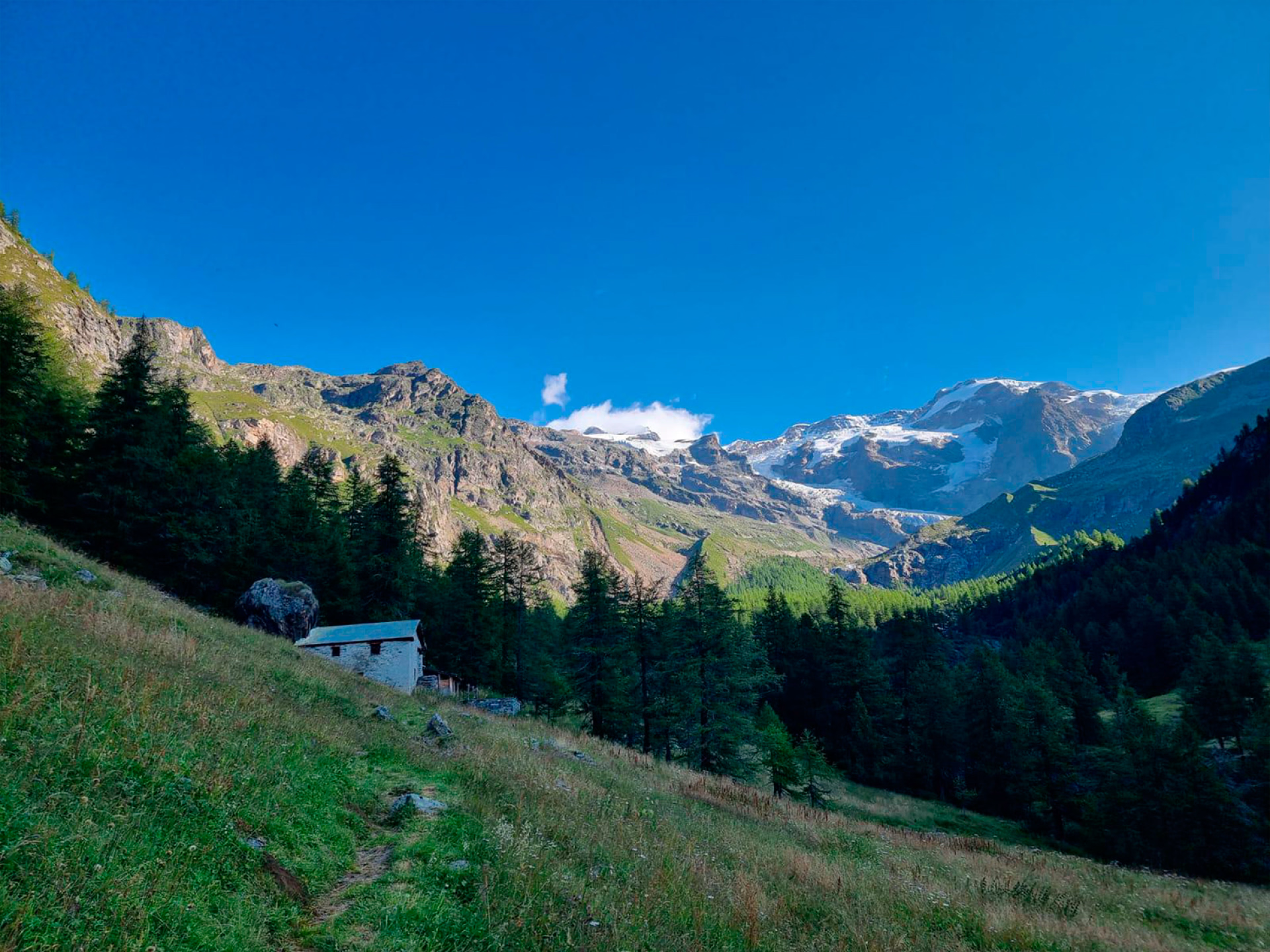
This day takes you on a challenging and spectacular route , ideal for trail running enthusiasts seeking high altitude and glacial scenery. You'll begin with a loop on the western slope of Champoluc , before tackling the ascent to the Rifugio Mezzalama . The trail climbs gently at first through larch forests , then opens onto the alpine pastures of the Valle di Verra , offering a first breathtaking view of the Monte Rosa glacier .
The effort intensifies from the Rifugio Guide Frachey until reaching the Pian di Verra Superior , a vast mineral plateau at the foot of the peaks. The final ascent to the Rifugio Mezzalama (3,036m) is on a rocky and challenging path , in an alpine environment dominated by seracs and permanent snow .
Day 2 -
Objective Rothorn: High-altitude immersion
- Activity Trail and road running
- Duration of the activity 8h30
- Distance 22 km
- Positive elevation gain 2300 m
- Negative elevation 2300 m
- Exposed passages Yes
- Accommodation Refuge
- Breakfast included
- Lunch included
- Dinner included
After a hearty breakfast , you set off for a challenging day in the heart of the Val d'Ayas. The trail climbs steeply from the very first meters, winding through a dense forest before reaching the alpine pastures of Cuneaz , a charming hamlet perched at over 2,000 meters altitude. The slope then steepens, revealing breathtaking views of the surrounding peaks, including the Matterhorn , as you ascend .
The final approach to the Rothorn (3,150m) becomes more challenging, with sections of scree and exposed ridges where the altitude begins to take its toll. But at the summit, the effort is amply rewarded by a panoramic view encompassing Monte Rosa, the Grand Combin , and the surrounding valleys. The descent follows a different route, first through alpine meadows , then along gentler paths back to your accommodation.
Day 3 -
Towards the Colle della Battaglia and the perched lake
- Activity Trail and road running
- Duration of the activity 7h30
- Distance 20 km
- Positive elevation gain 1670 m
- Negative elevation 1670 m
- Exposed passages Yes
- Breakfast included
- Lunch included
- Dinner not included
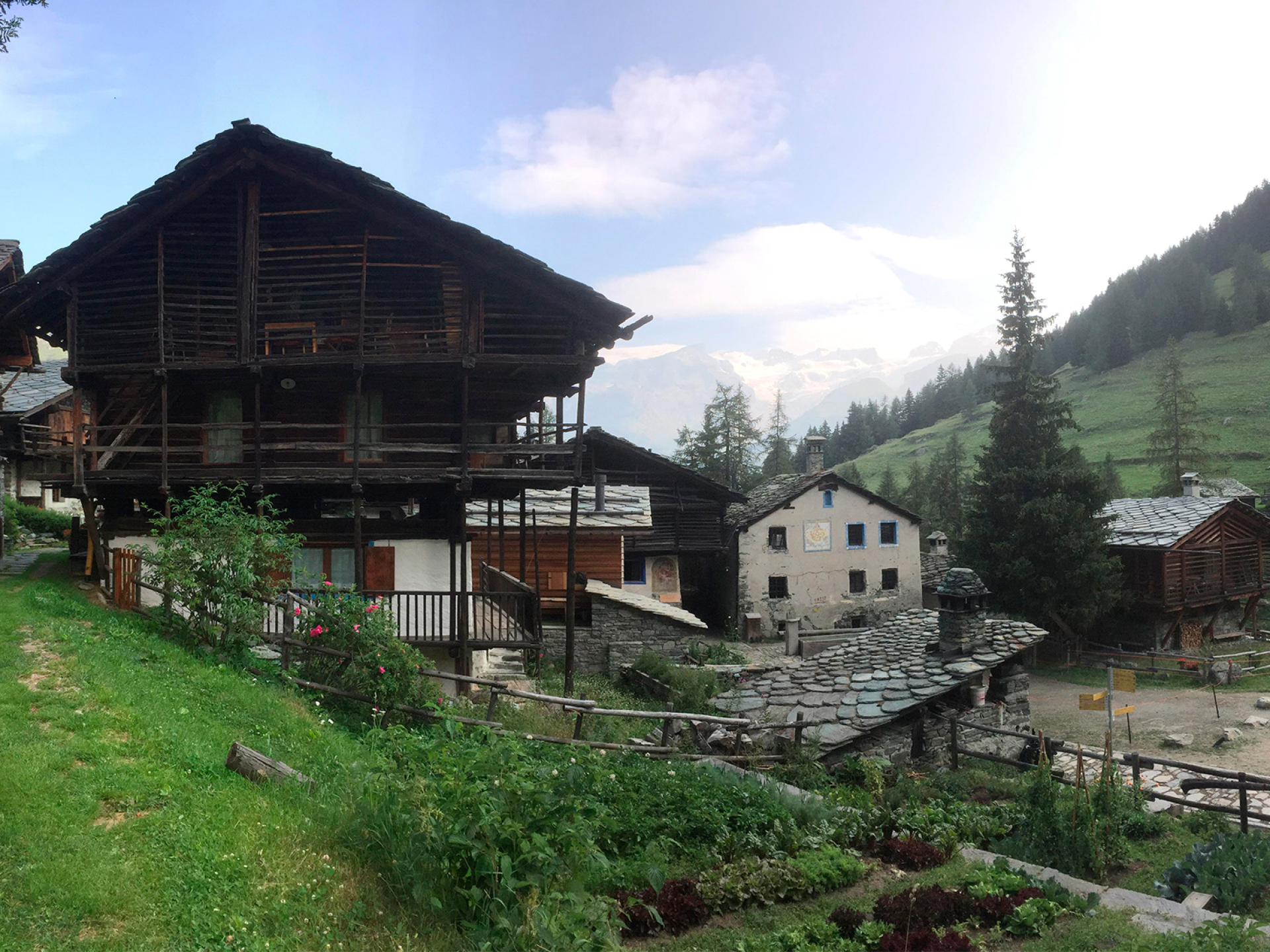
For this final stage, you'll follow a varied and immersive route , passing through high-altitude hamlets and stark, mineral landscapes. The ascent begins gently, leading to the alpine pastures of Mascognaz , a typical village located at over 1,800m.
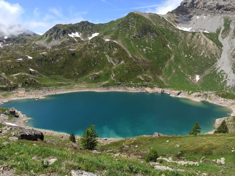
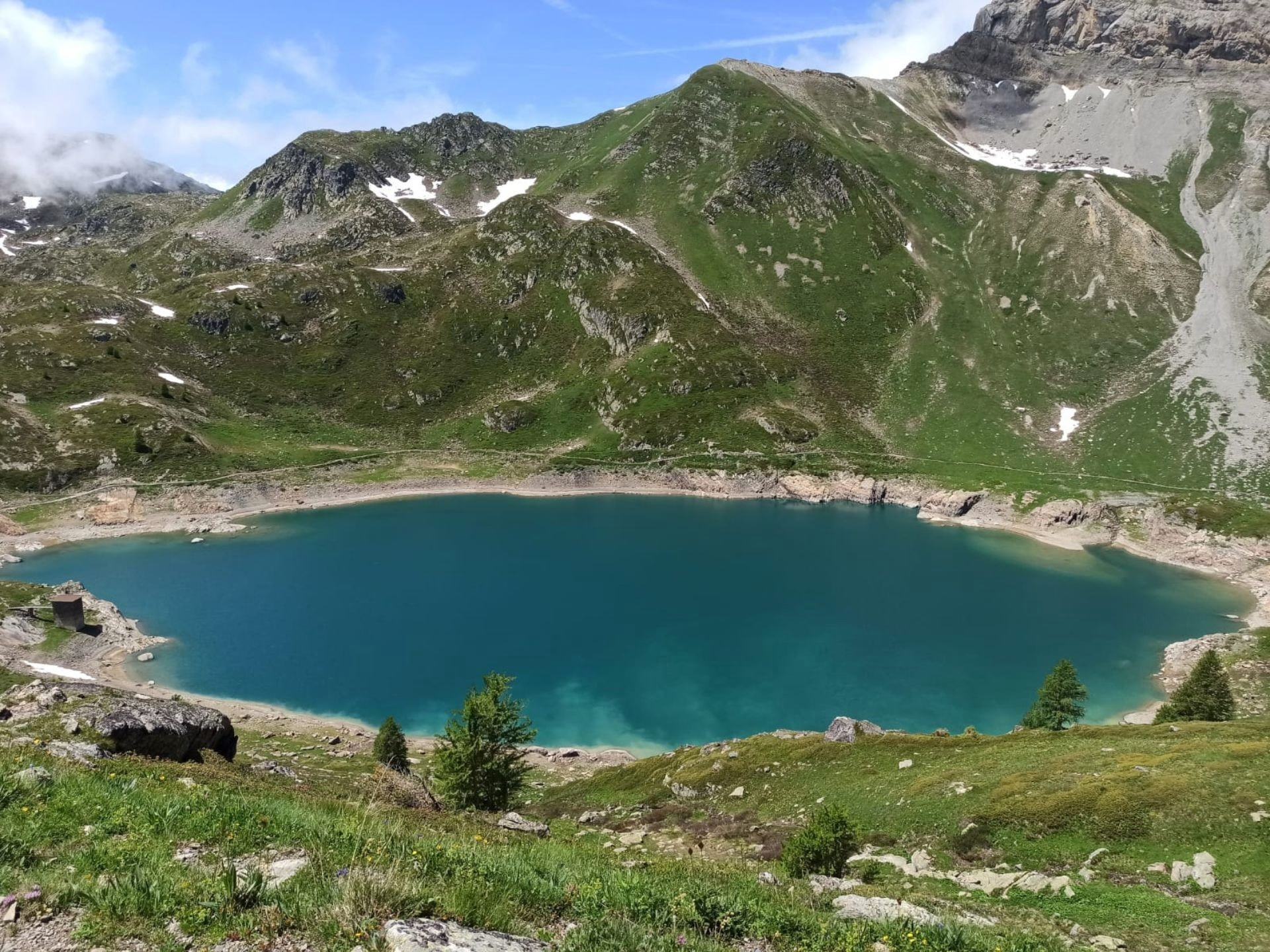
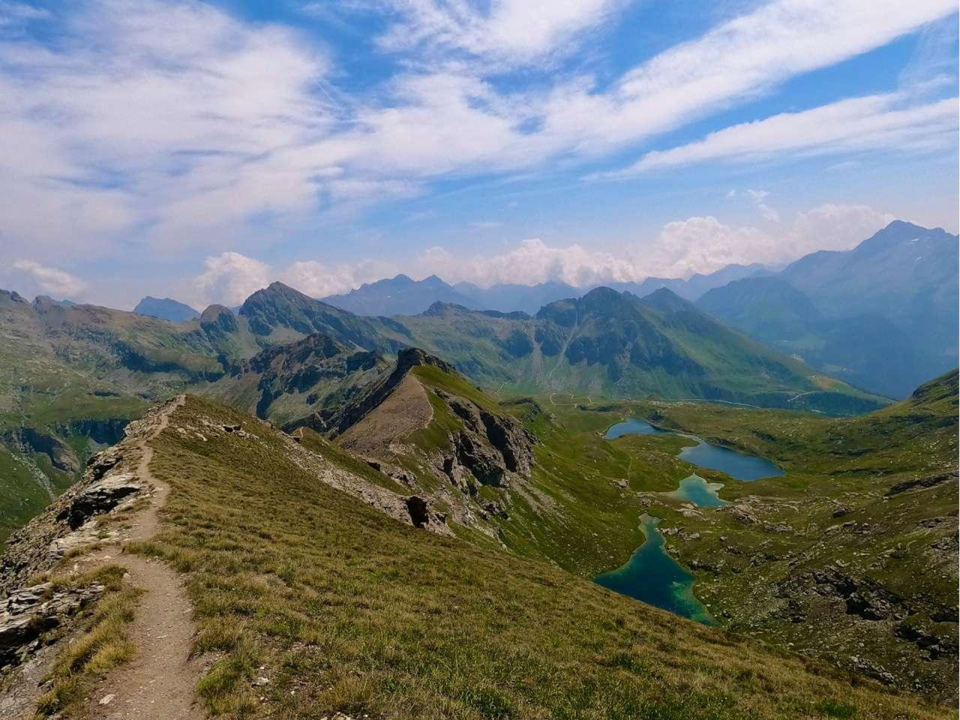
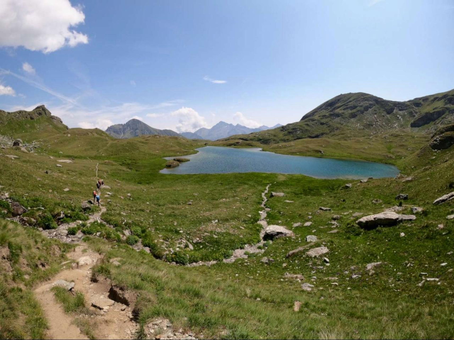
The landscape then becomes wilder, with a path that crosses grassy slopes and scree fields , until reaching the Colle della Battaglia (2,657m) . This pass marks the entrance to a preserved mineral world , where the Lac de la Bataille (Battle Lake) lies nestled , its waters crystal clear, surrounded by majestic peaks and offering a spectacular panorama of Monte Rosa .
The descent follows an alternative route , combining open valleys and forest sections towards Champoluc . Some easier sections will allow you to pick up the pace, while others, more technical, will require good terrain skills . You'll end this wonderful adventure with a drink in Champoluc before heading back.
Day 4
Note
This program may be modified at the guide's discretion if mountain conditions, weather or the physical condition of the participants require it.
Accommodation
Access
Go to the starting point
- Via Chamonix – Mont Blanc : Chamonix is accessible by train from major French airports as well as from Geneva. From there, you can reach Courmayeur in the Aosta Valley via the Mont Blanc Tunnel. Bus services are available between Chamonix and the Aosta Valley, but for greater freedom of movement, renting a car is recommended.
- Via Geneva or Martigny : From Geneva Airport, you can easily reach Martigny by train. Continue on to the Aosta Valley, passing through the Great St. Bernard Tunnel. Buses also connect Martigny to Aosta, but a rental car will offer greater flexibility.
- Via Bourg-Saint-Maurice – Little St. Bernard Pass : Accessible by train from major French airports, Bourg-Saint-Maurice offers an attractive alternative. Once there, you can rent a car and reach the Aosta Valley via the Little St. Bernard Pass (allow approximately 2 hours for the drive). This slightly longer option avoids the toll fees of the Mont Blanc Tunnel.
Public transport in the Aosta Valley
- Regional bus network throughout the Aosta Valley
- Bus connections between Chamonix and Courmayeur
- Bus connections between Courmayeur and Aosta (with a stop in Villeneuve to access Valsavarenche)
- Direct bus connections between Milan and Aosta
- From Paris: Approximately 7 hours 30 minutes journey time for a distance of about 700 km. Take the A6 motorway towards Lyon, then the A43 towards Chambéry and the Fréjus Tunnel to enter Italy. Continue on the A5 motorway towards Aosta, then take the Verrès exit. From there, follow the SR45 regional road for approximately 27 km to Champoluc.
- From Marseille: Approximately 6 hours 30 minutes journey time for a distance of about 550 km. Take the A7 motorway towards Lyon, then follow the route mentioned above from Lyon.
- From Lyon: Approximately 4 hours 30 minutes journey time for a distance of about 350 km. Take the A43 motorway towards Chambéry, then go through the Fréjus tunnel to enter Italy. Continue on the A5 motorway towards Aosta, exit at Verrès and follow the SR45 to Champoluc.
Price details
The price includes
- Supervision by a state-certified mountain guide from our team
- Half-board in a mountain refuge
- Accommodation in a mountain refuge in a shared mixed dormitory
- Picnics on Day 2, Day 3 and Day 4
- Mandatory transportation included in the program
- Video resources to help you progress and improve your technique
- Theoretical input on mountain running with an explanation of EAD (Dynamic Joint Stacking) techniques
- Pack of photos and videos from the technical workshops
The price does not include
- Day 1 Picnic
- Drinks and personal expenses
- Tips
Options
- Flex fare and insurance
Practical information
Specific formalities
Specifics
Before your departure, check with the embassy or consulate regarding the entry and stay requirements for your destination country. You can also find this information on the France Diplomatie website ( https://www.diplomatie.gouv.fr/fr/dossiers-pays/ ).
In the case of flights with stopovers operated by different airlines, also check the entry requirements of the countries you are transiting through.
It is your responsibility to ensure you are in compliance, particularly regarding the validity of your identity documents (for example, some countries require your passport to be valid for at least six months after your return) , visa requirements, necessary vaccinations, and health recommendations. And don't forget to consider any customs restrictions and other potential requirements of your destination or transit country.
ℹ️ Information may change up to the departure date, remember to regularly check official websites.
Equipment
Equipment to bring
- Lightweight sleeping bag liner for the shelter
- 2 liters of water minimum
- Sunscreen SPF 30 to 50
- Category 3 sunglasses
- Lightweight headlamp
- Small treats like dried fruit, chocolate
- Cash and your valid ID card or passport
Clothing to bring
- Cap
- A buff or neck warmer is optional but very pleasant in bad weather.
- Gore-Tex type jacket or equivalent for inclement weather
- Pair of lightweight gloves
- Light down jacket for breaks
- Lightweight trail running overpants
- Sticky
- Plastic bag to keep spare clothes dry
- Spare clothes for the shelter
- Pair of mountain trail running shoes with a well-lugged sole