The Way of St. James (from Lyon to Le Puy-en-Velay)
In summary
-
Sports
-
Duration10 days
-
LevelConfirmed
-
DestinationRhône / Lyon
-
AgeFrom 16 - 90 years
-
CO₂-Emissions81.74 kg CO2
-
Type of stayIndependent traveler
In a few words
The highlights
-
A varied and interesting hiking trail away from the crowds
-
The visit to Lyon
-
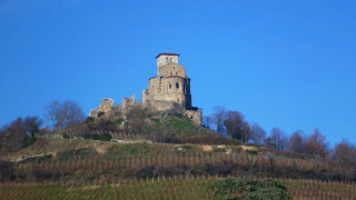
The numerous castles and strongholds: Montarcher, Artias, Lavoûte Polignac, Polignac...
Photos



Sport
Level
Hiking / Trekking
In figures
Hiking
- Average duration/day: 5h30
- Average distance/day: 22 km
- Average daily elevation gain: 510 m
- Average daily descent: 468 m
Management
Program
-
Lyon
- Accommodation 2-star hotel
- Breakfast not included
- Lunch not included
- Dinner not included
Arrival in Lyon in the late afternoon. Your accommodation includes bed and breakfast. Dinner is at your own expense, but you'll have no trouble finding one of the famous "bouchons" (traditional Lyonnais restaurants) in the St. Jean or St. Paul districts. Visit the city, a UNESCO World Heritage Site. If you arrive during the day, we recommend the very interesting St. James Way (Camino de Santiago) in Lyon.
If you live in the Lyon area, feel free to contact us for the " Leave from home to St. James of Compostela " option.
Day 1 -
Lyon - Thurins
- Activity Hiking
- Duration of the activity 5h30
- Distance 22 km
- Positive elevation gain 370 m
- Negative elevation 200 m
- Accommodation Bed and Breakfast
- Breakfast included
- Lunch not included
- Dinner included
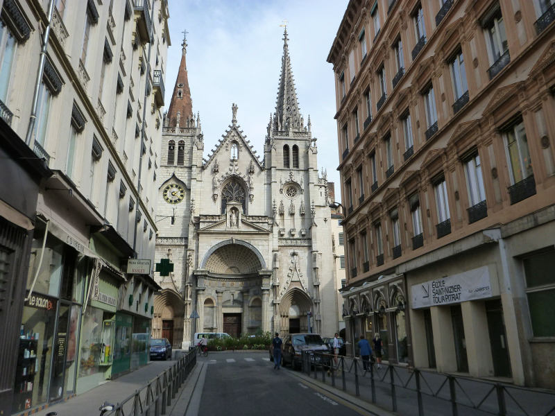
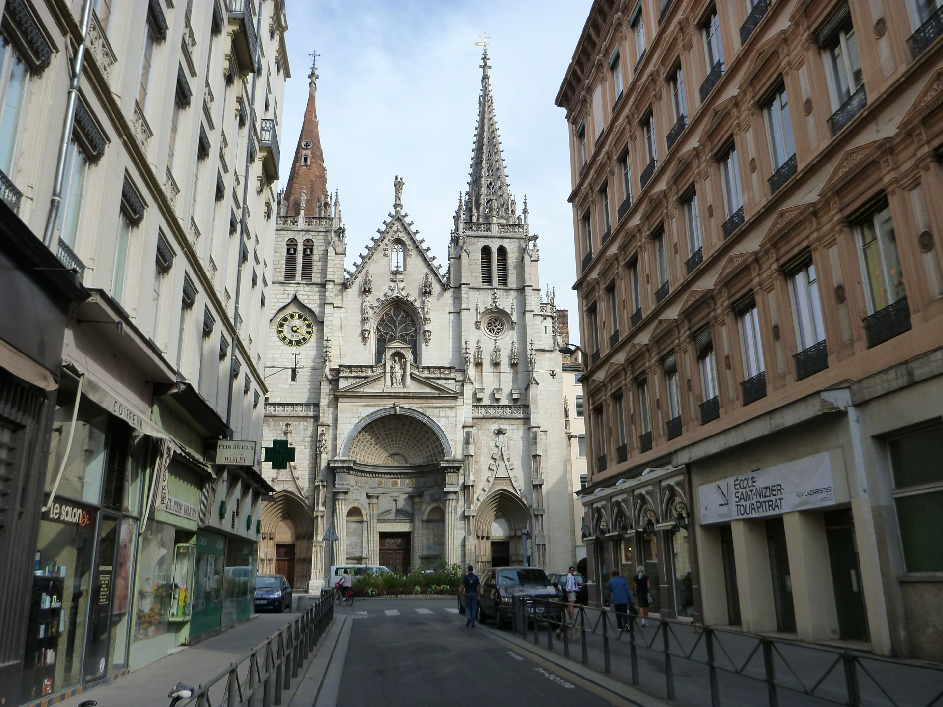
Starting from St. Nizier Cathedral, after crossing the Saône River, you'll reach the Saint Jean district and its cathedral. The warm-up begins here with the climb up the Gourguillon, a favorite among Lyonnais. You'll pass near Fort St. Irénée, heading towards Sainte-Foy-lès-Lyon, Beaunant, and Chaponost. Although urban, the route follows quiet country roads. You'll encounter several aqueducts, remnants of the water supply system that brought water from the Pilat Massif to Lugdunum (Lyon) during the Gallo-Roman period. The Garon Valley offers a bucolic respite just before Soucieu-en-Jarrest. Beautiful houses and landscapes of meadows, fields, and orchards accompany you to Thurins, your next stop (or to Soucieu-en-Jarrest, 5 km away, 1 hour 15 minutes), at the foot of the Monts du Lyonnais.
Day 2 -
Thurins - St Symphorien sur Coise
- Activity Hiking
- Duration of the activity 5h30
- Distance 20 km
- Positive elevation gain 690 m
- Negative elevation 520 m
- Accommodation 2-star hotel
- Breakfast included
- Lunch not included
- Dinner included
You'll find this section of the route through the Monts du Lyonnais very pleasant, with its gentle ascents and descents. From now on, paths and trails predominate. Your stage begins with a slow climb, passing near the villages of Rontalon and the aptly named St Martin en Haut. Your highest point, at 814 meters, marks the watershed between the Mediterranean and the Atlantic. The waters now flow towards the Loire. You manage to St Symphorien sur Coise, formerly a medieval fortified town. This will be your stop for the day, dominated by its imposing Gothic-style fortified church.
Day 3 -
St Symphorien sur Coise - St Galmier
- Activity Hiking
- Duration of the activity 3h
- Distance 15 km
- Positive elevation gain 200 m
- Negative elevation 360 m
- Accommodation Bed and Breakfast
- Breakfast included
- Lunch not included
- Dinner included
The stage is short, so we recommend spending a good part of the morning exploring the village of Saint Symphorien sur Coise. You'll leave the Monts du Lyonnais and enter the Loire region. The presence of numerous watermills on the Coise River testifies to the economy and development of the villages since Gallo-Roman times. You'll pass near Chazelles-sur-Lyon, the home of the hat. Here, Saint James is said to have invented the felt-making technique that brought wealth to the town. Today's stage offers beautiful views of the nearby Forez plain. You'll arrive in Saint-Galmier. Here again, water has shaped the landscapes and the economy since Roman times, and then in the Middle Ages. The Badoit spring is now the best-selling bottled water in France. Enjoy it to your heart's content!
Day 4 -
St Galmier - Montbrison
- Activity Hiking
- Duration of the activity 5h
- Distance 21 km
- Positive elevation gain 80 m
- Negative elevation 120 m
- Accommodation Bed and Breakfast
- Breakfast included
- Lunch not included
- Dinner not included
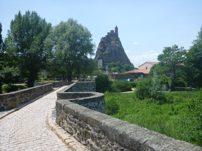
The path leads you into the Forez plain where you cross the Loire River at Rivas, a leisurely stroll (via the bridge!). No doubt you'll spare a thought for the medieval pilgrims who had to cross it in perilous conditions, taking long detours, relying on ferrymen, or even drowning. You arrive at St. Romain le Puy, where you'll be under the protection of St. James, like all the pilgrims who have admired the small 10th-century chapel perched atop its volcanic outcrop. As the stage is flat, we encourage you to climb the 90 meters to reach the summit of the Puy, offering a beautiful view over the entire plain, past stages, and future stages. The stage ends in St. Romain le Puy, but you'll be staying in Montbrison, which you can reach by train (7 minutes – €2.40 payable locally).
Day 5 -
Montbrison - Marols
- Activity Hiking
- Duration of the activity 6h
- Distance 22 km
- Positive elevation gain 550 m
- Negative elevation 120 m
- Breakfast included
- Lunch not included
- Dinner included
You leave directly from Montbrison following the path that comes from Cluny.
At St Georges-Haute-Ville, you rejoin the Lyon route. You will gradually begin the ascent into the Monts du Forez. The countryside is verdant and the villages are beautiful. Like the pilgrims who came from Cluny to the Romanesque chapel of Monsupt (13th century), take the time to contemplate the Forez plain. Your path leads you across the bridge spanning the Mare (don't worry, small protective crosses are engraved on its parapets) and you arrive at Saint Jean Soleymieux and its 11th-century crypt. You reach your destination in Marols, burned down by the turbulent Baron des Adrets in 1562. This charming little village has since regained its tranquility, and many artists and craftspeople exhibit their work.
Day 6 -
Marols - Leignecq
- Activity Hiking
- Duration of the activity 5h15
- Distance 20 km
- Positive elevation gain 670 m
- Negative elevation 540 m
- Accommodation Bed and Breakfast
- Breakfast included
- Lunch not included
- Dinner included
You'll follow a beautiful path through the forest and reach the highest point of your route at 1165 meters. At Montarcher, a former stronghold belonging to the Counts of Forez, you can admire the panoramic views. Just beyond, the route leaves the ancient Via Bolena, which, since the time of the Celts and Romans, has connected Lyon to Aquitaine. You'll now take the GR765 East (shared with the GR3), following the peaceful course of the Andrable River, and arrive at Leignecq, a hilltop village with a long history of fortifications. From Montarcher, it's also possible to follow the GR765 West (see the "Variant" below).
Day 7 -
Leignecq - Retournac
- Activity Hiking
- Duration of the activity 7h
- Distance 28 km
- Positive elevation gain 640 m
- Negative elevation 1090 m
- Accommodation Bed and Breakfast
- Breakfast included
- Lunch not included
- Dinner included
It is important to leave early for this long and hilly stage. Your accommodation provider can take you to Valprivas to shorten the journey (-10 km, -2 hours 30 minutes, transfer at your own expense to be paid locally). You reach Valprivas and its castle. You then leave the gentle hills of the Monts du Forez to descend and cross the Andrable River. This stream marks the boundary of the Forez region, and today you enter the Haute-Loire department. The landscapes change, the terrain becomes steeper: a good climb up the other bank leads to Châles before plunging back into the Ance Valley. The final ascent takes you to Sarlanges before arriving in Retournac, in the heart of the Loire Gorges. A visit to the Lace Museum is a must. Accommodation is available in Jussac (4 km, 1 hour).
Day 8 -
Retournac - Vorey sur Arzon
- Activity Hiking
- Duration of the activity 5h30
- Distance 21 km
- Positive elevation gain 630 m
- Negative elevation 600 m
- Accommodation 2-star hotel
- Breakfast included
- Lunch not included
- Dinner included
Your path meanders like the Loire River, which has carved its course through this volcanic terrain. In the heart of this natural landscape, your journey will lead you to picturesque villages like Chamalières (with its magnificent 12th-century church) and the remains of fortresses overlooking the Loire. The most remarkable are those of Artias (12th century) and Roche-en-Régnier. You can stop in Vorey-sur-Arzon, on the banks of the Loire, or in Saint-Vincent (+6 km, +1 hour 30 minutes). If you are staying in Saint-Vincent, you can shorten your day by taking the train from Retournac to Chamalières or from Vorey-sur-Arzon to Saint-Vincent.
Day 9 -
Vorey sur Arzon - Le Puy en Velay
- Activity Hiking
- Duration of the activity 7h
- Distance 27 km
- Positive elevation gain 760 m
- Negative elevation 660 m
- Breakfast included
- Lunch not included
- Dinner not included
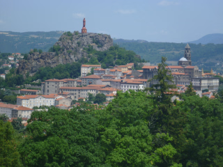
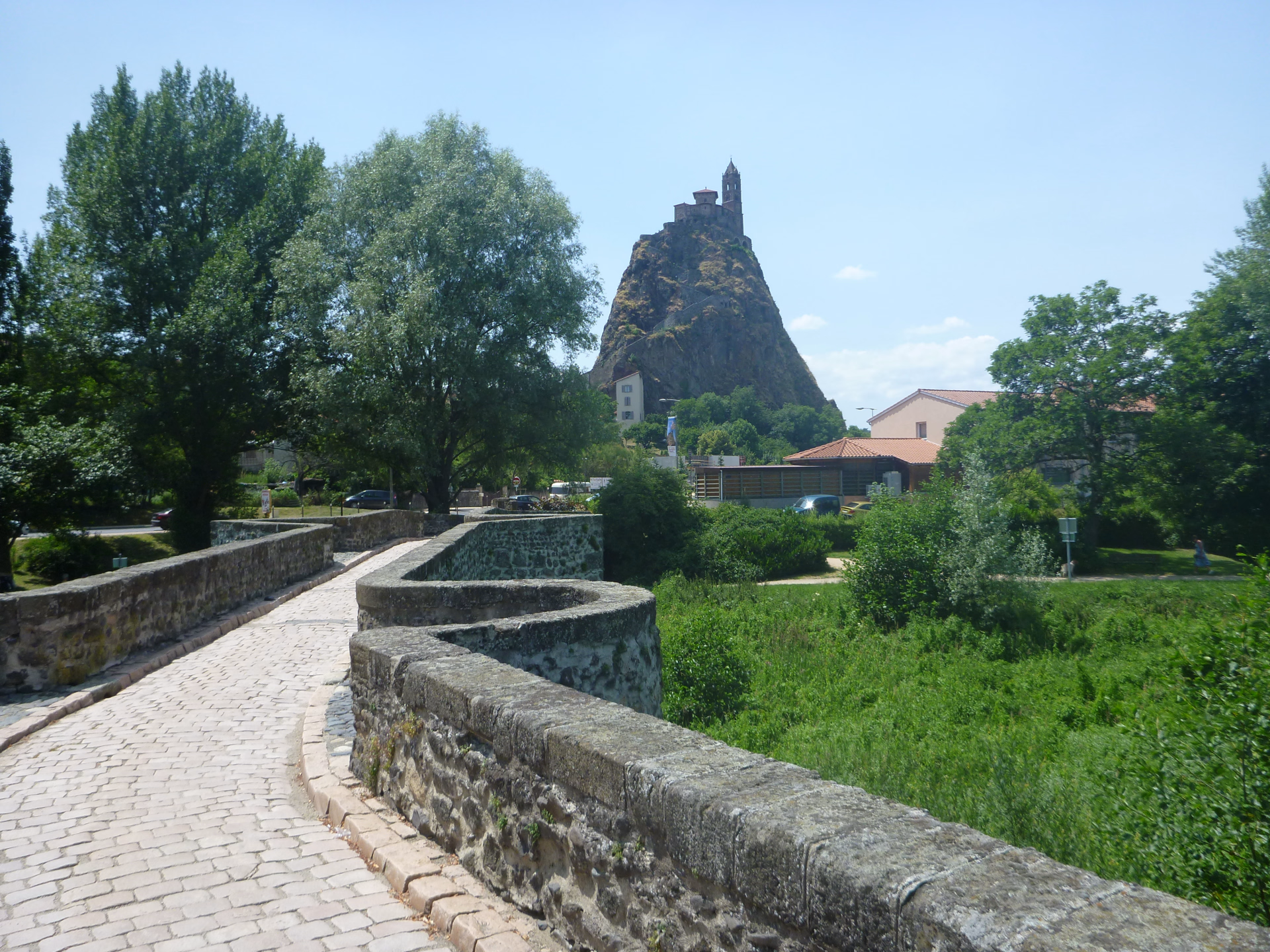
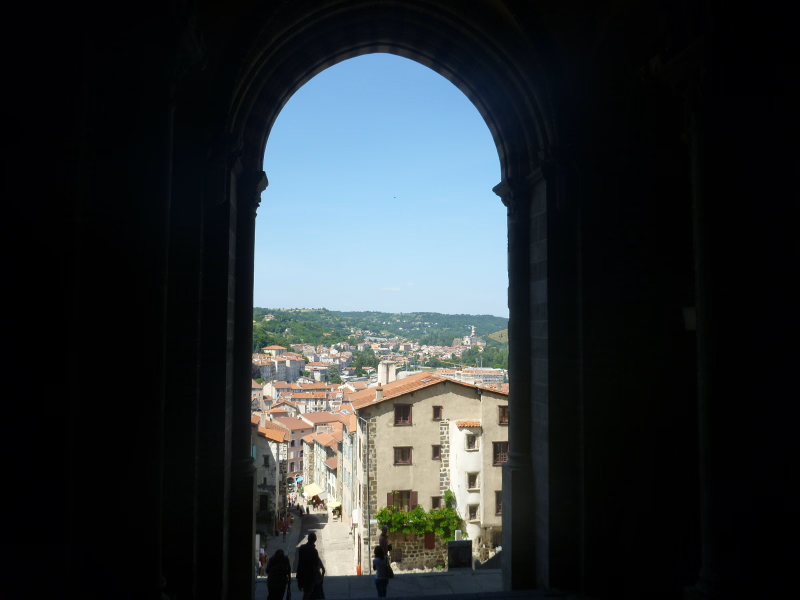
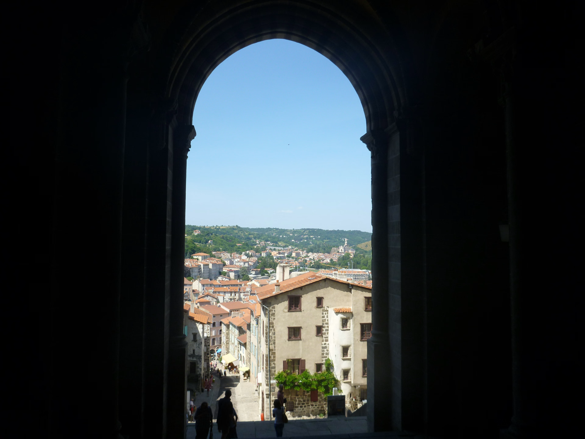
You finish with another long stage. You can shorten it by taking the train from Vorey-sur-Arzon to Lavoûte-sur-Loire (-11 km, -2 hours 30 minutes). In Lavoûte-sur-Loire, the path rejoins the river, which forms a magnificent loop. Within this loop, the Château de Lavoûte-Polignac stands on its rocky promontory. The route then crosses the Emblavez basin, covered with fields, meadows, and hamlets, and reaches the spectacular Château de Polignac (that family again), perched on its rocky outcrop. The last section of the path leads to Le Puy-en-Velay, the "City of the Virgin," and the starting point of the Via Podiensis. A visit is a must, with its historic quarter and cathedral at its heart, a UNESCO World Heritage Site. The trip ends in the late afternoon.
Day 10
Note
On this section of the Camino de Santiago, accommodations are limited and small. Depending on closure days, the various possible accommodations at certain stages are often several kilometers apart. The stage lengths mentioned in this guide are based on typical locations along the route and are therefore only indicative. Once you have the complete itinerary, you will have all the information needed to recalculate the actual distance.
Accommodation
Access
Return train : Puy en Velay station. Return bus: Puy en Velay station. Return car: Lyon.
Go to the starting point
Lyon
Price details
The price includes
- Organization costs.
- Food and accommodation on a half-board basis (except for days 1 and 5 which are B&B).
- The provision of a complete hiking pack.
- The provision of the guidebook.
The price does not include
- Luggage transport
- The “solo supplement” if you are travelling alone
- Dinners on days 1 and 5.
- Lunchtime meals.
- Wine during meals.
- Drinks and personal expenses.
- Possible visits.
- Personal equipment.
- The journeys to and from the reception location.
- Cancellation insurance - Search and rescue costs - Repatriation assistance - Trip interruption insurance.
- Luggage transport at each stage.
- All options not included in the price
- Everything that is not listed under "The price includes".
Options
- Single room : CHF269.87 / person
- Luggage transfer for 1 person : CHF535.16 / person
- Luggage transfer for 2 to 3 people : CHF315.61 / person
- Luggage transfer for 4 or more people : CHF96.05 / person
- Additional night in Le Puy-en-Velay in a single room : CHF91.48 / person
- Additional night in Puy en Velay in a double room : CHF64.04 / person
- Deduction for the first night in Lyon : CHF-32.02 / person
- Taxi back : CHF329.33 / reservation
- Flex fare and insurance
Practical information
Specific formalities
Specifics
In the case of flights with stopovers operated by different airlines, also check the entry requirements of the countries you are transiting through.
It is your responsibility to ensure that you are in compliance, particularly regarding the validity of your identity documents (
For example, some countries require your passport to be valid for at least six months after your return date. Consider visa requirements, necessary vaccinations, and health recommendations. And don't forget to take into account any customs restrictions and other potential requirements of your destination or transit country.
ℹ️ Information may change up to the departure date, remember to regularly check official websites.
⚠️ For this stay, you must also bring your health insurance card.
Equipment
Equipment to bring
- 1 backpack of 35/40 litres with a flexible frame, equipped with a waist belt.
- A large plastic bag to protect the inside of the backpack.
- 1 pair of excellent quality sunglasses with side protection.
- A water bottle (1.5 liters minimum).
- 1 Opinel-type pocket knife.
- 1 small pouch (preferably waterproof) to put your money, identity card, health insurance card and assistance contract in.
- Toilet paper + 1 lighter to burn it.
- Sunscreen + lip balm.
- Airtight plastic container (minimum capacity 0.5 litre) + cup + cutlery.
- 1 survival blanket.
- Camera, binoculars (optional).
- A pair of poles is recommended.
Clothing to bring
For the upper body, the 3-layer principle allows you to manage almost all situations:
- A long-sleeved undershirt made of breathable material (hollow fiber).
- A warm fleece fur jacket.
- A windproof, waterproof and breathable Gore-Tex type jacket.
When hiking in calm, sunny weather, a base layer may be sufficient. In rain, snow, or wind, simply add a waterproof jacket. In very cold weather or during breaks, a fleece jacket is an essential addition.
Choose quick-drying clothes, so avoid cotton. Opt for wool (merino wool underwear is comfortable and doesn't develop unpleasant odors), silk, and synthetic fibers that will keep you dry and warm for as long as possible.
Remember to dress warmly before you get cold, but especially to remove layers before you get too hot. Sweat is a hiker's enemy, as it dampens clothing that quickly becomes icy during breaks. Therefore, it's very rare to undertake a climb wearing a fleece jacket.
The ideal list : (to be adapted according to the hike and the season)
- 1 sun hat or cap.
- 1 scarf or neck warmer.
- Short-sleeved T-shirts in breathable material preferred (1 for 2 to 3 days of walking).
- 1 long-sleeved undershirt in breathable material or a shirt.
- 1 fleece fur jacket.
- 1 windproof, waterproof and breathable Gore-Tex type jacket with hood.
- 1 rain cape or a bivvy bag if you own the jacket above.
- 1 pair of loose-fitting trekking trousers.
- 1 pair of shorts or bermudas.
- Hiking socks (1 pair for 2 to 3 days of hiking). Opt for wool or hiking-specific socks. Be careful with cotton as it can cause blisters.
- 1 pair of high-top hiking boots with good ankle support and waterproof soles (Vibram type). Remember to test new shoes and those that haven't been used for a long time beforehand.
- Underwear.
- At the beginning and end of the season (May - June and September - October), it may be useful to also have gaiters, gloves and a hat.