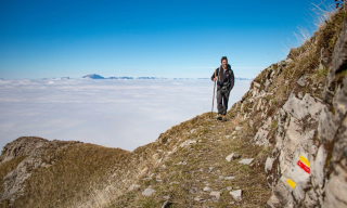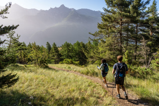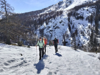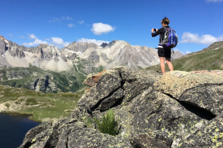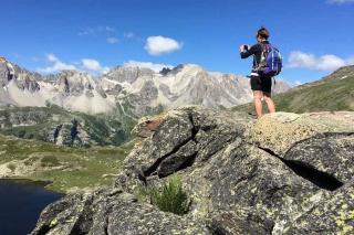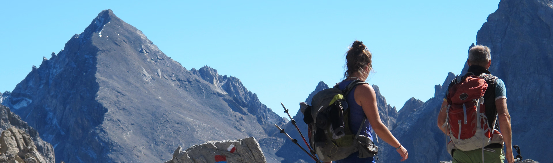
The great crossing of the Alps on a trek from Briançon to Nice via the GR5
In summary
-
Sports
-
Duration11 days
-
LevelAdvance
-
DestinationBriançon / Écrins Massif
-
AgeFrom 16 - 90 years
-
CO₂-Emissions95.93 kg CO2
-
Type of stayIndependent traveler
In a few words
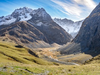
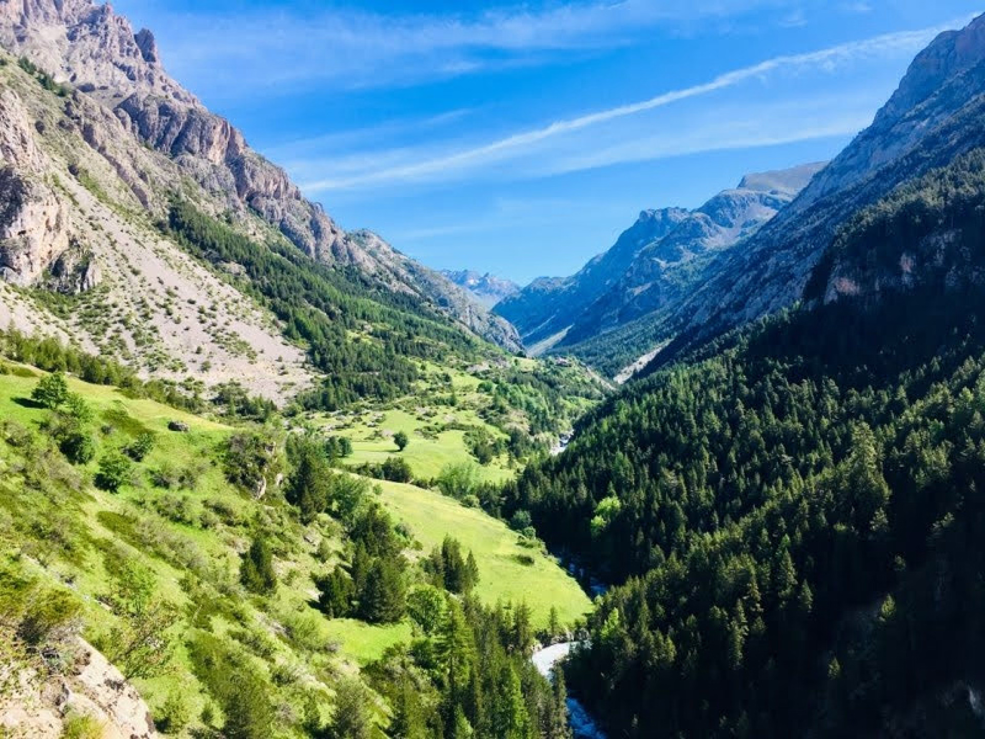
Discover an exceptional journey from the mountains to the sea with this crossing of the Alps! This magnificent trek from Briançon to Nice combines Alpine and Provençal charm . During this 11-day expedition, you will explore diverse environments, from the Briançonnais region to the Mercantour National Park , passing through the stunning landscapes of the Queyras , the beautiful Ubaye Valley , the upper Tinée and Vésubie valleys , and finally to the picturesque Provençal villages clinging to the mountainsides. From the Alps to the French Riviera, the GR5 long -distance hiking trail will be the guiding thread of your trek. Completely self-supported, each day offers new discoveries and breathtaking views. Don't miss this essential circuit for hiking enthusiasts !
The highlights
-
The Great Crossing of the Alps in Self-Sufficiency
-
Exploring the Queyras Regional Natural Park and the Ecrins National Park
-
The famous GR5 trail as a common thread
Photos
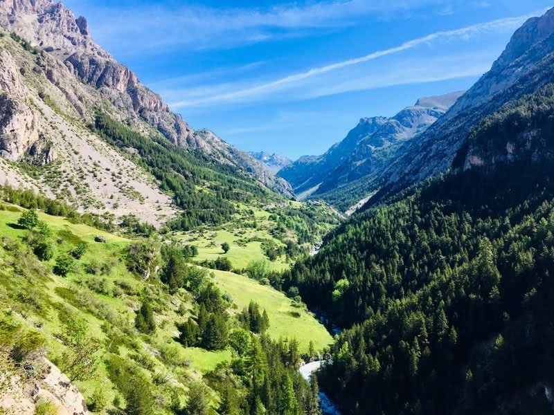
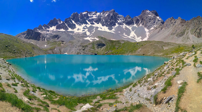
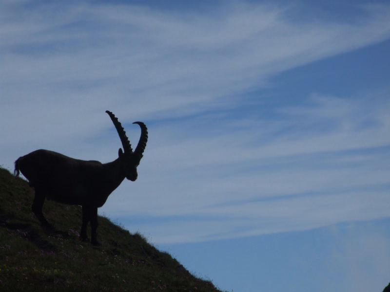
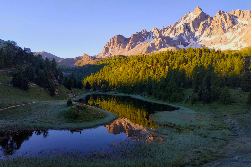
Sport
Level
Hiking / Trekking
The expert's opinion
The hikes offered take place on mountain trails with elevation gains and losses of 700 to 1200 meters, without any particular technical difficulties. Expect approximately 6 to 7 hours of walking per day. This trip is ideal if you are already an experienced hiker and comfortable with level 3 terrain.
Well-marked trails with some rocky sections at higher altitudes. Early in the season, snow patches may persist on high passes.
The level corresponds to an average cumulative elevation gain over the entire week. We also use other factors such as luggage carrying, commitment, network availability, and terrain type to refine the level.
Regarding the calculation of the elevation gain, this is either based on a field survey or a calculation using a computer model. The calculation takes into account all variations in terrain, both uphill and downhill, and not just the difference in altitude between two points!
If you take your own measurements, it's not uncommon to find discrepancies with our description. The average difference can be up to 10%, especially in flat areas with little significant elevation change, and in steep areas with significant elevation changes (ravines, cliffs). It's also important to know that discrepancies can occur between different field tools: watches, phone apps, and GPS devices almost never give the same result.
In figures
Hiking
- Average duration/day: 7h
- Average daily elevation gain: 1089 m
- Average daily descent: 1215 m
Management
The mobile app provided works in airplane mode, allowing you to track your route and send alerts if needed (by disabling airplane mode). It also displays your GPS coordinates. We pride ourselves on providing clear and accurate information so you can plan your hike with confidence.
Follow well-maintained marked trails for a worry-free experience.
Program
-
Briançon - Col des Ayes (2,477 m) - La Chalp d'Arvieux (1,685 m)
- Activity Hiking
- Duration of the activity 7h45
- Positive elevation gain 1261 m
- Negative elevation 788 m
- Accommodation Cottage
- Breakfast not included
- Lunch not included
- Dinner included
The GR trail passes near Briançon train station; join it 50 meters away and follow it towards Pont de Cervières and Villard-Saint-Pancrace. The beautiful Ayes valley, with its numerous alpine chalets, leads to the first pass on this journey towards the sea. You leave the Briançonnais region and enter the Queyras. A very pleasant descent leads to the Arvieux valley at 1,870 meters.
Good to know: there's over 1,250 meters of elevation gain and nearly 8 hours of walking on the first day alone. If you arrive by train that morning, leave the station by 10:00 AM at the latest.
Day 1 -
La Chalp d'Arvieux (1,685 m) - Ville-Vieille (1,380 m) - Ceillac (1,640 m)
- Activity Hiking
- Duration of the activity 7h30
- Positive elevation gain 1305 m
- Negative elevation 1335 m
- Accommodation Cottage
- Breakfast included
- Lunch not included
- Dinner included
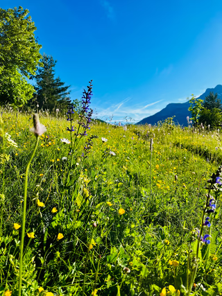
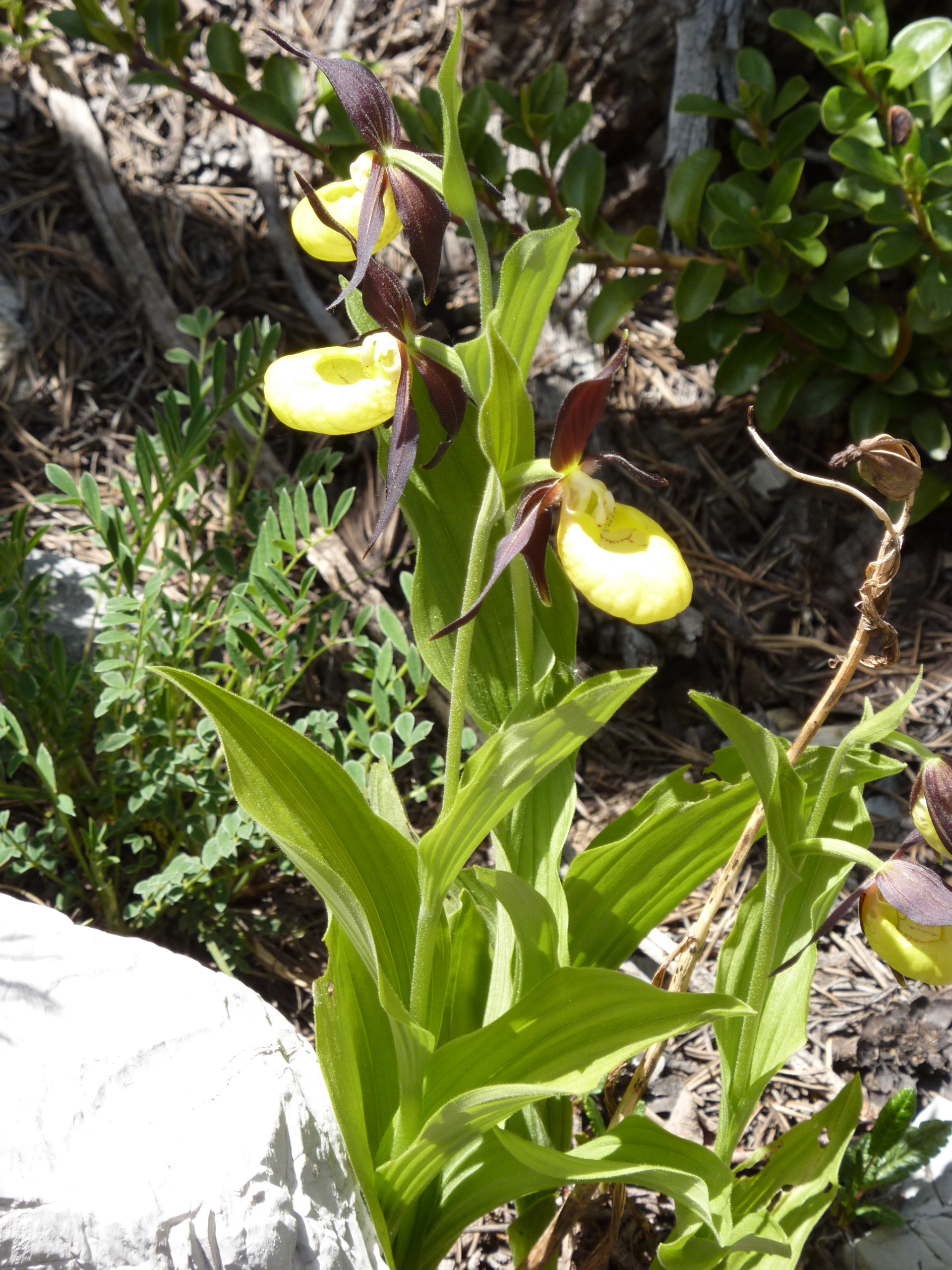
Today, the main route takes you to a lake with a Canadian feel and a small mountain hamlet. This mountain is the alpine pasture, an ideal summer grazing ground for flocks of sheep. Descend into the Guil Valley to reach Fort Queyras, a true stronghold of the King's army under Louis XIV. Before reaching the valley, keep your eyes peeled. You'll discover an endemic flower: the Foxtail Milk-vetch (Astragalus 'Tail'). Then, the GR trail climbs again: fragrant pine forest, cool larch woods, pretty flowery clearings, and the gentle clanging of cowbells lead you to the Prés Fromage alpine pastures. Next, you'll pass at the foot of Ruine Blanche, composed of dazzling white gypsum, somewhat reminiscent of Cappadocia. Crossing the Col Fromage pass at 2,301 meters allows you to gradually discover, with a panoramic view, the Font Sancte mountain range and the Ceillac plain, a delight for photography enthusiasts.
Day 2 -
Ceillac (1,640 m) - Lac Miroir (2,214 m) - Lac Sainte Anne (2,415 m) - Maljasset (1,900 m)
- Activity Hiking
- Duration of the activity 7h
- Positive elevation gain 1118 m
- Negative elevation 880 m
- Accommodation Cottage
- Breakfast included
- Lunch not included
- Dinner included
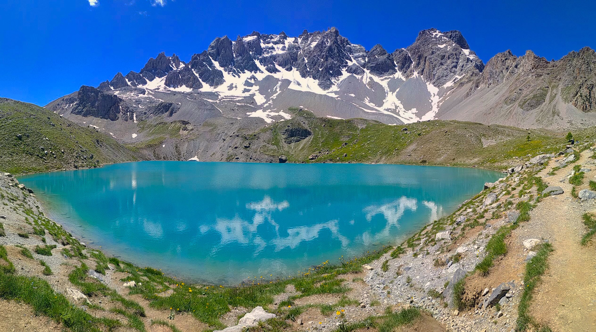
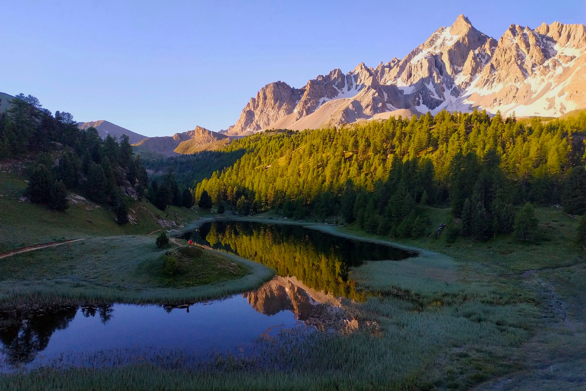
From Ceillac, you'll discover two high-altitude lakes: Lac Miroir, nestled in alpine pastures near a beautiful forest, and Lac Sainte Anne, at the foot of the Font Sancte massif at 3,385 meters. A short climb leads to the Col Girardin, the "border" with the upper Ubaye valley. A pleasant descent on the south-facing slope then takes you to the hamlet of Maljasset.
In the evening, or the following morning depending on the accommodation, a taxi will take you to Fouillouse (included in the price).
Night in Maljasset or Fouillouse.
Day 3 -
Fouillouse - Col du Vallonnet (2,524 m) - Larche (1,660 m)
- Activity Hiking
- Duration of the activity 6h30
- Positive elevation gain 890 m
- Negative elevation 1061 m
- Accommodation Cottage
- Breakfast included
- Lunch not included
- Dinner included
If you didn't stay overnight, a short transfer is available from Maljasset to Fouillouse, at the foot of the Brec de Chambeyron (3,389 m). Hike to the Col du Vallonnet. A beautiful, wild valley leads to the Col de Mallemort (2,558 m). From there, you'll discover the wartime remains—barracks and a fort—that overlook the valley. After crossing a second pass, descend to the village of Larche.
Day 4 -
Larche - Lac du Lauzanier (2,285 m) - Pas de la Cavale (2,671 m) - Bousiéyas (1,883 m)
- Activity Hiking
- Duration of the activity 7h30
- Positive elevation gain 1236 m
- Negative elevation 1034 m
- Breakfast included
- Lunch not included
- Dinner included
A beautiful path leads through the small Ubayette valley to Lake Lauzanier (2,285 m) before tackling the final, very steep and rocky slope of the Pas de la Cavale (2,675 m). A short descent through alpine pastures precedes the brief climb to the Col des Fourches (2,262 m). A 45-minute descent brings you to Bousieyas.
Day 5 -
Bousiéyas - Col d'Anelle (1,739 m) - Saint-Étienne-de-Tinée (1,160 m) - Roya
- Activity Hiking
- Duration of the activity 7h
- Positive elevation gain 835 m
- Negative elevation 1515 m
- Accommodation Cottage
- Breakfast included
- Lunch not included
- Dinner included
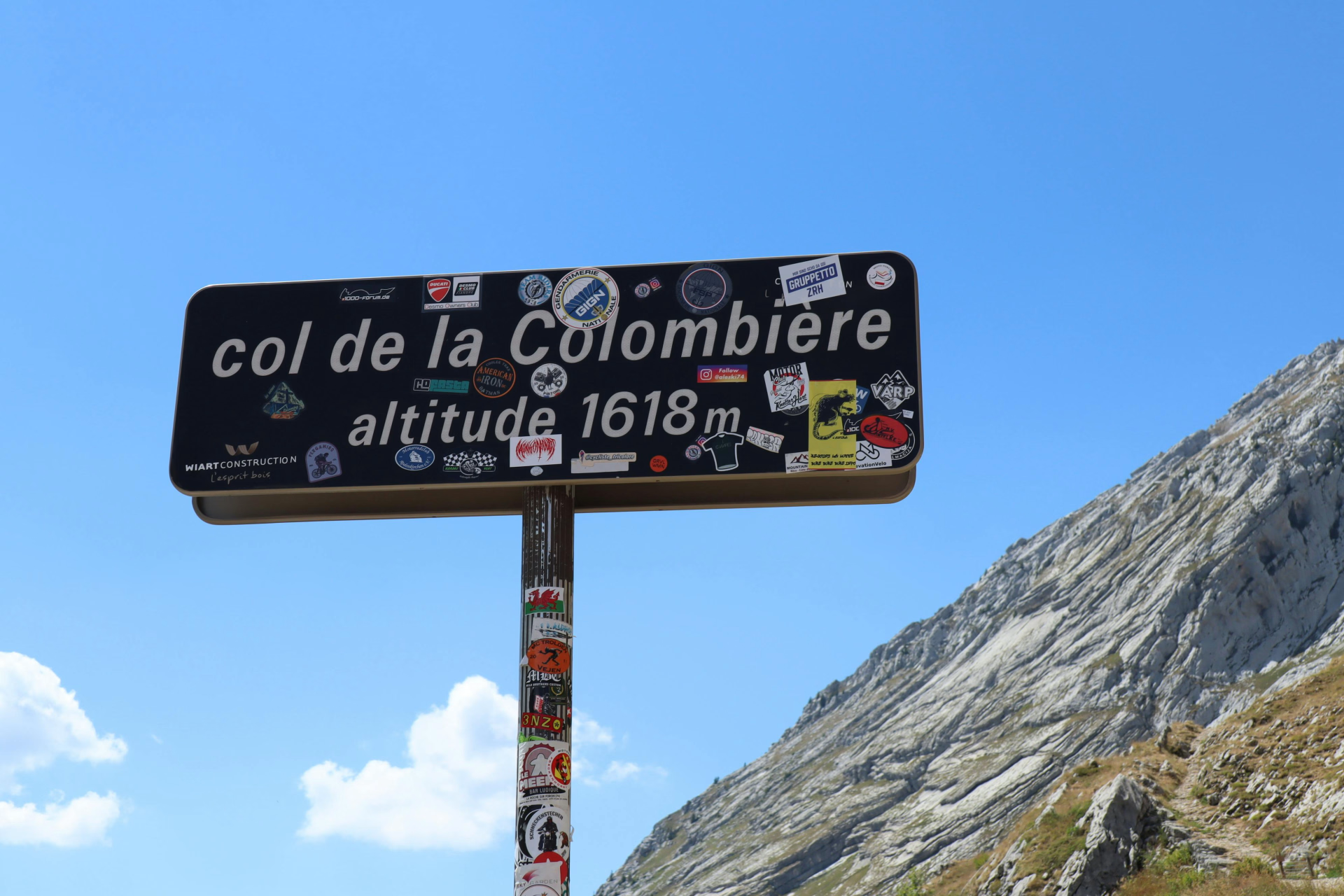
The trail crosses the small road and traverses the alpine pastures of the Col de la Colombière. An alternative out-and-back route is possible to the Tête de Vinaigre (2,394 m). Descend to the village of Saint-Dalmas-le-Selvage. In less than an hour, you can climb back up to the Col d'Anelle and then descend again towards Saint-Étienne-de-Tinée.
At the end of the day, a taxi takes you to the hamlet of Roya, the starting point for the next day's stage.
Day 6 -
Roya - Col de Crousette (2,480 m) - Refuge Longon (1,890 m)
- Activity Hiking
- Duration of the activity 6h30
- Positive elevation gain 1429 m
- Negative elevation 984 m
- Accommodation Cottage
- Breakfast included
- Lunch not included
- Dinner included
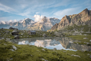
Crossing the alpine pastures, you reach the Crousette pass. A beautiful traverse along the ridge leads to the Moulines pass. You will stop overnight at the Longon refuge (dormitory).
Day 7 -
Refuge Longon (1890 m) - Roubion (1,350 m) - Saint Dalmas Valdeblore (1,050 m)
- Activity Hiking
- Duration of the activity 8h
- Positive elevation gain 1243 m
- Negative elevation 1880 m
- Accommodation Cottage
- Breakfast included
- Lunch not included
- Dinner included
Return to the valley via the perched villages of the Nice hinterland. You descend to Roubion, then to Saint-Sauveur-sur-Tinée, at the bottom of the valley, before climbing back up via Rimplas, La Bolline and La Roche to Saint-Dalmas-de-Valdeblore.
Day 8 -
Valdeblore - Mont Tournairet (2086 m) - Brec d'Utelle (1604 m) - Utelle (850 m)
- Activity Hiking
- Duration of the activity 9h30
- Positive elevation gain 1245 m
- Negative elevation 1764 m
- Accommodation Cottage
- Breakfast included
- Lunch not included
- Dinner included
Plan an early morning departure for this long trek to Utelle! A beautiful climb takes you to the Col de Caire Cros. Then, a traverse leads to Mont Tournairet. A short descent takes you to Les Granges e la Brasque before a brief climb to the Col d'Andriani. A zigzagging path then follows the entire ridge of the Utelle mountain before descending to the charming hillside village. Overnight stay at the communal gîte (simple overnight option). For meals, there's an inn in the village or a small grocery store.
It is possible to shorten and modify this step:
• 1-day extension, with overnight stay at Les Granges de La Brasque, located at the end of the first third of the route, approximately 3 to 4 hours of walking if you decide to follow the ridge rather than the path (optional, price to be confirmed upon registration)
• At your own expense, you can take the regular bus line to reach Le Suquet from Valdeblore. This will leave you with a 5-hour walk and 500m of elevation gain.
Overnight stay in Utelle, at the communal gîte, overnight only: dinner at the village inn or shopping at the grocery store
Day 9 -
Utelle - Crête de la Madonne (1185 m) - Levens (550 m)
- Activity Hiking
- Duration of the activity 5h
- Positive elevation gain 749 m
- Negative elevation 995 m
- Accommodation Cottage
- Breakfast included
- Lunch not included
- Dinner included
A beautiful traverse of the mountain range above the Vésubie valley. The GR variant towards the ridge (orientation table) and the Toasquet valley is well worth the detour. Then, a lovely balcony overlooking the Vésubie, which you cross at Pont du Cros. Next, a short climb to Levens, today's destination. Leave the GR to explore this charming hilltop village. Comfortable overnight stay in a hotel.
Day 10 -
Levens - Aspremont (489 m) - Gairaut (end of the GR5 waymarking) then bus to Nice
- Activity Hiking
- Duration of the activity 6h
- Positive elevation gain 666 m
- Negative elevation 1127 m
- Breakfast included
- Lunch not included
- Dinner not included
A beautiful trail leads to Sainte Claire, followed by an ascent of the wooded ridge of Mont Cima, offering magnificent views of the Maritime Alps. The descent continues towards Aspremont with its concentric lanes, then a short climb up to Mont Chauve (an alternative route is possible, adding 1 hour 30 minutes). A final gentle descent takes you to Gairaud, the end of this journey through the Alps!
All you have to do is take the bus (at your own expense) to reach the sea and enjoy a well-deserved swim!
End of stay in Nice.
Day 11
Note
Depending on the weather, late spring snow conditions, potential overbooking of accommodations, or any other reasons beyond our control, we may exceptionally need to modify this program. Our local presence allows us to best address these constraints without compromising the enjoyment of your stay.
Please note that once you have started your hike you must follow the program indicated and no changes to accommodation can be made.
When is the best time to go hiking on the GR5?
Each season offers a unique experience:
• June: snow still present on some passes, striking contrast between green valleys and white peaks.
• July: flowery landscapes and more stable weather, moderate visitor numbers.
• August: high season, remember to book your accommodations as early as winter.
• September: soft light and renewed tranquility. After mid-September, some accommodations close, limiting free movement.
Accommodation
Dormitory-style accommodation: You will sleep in a shared room in a hostel for most of your stay and:
- Day 7: Night at the Longon refuge in a dormitory
- Day 9: Overnight stay in a communal gîte (rural hostel), basic comfort in a small hiker dormitory. The manager tries to separate hikers as much as possible. A kitchen is available at the gîte.
- Day 10: Night in a 2* hotel , in a double room (1 double bed) or twin room (2 single beds)
Double room option:
- In the cottage on nights 1, 2, 3, 5, 6 and 8 (bathroom facilities on the landing, sheets and towels not provided),
- Day 9: Overnight stay in a communal gîte (rural hostel), basic comfort in a small hiker dormitory. The manager tries to separate hikers as much as possible. A kitchen is available at the gîte.
- In a hostel or hotel on nights 4 and 10 (private bathroom and WC, sheets and towels provided).
- Night 7 is spent at the Longon refuge, in a dormitory.
Are you three, or an odd number? We try to group you in the same room; this is not possible everywhere, and we can offer you a double room and a single room, with a supplement.
Access
WELCOME
• With the luggage option: you must arrive the day before. Go to your hotel in Briançon at the end of the day, which will keep your luggage for the carrier: no hotel will accept the luggage of someone who has not stayed there.
• Without the luggage option: you can arrive the same morning. Leave the station by 10 a.m. at the latest, with your bag on your back: the first stage involves nearly 8 hours of walking.
DISPERSION
End of stay in Nice, on day 11, late afternoon: a regular bus connects Gairaut, end of the GR5, to Nice-Ville station several times a day (at your own expense).
• With the luggage option: book an overnight stay in Nice at accommodation that can receive your luggage, with on-site assistance. Rentals without on-site assistance are not available, nor is accommodation in Old Nice, which is inaccessible by taxi in the summer. The luggage delivery time cannot be guaranteed in advance.
• Return to Briançon: From Nice, take the train to Marseille, then a TER regional train or Zou! bus to Briançon. You can also rent a car from Nice to Gap, then take the train from Gap to Briançon.
• You can also leave your car in Nice at the beginning of your stay (many paid and monitored car parks near the train station) and travel to Briançon by train.
Good to know: with a 6-hour hike and the bus ride to Nice, returning by train the same day is tight. The most relaxed option is to plan an overnight stay in Nice.
Before buying your return tickets, give us your times at the time of booking: we check with you that everything flows smoothly.
Go to the starting point
Station: Briançon.
• By daytime train: TGV or Intercités to Valence or Marseille, then TER. Timetables are available on SNCF Connect. Occasionally, track work may necessitate a replacement bus service: please check your travel dates.
• By night train from Paris: arrival in Briançon around 8:30 am. This is possible without the luggage option, if you go for a walk right away.
• Train delayed? Once in Briançon, no transfer can get you ahead on the stage. If you realize you'll arrive too late, get off at Montdauphin-Guillestre instead: a transfer to Brunissard will allow you to complete the first stage in a loop. (Transfer at your own expense) Call us: we'll make arrangements for you.
Aim for Briançon
• Grenoble: approximately 2 hours via the Lautaret pass, without tolls.
• Marseille: approximately 3 hours 30 minutes via the A51 and Gap, toll of approximately €15.
• Lyon: 3h30 to 4h, toll of approximately €28.
• Paris: approximately 8 hours.
Times and tolls are indicative.
To avoid: Italy via the Fréjus tunnel, which some GPS systems suggest (expensive tunnel and mandatory motorway).
Before leaving, check road conditions and roadworks on inforoute05.fr.
Parking in Briançon
• The small parking lot at the train station, often full.
• The car park located opposite the station, which is lit.
• The underground and monitored car parks of Val Chancel (near the barracks) and Prorel (near the cable car), about 3 km from the station: municipal management at 04 92 20 59 88. The station is a 20 minute walk away; you can also take the urban bus (TUB, 04 92 20 47 10) or a taxi.
You can also leave your car on arrival and travel to Briançon by train at the beginning of your stay (see the Dispersion section).
Price details
The price includes
- Half-board accommodation in a gîte (shared room) and refuge (dormitory) or double room from the evening of Day 1 to breakfast on Day 12, except for Day 9 in Utelle (single night)
- The hiking file as described in the program
- Taxi transfers on days 3 (or 4) and 6
The price does not include
- Lunchtime picnics
- Luggage transfers (optional)
- The bus transfer from Gairaut, the end of the GR5, to Nice SNCF train station
- The return transfer to your vehicle
- Personal expenses
- The solo supplement if you are travelling alone (including organisation fees for one person as well as mandatory taxi transfers)
- The single room supplement applies if you are travelling alone and choose the room option.
- Insurance
- Everything not included in the price
Options
- Luggage transfer : CHF1’459.11 / reservation
- Supplement for 1 mandatory participant : CHF361.35 / unit
- Single room supplement - room package : CHF0.00 / unit
- 1-night extension at Les Granges de la Brasques : CHF0.00 / unit
- Custom IGN map : CHF22.87 / unit
- Paper travel journal : CHF0.00 / unit
- Flex fare and insurance
Practical information
Specific formalities
Specifics
In the case of flights with stopovers operated by different airlines, also check the entry requirements of the countries you are transiting through.
It is your responsibility to ensure that you are in compliance, particularly regarding the validity of your identity documents (
For example, some countries require your passport to be valid for at least six months after your return date. Consider visa requirements, necessary vaccinations, and health recommendations. And don't forget to take into account any customs restrictions and other potential requirements of your destination or transit country.
ℹ️ Information may change up to the departure date, remember to regularly check official websites.
⚠️ You must also bring your health insurance card or mutual insurance certificate.
Equipment
Equipment provided on site
Your hiking pack includes the following items:
- The route descriptions include a simplified day-by-day description of the circuit.
- A 1:25,000 map extract in A5 format covering your route (available for a fee upon request)
- Sending the GPS track in *gpx format (Format compatible with all types of GPS or smartphones)
- The "vouchers" or exchange vouchers that you will need to give to the various service providers (accommodation providers, taxis, etc.)
- GPX tracks of the route ( to be requested in the "special requests" section of the options page during your online booking )
Equipment to bring
- Sleeping bag sheets
- Hiking boots (waterproof, with a high-top design and a grippy sole)
- Light shoes or sandals
- Telescopic hiking poles
- Toiletry bag
- Bath towel
- Sunscreen cream (face and lips)
- Mosquito repellent cream or spray
- Headlamp, with spare batteries and bulbs
- A lightweight, insulated water bottle with a minimum capacity of 1.5L
- Pocket knife (preferably multi-purpose)
- Earplugs
- 30/35 L backpack with waist belt
- Small airtight plastic container, cup, knife and fork for picnics
- Race supplies to replenish energy along the way
- Emergency survival blanket
- Toilet paper in a resealable bag to wrap it up and throw it in the nearest available bin
Clothing to bring
- Cap or hat
- Scarf or buff
- T-shirts (made of quick-drying technical fabric)
- Lightweight fleece or equivalent
- Warm fleece or equivalent
- Waterproof, breathable, windproof jacket with Gore-Tex hood
- Rain cape
- Walking trousers (ideally with detachable legs)
- Shorts
- Walking socks
- Swimsuit
- Gloves
- Cap