Corsica
Self-guided trek on the GR20 North between Vizzavona and Calenzana
Réf : HFSUGV
In summary
-
Sports
-
Duration9 days
-
LevelAdvance
-
DestinationFrance / Corsica
-
AgeFrom 18 - 90 years
-
CO₂-Emissions28.24 kg CO2
-
Type of stayIndependent traveler
In a few words
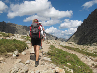
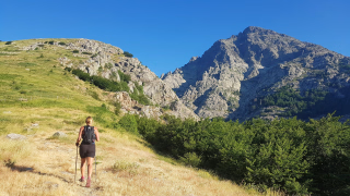
The GR20 , known locally as fra li Monti , is a legendary route that crosses Corsica from north to south through a rugged and unspoiled mountain landscape. Approximately 180 km long with nearly 12,000 m of elevation gain , it is renowned as the most demanding GR trail in Europe , due to its rocky terrain, technical sections , and sustained climbs .
This route can be traveled in either direction , offering different experiences depending on the chosen orientation. The complete crossing takes approximately 15 days , but it is also possible to enjoy a shorter adventure by focusing on one of its two main sections.
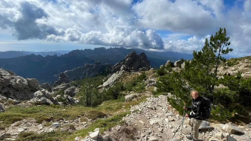
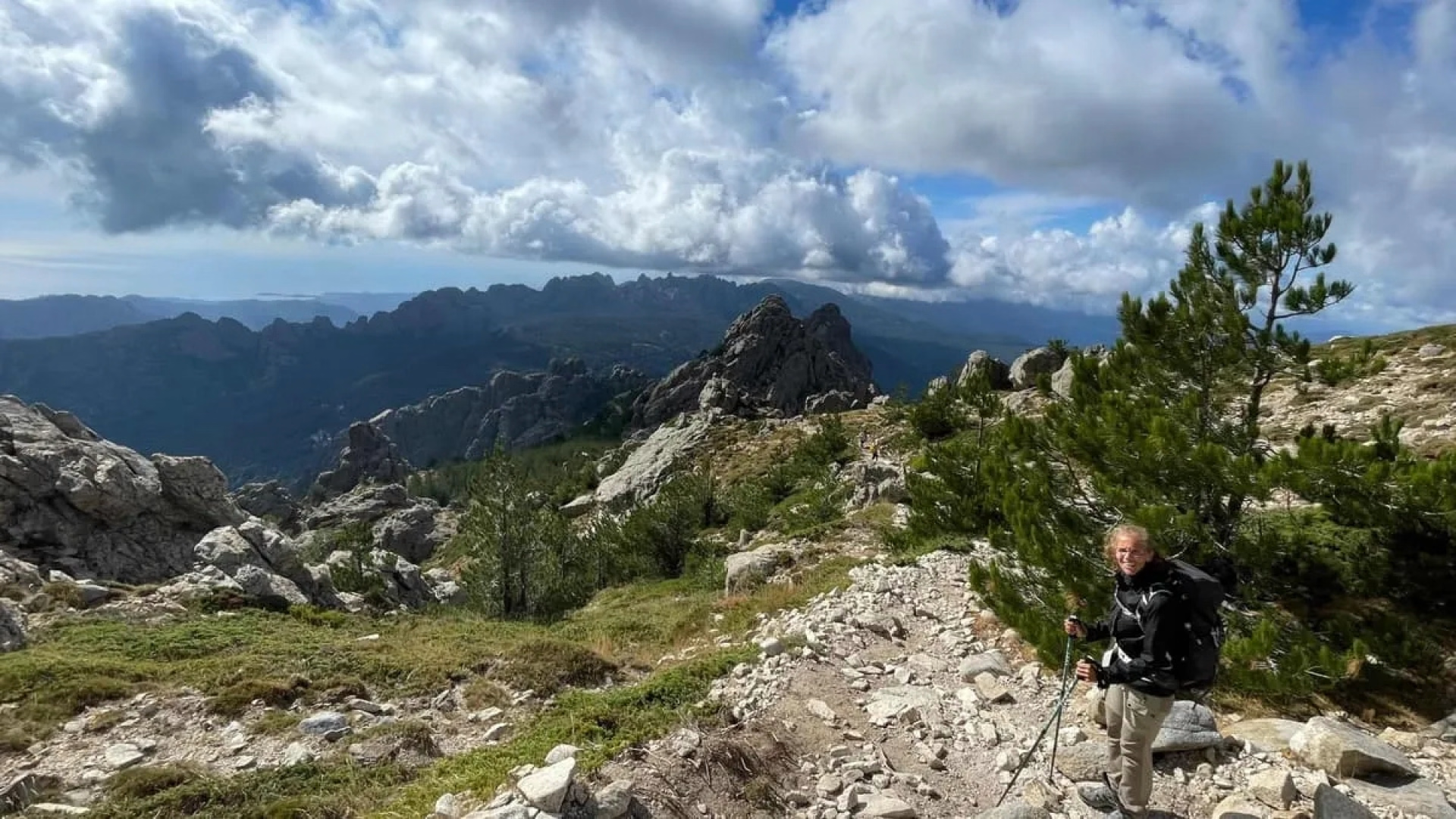
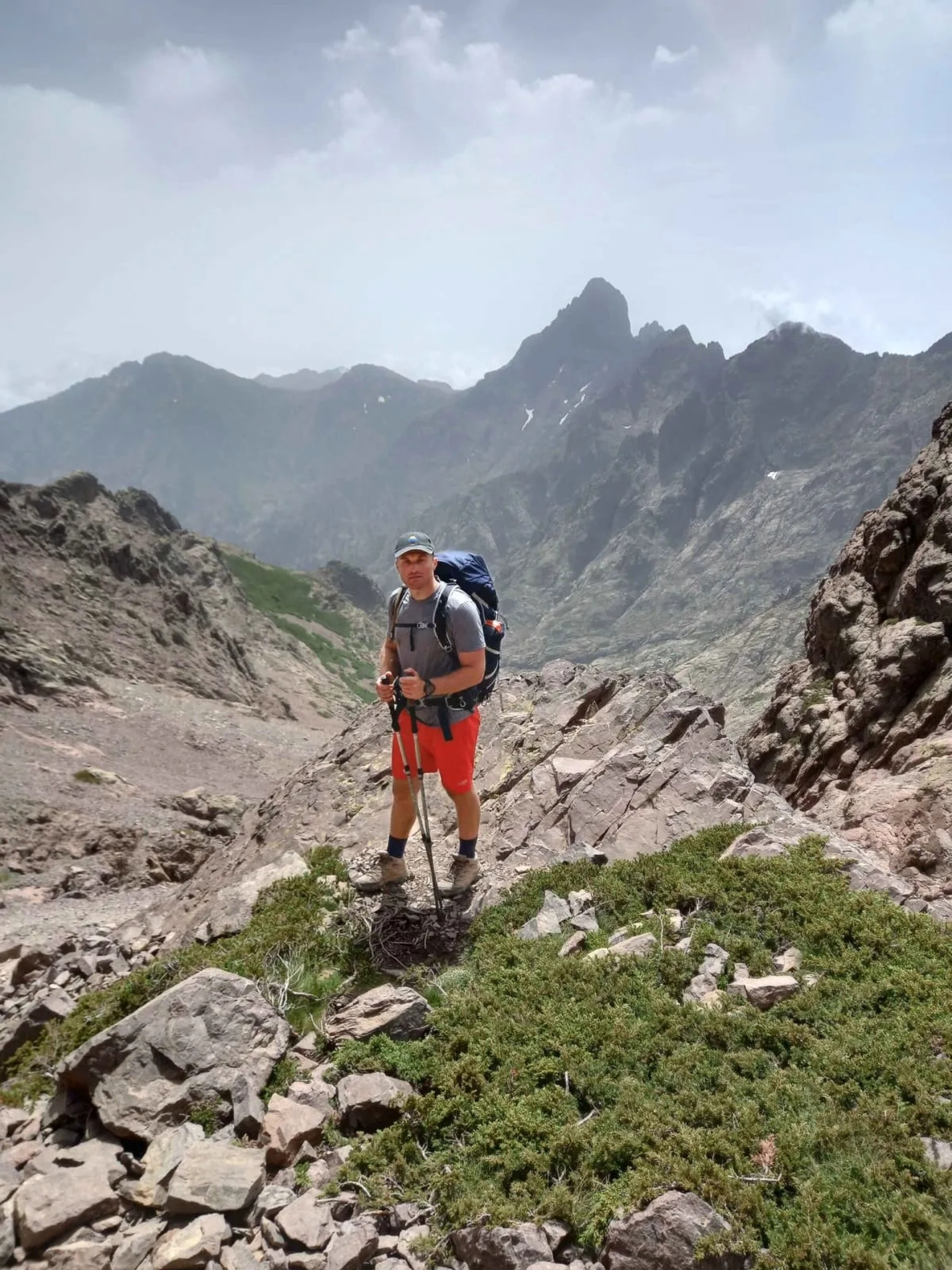
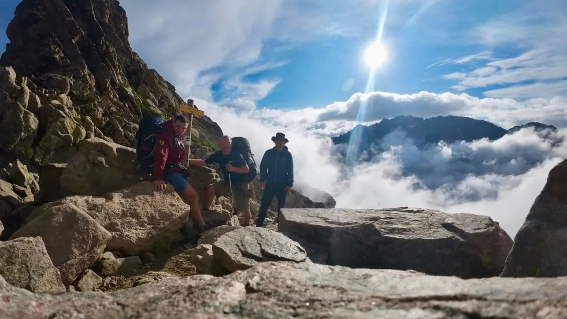
The northern section , usually completed in 9 days , connects Vizzavona to Calenzana (or vice versa). This is the most alpine and spectacular section of the GR20, with steep landscapes, exposed ridges, and physically demanding stages. Highly popular with experienced hikers, it encapsulates the very essence of the GR20: an intense challenge in the heart of a wild mountain environment , reserved for walkers with excellent physical condition and sure footing .
The highlights
-
The most alpine section of the GR20, in the heart of a rugged and wild Corsican mountain.
-
9 days of intense adventure amidst spectacular landscapes and mountain refuges
-
A legendary hike reserved for experienced walkers in excellent physical condition.
Subscriber benefit
save 5%
by joining
our community
Decathlon Travel Benefits
Best price guaranteed:
We offer twice the difference
Free cancellation more than 30 days in advance
Payment in 2 installments
Learn more
Photos
Sport
Level
Hiking / Trekking
For those wishing to undertake multi-day hikes involving over 6 hours of walking and an elevation gain of 700 to 1,200 meters, off-trail or over rugged terrain. High-altitude sections are possible. You engage in endurance sports several times a week, hike regularly, and are in excellent physical condition.
The expert's opinion
Enjoy a fully independent stay: you will have access to an emergency number, reachable only between 9am and 7pm.
In figures
Trekking
- Average duration/day: 5h
- Average distance/day: 11 km
- Average daily elevation gain: 669 m
- Average daily descent: 836 m
Management
The digital roadbook is your travel companion.
Digital Roadbook
Digital Roadbook
You will receive access to our trekking app, which serves as a complete digital travel guide for the GR20. Inside, you will find everything you need for your trek: route descriptions, hiking maps, navigation support, payment information, and all the key details specific to your trip.
Program
-
Vizzavona - Onda Refuge
- Activity Trekking
- Duration of the activity 6h
- Distance 11 km
- Positive elevation gain 1130 m
- Negative elevation 670 m
- Accommodation Refuge
- Breakfast not included
- Lunch not included
- Dinner not included
The walk begins in the forests around Vizzavona, climbing towards the granite ridges below Monte d'Oro. After an easy start along the river, the path becomes steeper, passing waterfalls and old sheepfolds on the way to a high ridge offering panoramic views of central Corsica.
From there, the trail enters a dense forest of beech and pine, following a well-defined path up the Agnone Valley. It passes the Cascades des Anglais (English Waterfalls), where water cascades down smooth slabs to form inviting pools. Beyond the waterfalls, the climb becomes steeper and more demanding. It ascends in switchbacks through the Pointe Muratello (2,138 m) towards a rockier mountainside, offering increasingly impressive views of Monte d'Oro (2,389 m).
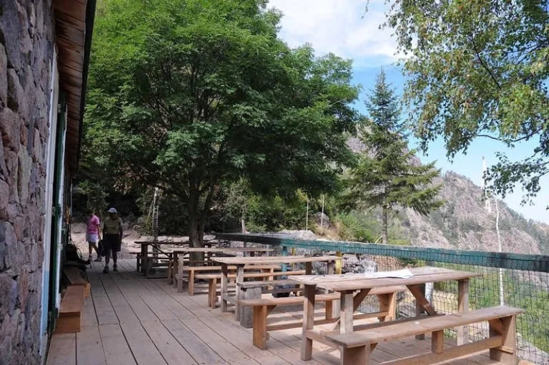
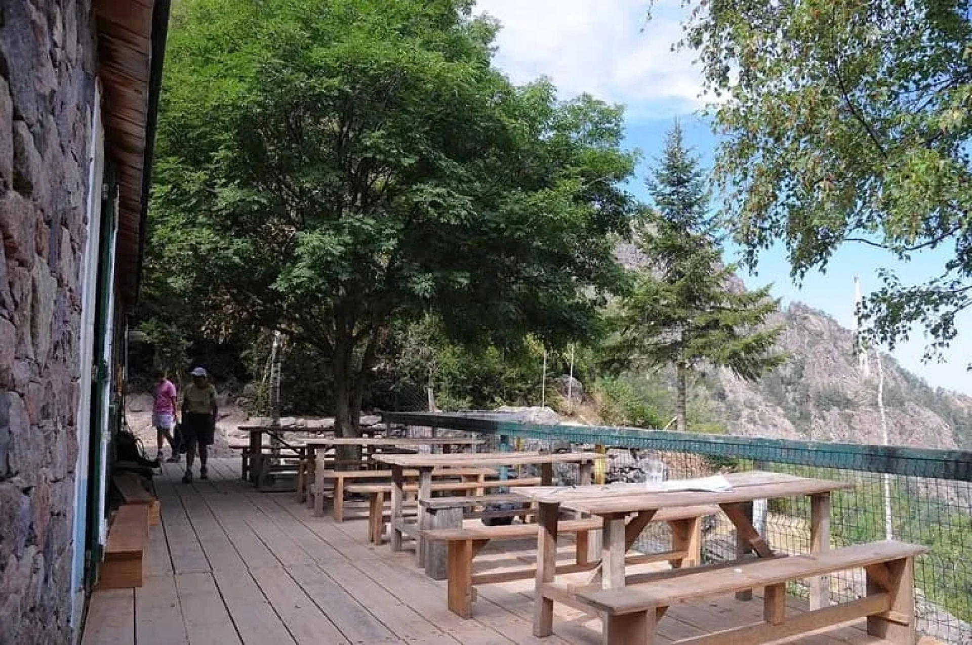
The trail then leaves the ridge, traversing above a wide grassy basin before descending through rocky terrain. The Refuge de l'Onda appears on a hill, surrounded by stone walls, grazing animals, and the surrounding mountain peaks. Upon arrival, you can relax on the terrace and enjoy the evening light as it fades from the ridge.
Day 1 -
Onda Refuge - Pietra Piana Refuge
- Activity Trekking
- Duration of the activity 4h30
- Distance 10 km
- Positive elevation gain 850 m
- Negative elevation 450 m
- Accommodation Refuge
- Breakfast not included
- Lunch not included
- Dinner not included
This stage connects the pastoral valley surrounding the Refuge de l'Onda to the high cirque of Petra Piana. It begins with a descent through pine forests and granite slabs, leading to the isolated Manganellu valley, where the river has carved clear pools and waterfalls. This is followed by a long climb along the river upstream into increasingly alpine terrain, ending at a small stone refuge nestled beneath imposing peaks such as Monte Rotondo (2,622 m).
From the refuge, the trail descends along a rocky path, passing terraces and sheepfolds, and quickly enters a forest where it joins the Manganellu River. After crossing the bridge near the Tolla Sheepfold, the route turns upstream and alternates between shady woods and open slabs along the river. The waterfalls and natural pools offer the perfect opportunity for a short break!
Higher up, the trees become more sparse and the climb steeper, zigzagging through fields of boulders and small pines. The views open up as you ascend, revealing the surrounding ridges and turquoise pools far below. A final push up rough granite steps leads to a hanging pool, where the Petra Piana Refuge sits on a grassy plateau. Enjoy your stay in this spectacular mountain setting.
Day 2 -
Pietra Piana Refuge - Manganu Refuge
- Activity Trekking
- Duration of the activity 4h30
- Distance 8 km
- Positive elevation gain 540 m
- Negative elevation 760 m
- Accommodation Refuge
- Breakfast not included
- Lunch not included
- Dinner not included
This is one of the most spectacular days in the high mountains, taking you from the rocky cirque of Petra Piana to the open basin of Manganu. After a steady climb to a panoramic ridge, the path overlooks the Restonica Valley, offering breathtaking views of Monte Rotondo to your right and the glacial lakes below. A long descent through boulder fields and gentle wetlands then leads to the grassy plateau where the next refuge is located.
From there, a challenging path climbs over broken granite to Bocca Muzzella (2,210 m), the main ascent of the day, which offers superb views. The route then follows an airy ridge towards the Brèche de Capitello, undulating between passes such as the Col de Rinoso (2,170 m) and rocky knolls above the Rinoso, Capitello, and Melo lakes. This is one of the most impressive sections of the GR 20! Short, sometimes steep sections over slabs and scree alternate with easier traverses across grassy patches and past small lakes as you head west towards the Manganu basin.
Finally, the path descends more decisively, leaving the ridge and dropping into a wide depression filled with grass, streams, and peat bogs. Faint tracks then lead you across the damp ground to drier pastures dotted with granite boulders. The Manganu Refuge is situated on a small hill above the plains.
Day 3 -
Manganu Refuge - Ciottulu di i Mori Refuge
- Activity Trekking
- Duration of the activity 8h50
- Distance 24 km
- Positive elevation gain 700 m
- Negative elevation 1080 m
- Accommodation Refuge
- Breakfast not included
- Lunch not included
- Dinner not included
This long mountain traverse connects Manganu to the dramatic cirque nestled beneath the peaks of Paglia Orba (2,525 meters) and Capu Tafunatu (2,335 meters). Gentle slopes, expansive plateaus, and river valleys alternate with steeper ascents, ensuring a constant variety of terrain. Highlights include the wetlands around Lake Nino and the sculpted pools of the upper Golo River. The day concludes at a refuge spectacularly situated on a rocky spur overlooking the valley.
From there, the path climbs gradually through open terrain to reach Bocca a Reta (1,883 m), passing through Pianu di Campotile, which is dotted with old sheepfolds, bathing and resting areas, and the vast depression of Lake Nino, where horses and cows graze among the peat bogs and clear streams. A downhill traverse then leads through pozzines (small ponds) and into a sparse forest. Finally, the path joins a clearer trail that descends through pine trees via the Col de Saint-Pierre (1,450 m) to the road at Castelo di Vergio.
The final section traverses a rocky slope to reach the Ciottulu di i Mori Refuge, perched high above the river with cliffs and ridges all around. Here you'll find a simple dining room, water, and dormitories, as well as unforgettable sunset views of the surrounding peaks.
Day 4 -
Ciottulu di i Mori Refuge - Tighiettu Refuge
- Activity Trekking
- Duration of the activity 1h
- Distance 6 km
- Positive elevation gain 300 m
- Negative elevation 640 m
- Accommodation Refuge
- Breakfast not included
- Lunch not included
- Dinner not included
This shorter stage descends from the high perch of the previous refuge into the wild valley below Paglia Orba (2,525 m) and Capu Tafunatu (2,335 m). The route begins with superb panoramic views of the cliffs and ridges, then plunges into a narrow river valley where clear pools among smooth granite slabs invite a pause. A final climb leads to a tranquil side basin where the next refuge stands surrounded by steep granite walls.
From the refuge, the trail descends towards the Foggiale pass (1,962 m), which offers one of the most iconic panoramas of the GR20. Then, a steep and zigzag descent leads you to the Golo valley, crossing rocky slopes with constant views of the Paglia Orba massif.
The route continues through sparse woods and grassy areas, passing small meadows where horses and cows often graze. Along the way, you'll also come across the Bergerie de Ballone, a practical shepherd's hut. The route then enters a tributary valley where you'll find a more winding path.
Day 5 -
Tighjettu Refuge - Asco Stagnu Refuge
- Activity Trekking
- Duration of the activity 6h30
- Distance 8 km
- Positive elevation gain 930 m
- Negative elevation 1150 m
- Accommodation Refuge
- Breakfast not included
- Lunch not included
- Dinner not included
From the rocky basin surrounding Tighjettu, you begin a long ascent towards the horizon below Monte Cinto (2,706 m). Here, you'll traverse slabs and broken ridges while enjoying views of the Corsican interior. After reaching Pointe des Éboulis (2,607 m), the highest pass on the entire GR20 route, the landscape changes as you descend steeply over scree, passing isolated alpine lakes towards the wooded basin of Haut Asco.
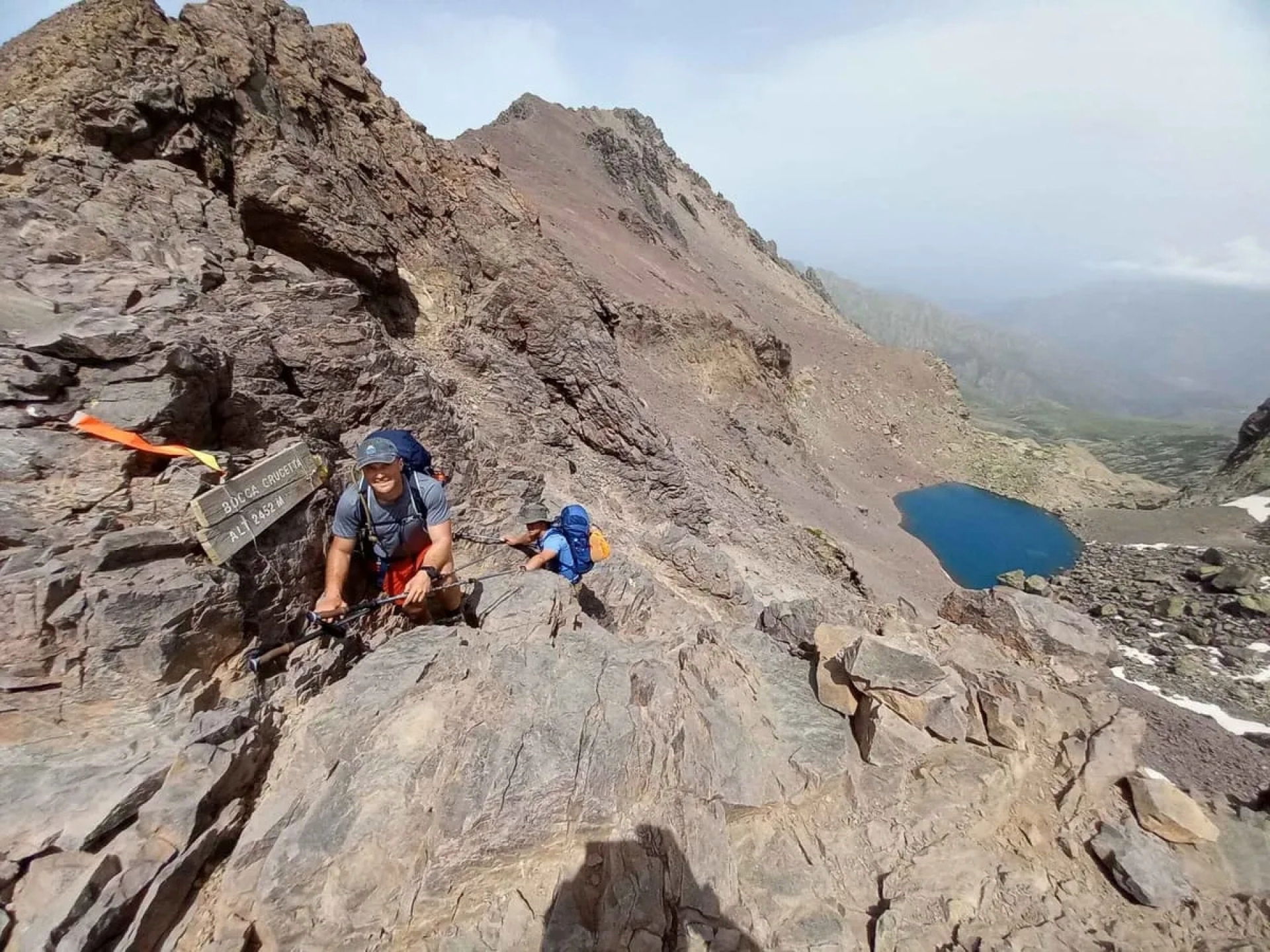
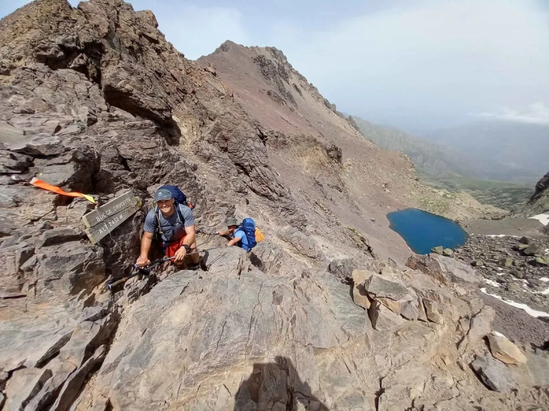
From the refuge, the path follows the Crucetta stream, climbing steadily via granite steps and short scrambling sections towards Monte Cinto. On one side, views open up to Capu Rossu (2,498 m) and Capu Larghia (2,475 m), while the wild Crucetta Valley stretches out below. Higher up, the trail heads towards Bocca Crucetta (2,452 m), a high viewpoint overlooking the dark cirque of Lago Cinto, a ridge near Capu Falu (2,540 m). You then continue over unstable scree to Pointe des Éboulis, where you can enjoy views of the sea.
The descent begins abruptly, winding through ravines and along ledges to Lake Argento. Later, the path levels out, zigzagging to Lake Capitellu. Here, you'll cross a wooden bridge over the Tighiettu stream, which leads to the bottom of the Asco valley, where water flows over pale flagstones and small waterfalls.
Day 6 -
Asco Stangu Refuge - Carrozzu Refuge
- Activity Trekking
- Duration of the activity 4h
- Distance 5 km
- Positive elevation gain 560 m
- Negative elevation 740 m
- Accommodation Refuge
- Breakfast not included
- Lunch not included
- Dinner not included
Starting from the Asco ski resort, this route may seem short, but it's intense. You emerge from the pine forest into a high, rocky valley below the summit of Muvrella (2,148 m). Soon, you'll find a secluded mountain lake before crossing a wide pass. From there, the route descends for a long stretch, following slabs and ledges alongside a clear stream until it reaches the Spassimata stream. The Carozzu Refuge is nestled among the pines on a balcony overlooking the valley.
From the refuge, follow the stony path and soon leave the trees behind, entering a challenging area of rough granite towards the Bocca di Stagnu pass (2,010 m), which overlooks the Asco valley. The trail leads you over stepped boulders and, at times, over easy slabs of rock towards the Muvrella pass (1,990 m), located below the summit of Muvrella. The path then leads you to the secluded Lake Muvrella, nestled in a cirque below the summit.
Further from the lake, the route descends to a winding saddle offering a first glimpse of the Lamitu Valley and the deep valleys to the north. Beyond the bridge, the path winds through pines and over boulders, with the sound of water never far away. A final section through the forest leads to the Carozzu clearing, where the refuge's terraces overlook the cliffs and the winding valley below.
Day 7 -
Carrozzu Refuge - Ortu di u Piobbu Refuge
- Activity Trekking
- Duration of the activity 4h30
- Distance 8 km
- Positive elevation gain 908 m
- Negative elevation 650 m
- Accommodation Refuge
- Breakfast not included
- Lunch not included
- Dinner not included
Leaving the pine-covered area around the refuge, the route heads straight for higher altitudes. A steady climb leads to a rocky ledge overlooking the valley, where you can enjoy early views of distant peaks and, on a clear day, the sea. At Bocca Avartoli, the landscape opens up to reveal a wild mix of bare summits, deep ravines, and slabs of gray granite. Beyond the main ridge, the terrain gradually becomes gentler as you descend and the path turns towards the next hut.
From there, you follow a stony path alongside a mountain stream, winding between pines and boulders. The trail then steepens, forming tight zigzags as you quickly ascend rough granite steps to Bocca di L'Innominata (1,865 m). Later, you reach Bocca Avartoli (1,898 m), where there are several scrambling sections leading to the Avartoli Pass (1,898 m). From there, you traverse to Bocca Piccaia (1,920 m), enjoying breathtaking views of the Corsican Regional Natural Park.
The descent alternates between rocky ledges and gentler forest paths, with short, steep sections where using your hands is helpful. As you descend, the pines and scrubland return. A final undulating traverse across a grassy shoulder leads directly to the refuge, nestled among twisted pines. Time for a well-deserved rest!
Day 8 -
Ortu di u Piobbu Refuge - Calenzana
- Activity Trekking
- Duration of the activity 5h
- Distance 12 km
- Positive elevation gain 100 m
- Negative elevation 1380 m
- Breakfast not included
- Lunch not included
- Dinner not included
This stage takes you from the high granite peaks down to the warm foothills of the Balagne region. Gradually, the wooded ridges and rocky outcrops give way to maquis shrubland and ancient terraces, and the Mediterranean Sea appears on the horizon. As the day progresses, the views widen to encompass Monte Grosso and the gulf near Calvi, before the path finally descends to the tiled roofs and bell towers of Calenzana.
From the refuge, the trail traverses rocky slopes dotted with pine trees before beginning a long descent along a stony ridge. Crossing the Bocca a U Bassiguellu (1,486 m) and Bocca a U Saltu (1,220 m) passes, it continues along ledges and ravines, offering panoramic views of deep valleys and the distant coastline. Lower down, the path winds through shrubs, past ancient stone walls, and abandoned fields. It crosses small streams and passes wayside crosses as the landscape becomes more cultivated and gentle.
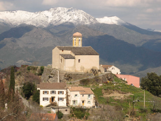
As you approach the valley floor, the route joins wider tracks and enters the outskirts of Calenzana. Narrow lanes wind past chapels and shaded squares until you reach the village center, where you'll find fountains and cafes nestled under plane trees. Here, you can put down your backpack and celebrate the end of your journey with a drink on a terrace overlooking the Balagne hills.
Day 9
Note
For a fully independent stay, we recommend that you take out the multi-risk insurance offered when you book.
Accommodation
During this stay, you will sleep in several different accommodations.
🏔️ Mountain refuge - Day 1
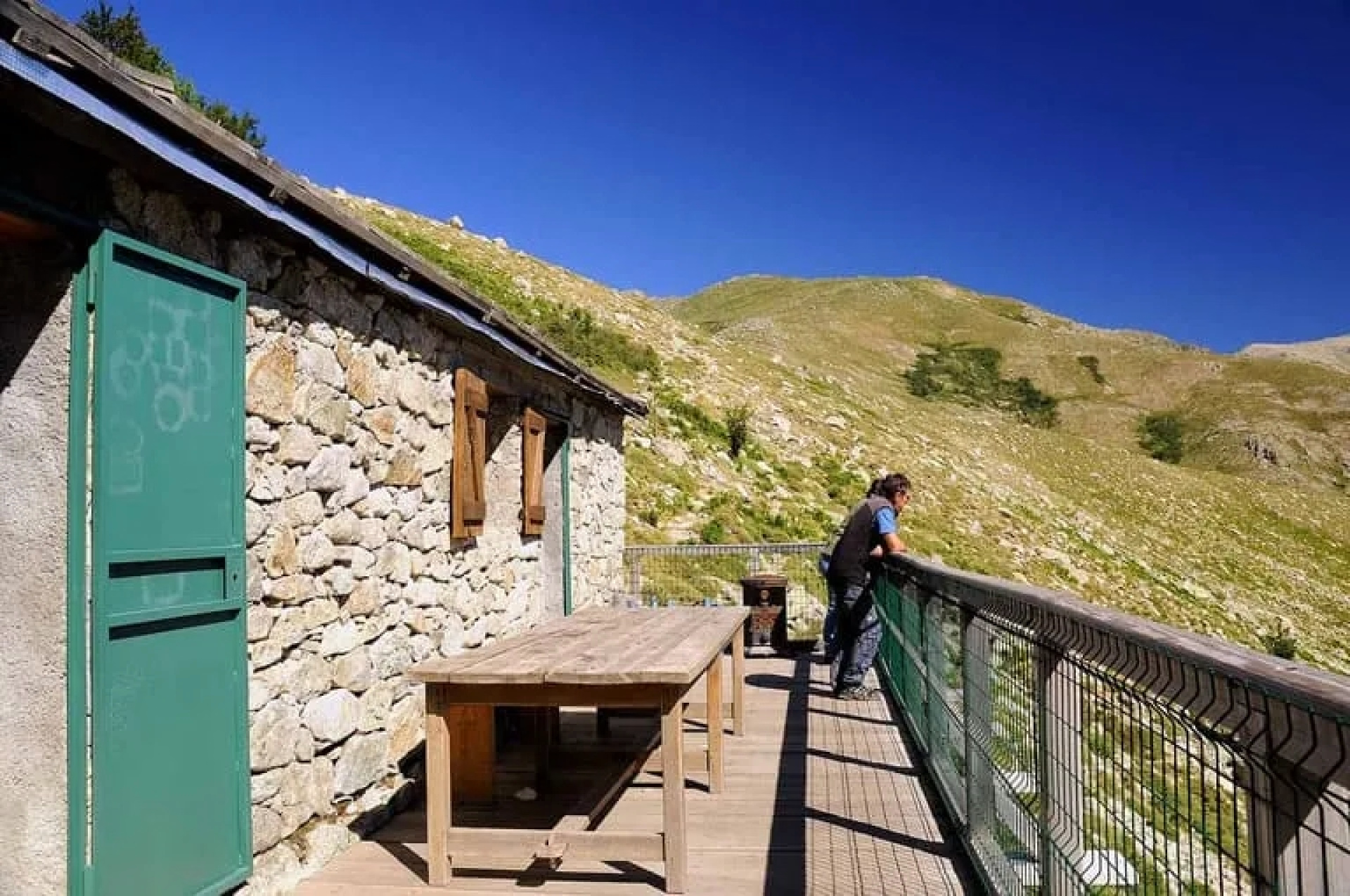
The Refuge de l'Onda is a mountain refuge located at an altitude of 1,430 meters in the Monte d'Oro massif, Corsica. An iconic stop on the GR20 long-distance hiking trail, it is nestled in a Corsican pine forest, near streams and natural pools. The refuge offers a calm and shady atmosphere, appreciated by hikers after the more exposed sections of the trail, and is an excellent starting point for exploring the surrounding ridges and peaks.
🏔️ Mountain refuge - Day 2
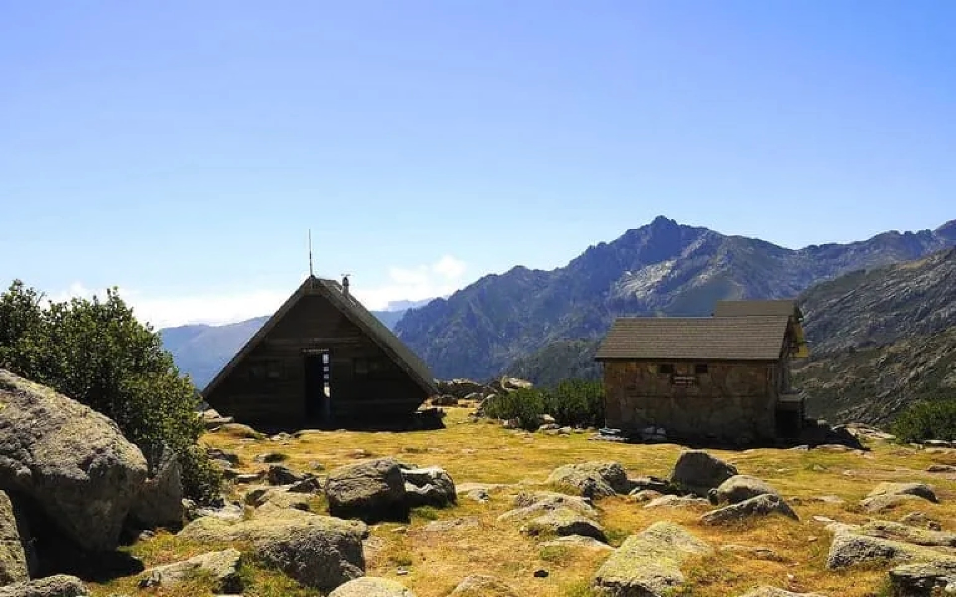
The Petra Piana Refuge is a mountain refuge located at an altitude of 1,842 meters in the heart of mountainous Corsica, between Vizzavona and Asco, on the famous GR20 hiking trail. Perched in a spectacular rocky landscape, surrounded by granite peaks and high-altitude lakes, it offers a wild and airy atmosphere. It is a landmark stop on the GR20, prized for its breathtaking panoramas and its distinctly alpine character.
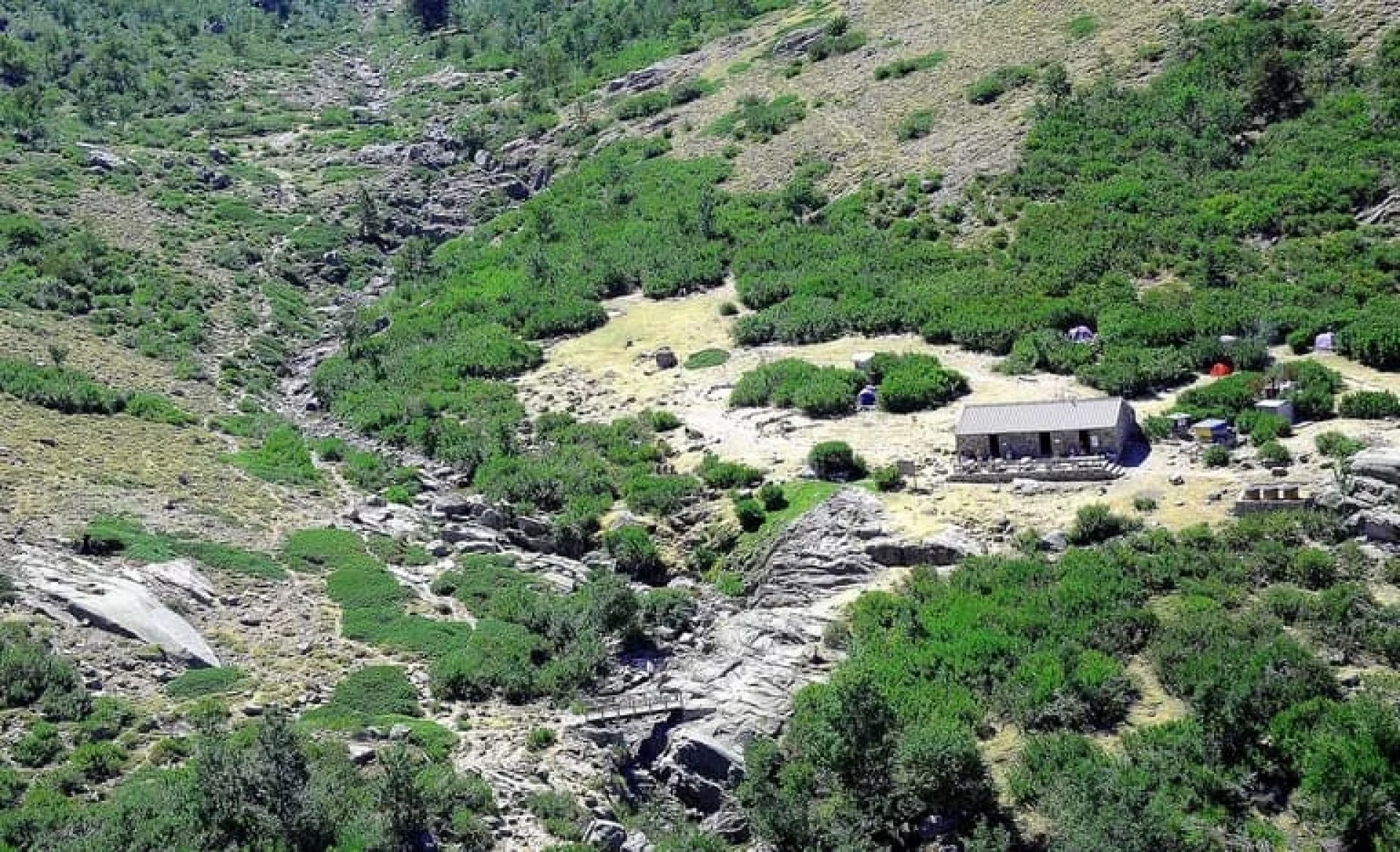
🏔️ Mountain refuge - Day 3
The Manganu Refuge is a mountain refuge located at an altitude of 1,601 meters on the Camputile plateau, in the heart of Corsica, on the famous GR20 hiking trail. Surrounded by vast alpine meadows, rivers, and lakes, it offers an open and peaceful setting, contrasting with the rockier sections of the trail. The refuge is a popular stopover thanks to its friendly atmosphere and strategic location in the heart of the Corsican mountains.
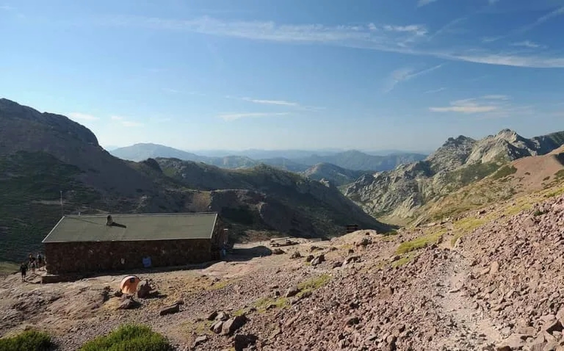
🏔️ Mountain refuge - Day 4
The Ciottulu di i Mori Refuge is a mountain refuge located at an altitude of 1,991 meters in the Monte Cinto massif, Corsica. It is the highest refuge on the GR20 long-distance hiking trail, nestled in an impressive rocky cirque surrounded by steep peaks. Its wild and austere setting makes it a highlight of the route, highly appreciated by hikers for its alpine atmosphere and spectacular panoramas.
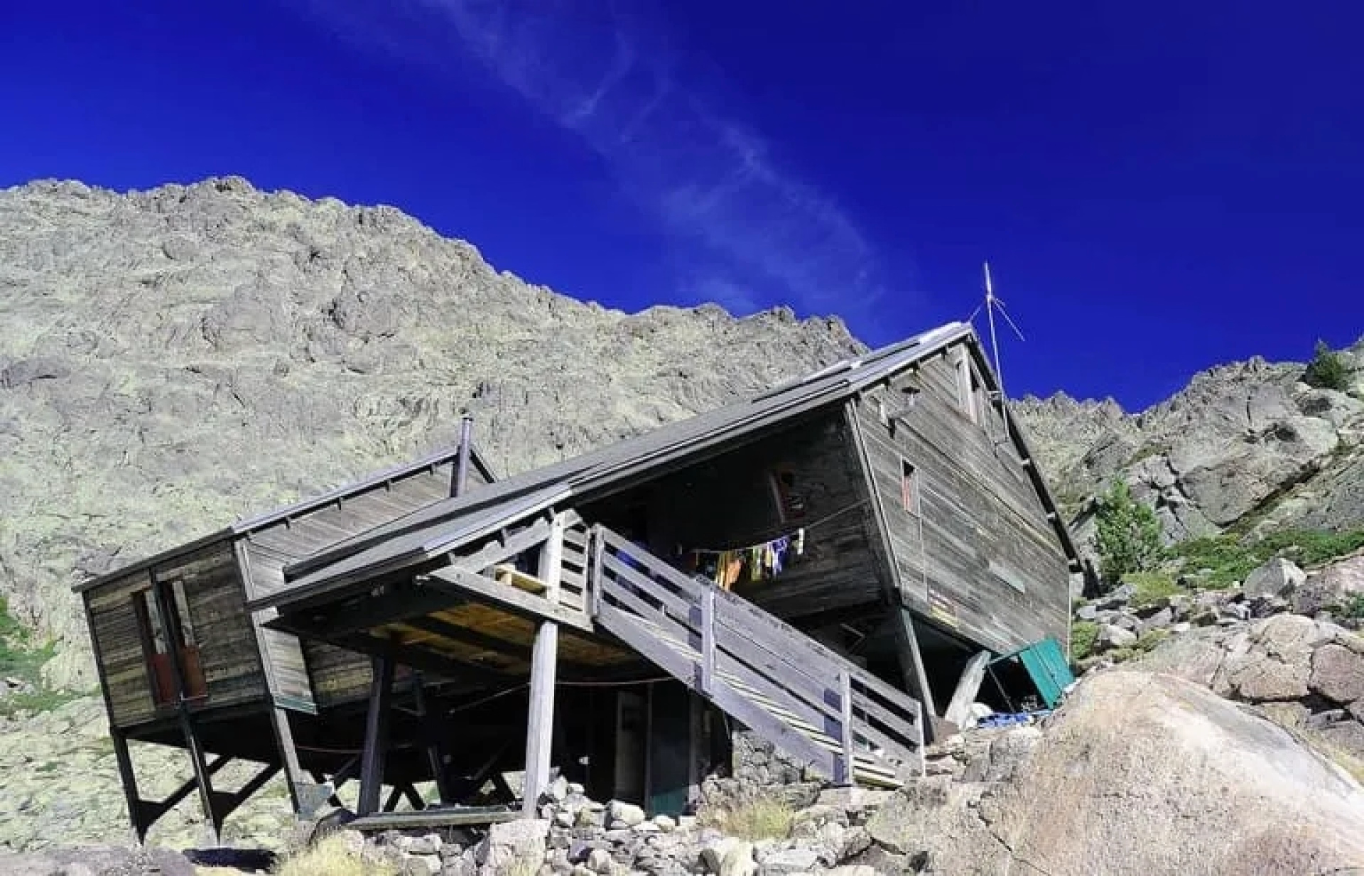
🏔️ Mountain refuge - Day 5
The Tighiettu Refuge is a mountain refuge located at an altitude of 1,683 meters in the Monte Cinto massif, Corsica. A stop on the GR20 long-distance hiking trail, it sits in a wild and rugged setting, dominated by rock faces and mountain streams. More rustic than other refuges along the route, it offers an authentic and secluded atmosphere, much appreciated by hikers seeking unspoiled nature on the GR20.
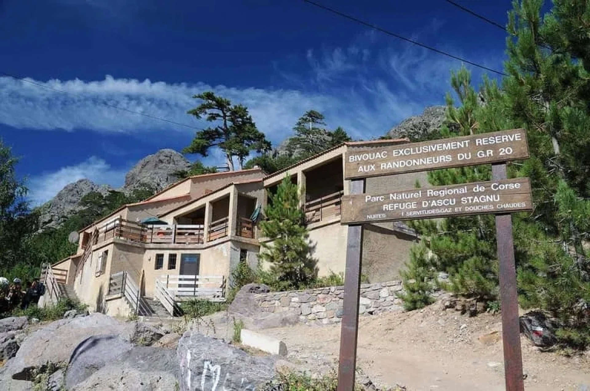
🏔️ Mountain refuge - Day 6
The Asco Stagnu Refuge is a mountain refuge located at an altitude of 1,422 meters in the Monte Cinto massif, Corsica. Situated at the end of the upper Asco Valley, it is a key stop on the GR20, the starting point for spectacular alpine climbs such as the Pointe des Éboulis and Monte Cinto. Surrounded by rock faces and streams, the refuge offers a warm and welcoming mountain atmosphere, much appreciated before tackling one of the most demanding sections of this famous Corsican trail.
🏔️ Mountain refuge - Day 7
The Carozzu Refuge is a mountain refuge located at an altitude of 1,270 meters in the Monte Cinto massif, Corsica. It is one of the first legendary stages of the GR20, accessible after the spectacular Spasimata footbridge over the river. Nestled in a rocky and wooded setting, the refuge offers a rustic and welcoming atmosphere, ideal for regaining strength before tackling the more technical sections of the famous Corsican trail.
🏔️ Mountain refuge - Day 8
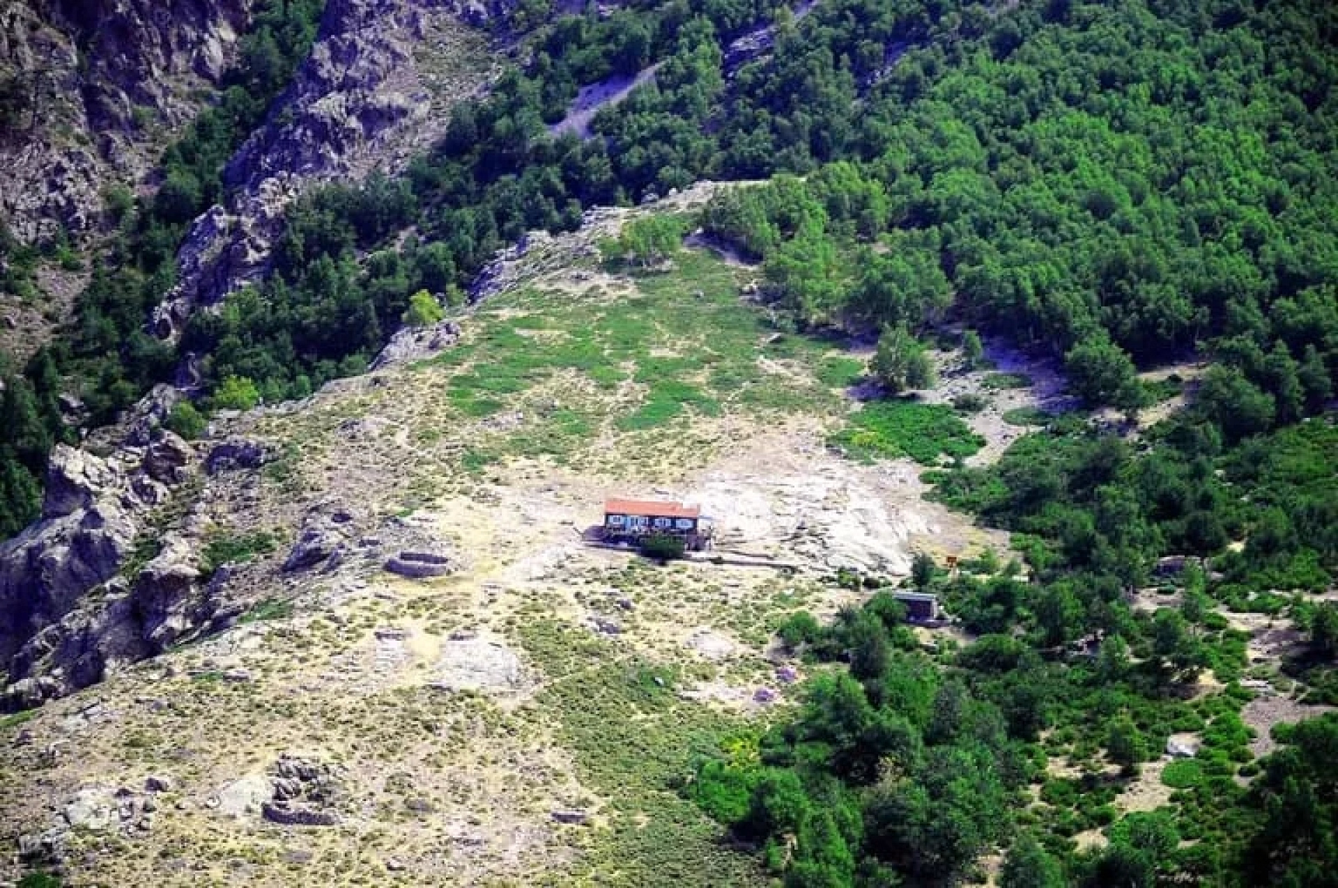
The Ortu di u Piobbu Refuge is a mountain refuge located at an altitude of 1,570 meters in the Monte Cinto massif, in northwestern Corsica. It is the first refuge on the famous GR20 trail starting from Calenzana. Surrounded by rocky ridges and high-altitude maquis shrubland, it offers a wild and authentic atmosphere, typical of the Corsican mountains. The refuge is an essential stop for hikers embarking on this demanding and iconic trek.
Access
Departure
Vizzavona, Vivario, France
Day 1
End of stay
Calenzana, France
Day 9
Go to the starting point
Take the train toGare de Vizzavona
The nearest airport isAéroport d’Ajaccio – Napoléon Bonaparte (AJA)
Price details
The price includes
- The digital travel guide
- Accommodation in mountain huts and dormitories
- Telephone support is available from 9am to 7pm.
The price does not include
- All meals
- Luggage transport
- The journey to the place of stay
- Drinks and personal expenses
- The solo supplement (€75)
Options
- Flex fare and insurance
Practical information
Specific formalities
Equipment
Decathlon Travel Partner
The Sierd team
3/5
(2 reviews)
• 20 stays
Specializing in multi-day treks, our local partner guides thousands of hikers on world summits, from Mont Blanc to Nepal. The agency relies on a team of dedicated experts in each region to ensure seamless logistics in mountain huts. It offers a comprehensive service: booking, luggage transport, and technical advice. Its goal is to make high-altitude mountaineering accessible and inspiring, while preserving an authentic spirit of adventure.
Are you satisfied with this page?
Subscriber benefit
save 5%
by joining
our community
Decathlon Travel Benefits
Best price guaranteed:
We offer twice the difference
Free cancellation more than 30 days in advance
Payment in 2 installments
Learn more