Trekking in the Calanques of Cassis
In summary
-
Sports
-
Duration5 days
-
LevelIntermediate
-
DestinationThe Calanques / Blackcurrant
-
AgeFrom 12 - 90 years
-
CO₂-Emissions35.88 kg CO2
-
Type of stayIndependent traveler
In a few words
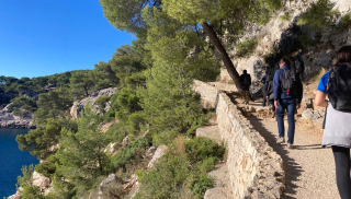
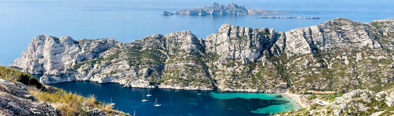
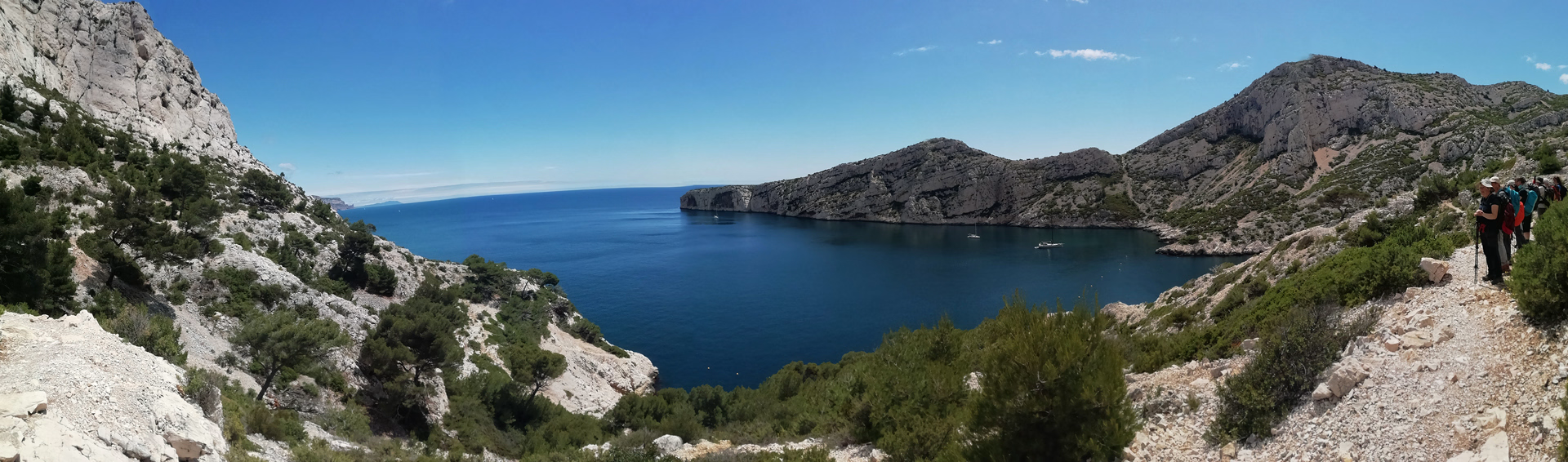
A unique site in Europe , of unsuspected grandeur and splendor, the Calanques became France's tenth National Park in April 2012. It is a mountain range with a rugged geography, crisscrossed by small paths and "secret" passages that surprise even the most seasoned visitors!
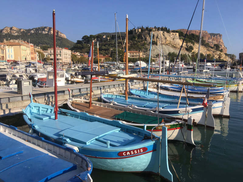
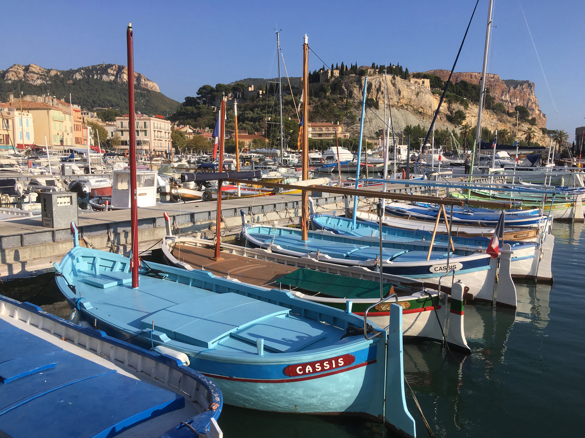
The Calanques are home to a rich and diverse flora, from cliffs hundreds of meters high to foothills sculpted by the Mediterranean swell, and secluded coves with magnificent colors . You will be staying in Cassis, a small coastal village whose harbor, boats, and inviting terraces will leave a lasting impression.
The highlights
-
A complete immersion in the Calanques National Park
-
Quick and easy access by TGV from Paris
-
A lovely getaway in spring or autumn
Photos
Sport
Level
Hiking / Trekking
The expert's opinion
This trip is for experienced hikers, as the trails are rocky, sometimes steep, and require attention. Each day, you'll hike routes with an elevation gain of 300 to 800 meters on technical trails, for approximately 5 to 6 hours of walking. You'll carry a light pack containing essentials such as a picnic lunch, warm clothing, and a water bottle. While the routes don't present any major technical difficulties, day 2 includes short sections where you'll need to use your hands, as well as access to the Sugiton cove, secured by a chain or small rungs.
An automated phone service at 0811 20 13 13 provides daily updates on hiking conditions, including restrictions related to wind or fire risk. Water supplies can be limited in the Calanques, so it is advisable to bring at least two liters per day.
In figures
Hiking
- Average duration/day: 5h30
- Average daily elevation gain: 563 m
- Average daily descent: 563 m
Management
The mobile app provided works in airplane mode, allowing you to track your route and send alerts if needed (by disabling airplane mode). It also displays your GPS coordinates.
We pride ourselves on providing you with clear and accurate information so that you can plan your hike with confidence.
Program
-
The small coves of Port Miou, Port Pin and En-Vau
- Activity Hiking
- Duration of the activity 5h
- Positive elevation gain 300 m
- Negative elevation 300 m
- Accommodation 2-star hotel
- Breakfast not included
- Lunch not included
- Dinner not included
Arrival in Cassis in the morning, recommended between 10:30 and 11:00. Drop off your luggage and start your hike from the hotel.
THE SMALL COVES OF PORT MIOU, PORT PIN AND EN-VAU
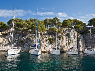
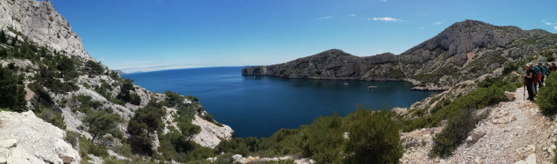
From the Port Miou cove, a natural harbor sheltering numerous sailboats, a small path leads to the famous Port Pin cove and then the En-Vau cove, renowned for its lace-like cliffs, making it one of the most beautiful in the world! This last day takes place amidst varied Mediterranean landscapes, alternating between beautiful pine forests, deep coves, and garrigue plateaus, with sea views throughout.
Day 1 -
Grand tour of the calanques of Sormiou, Morgiou and Sugiton.
- Activity Hiking
- Duration of the activity 5h30
- Positive elevation gain 535 m
- Negative elevation 535 m
- Accommodation 2-star hotel
- Breakfast included
- Lunch not included
- Dinner not included
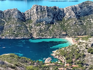
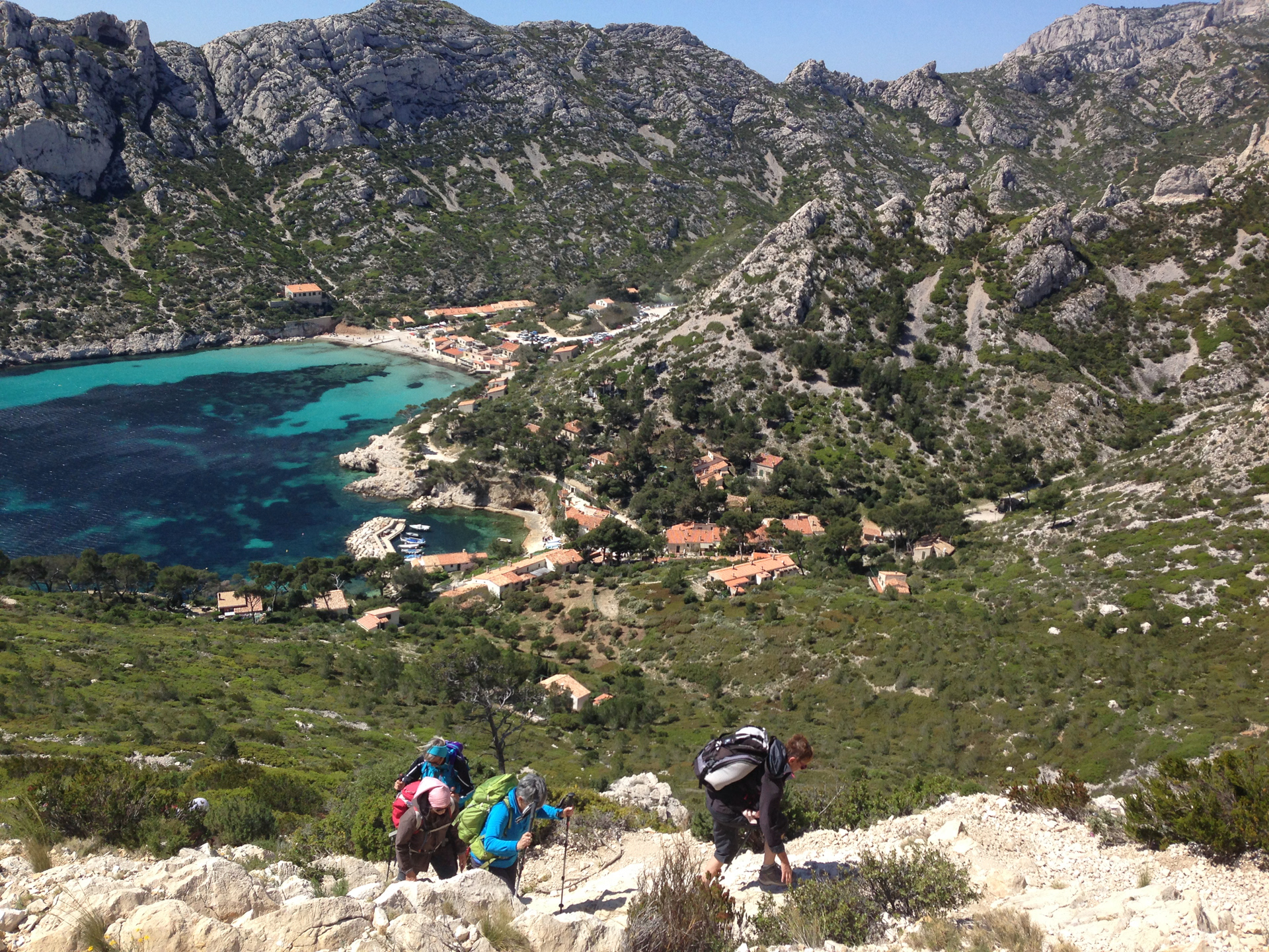
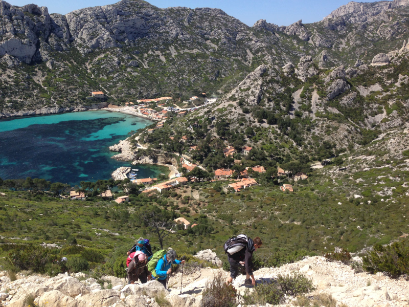
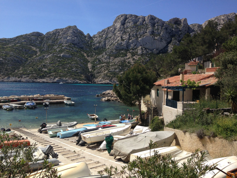
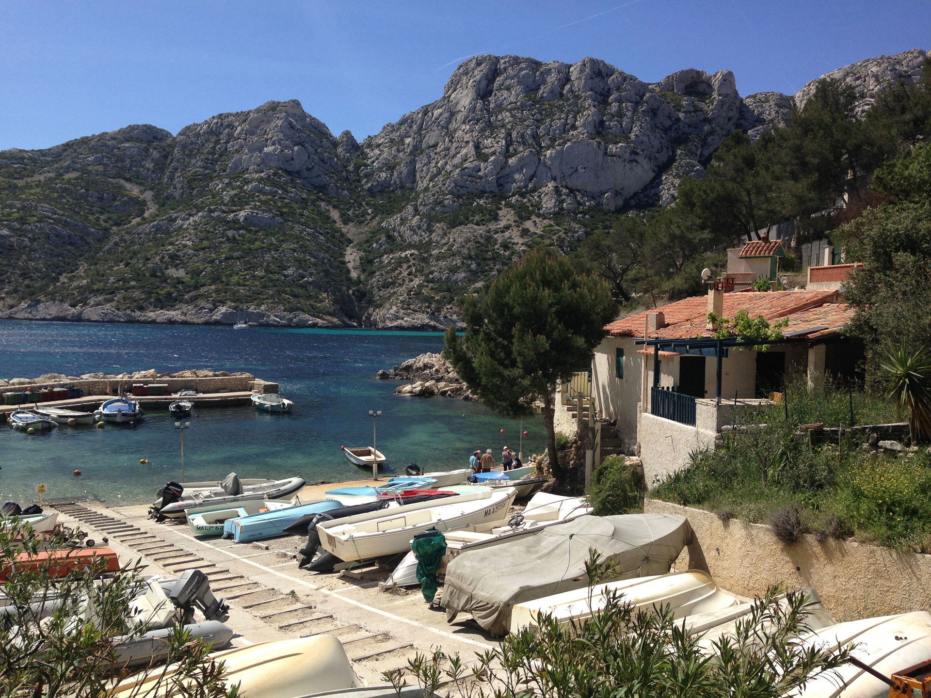
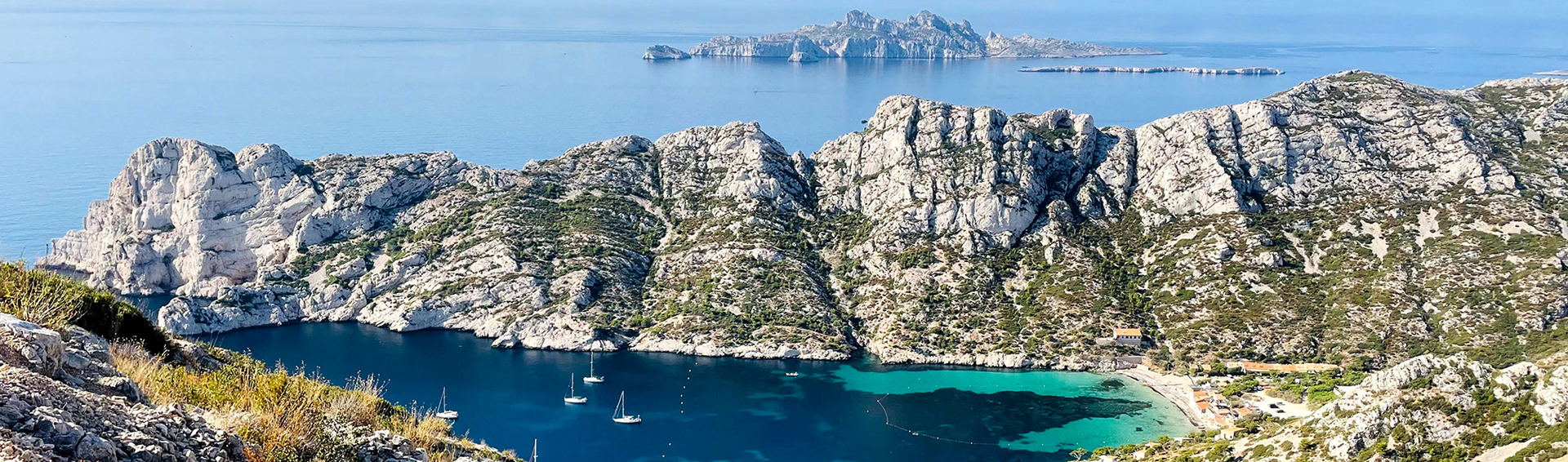
A beautiful path along the clifftop before descending towards Sormiou offers a stunning view of Marseille and its harbor, a perfect start to the trip! Here, the colors of the water, the scattered Alpine pines, the flower-filled cabins, and the few boats in the port invite contemplation. The Morgiou ridge, rising over 200 meters above the sea, gives an airy impression, followed by a descent to the Morgiou cove, the other "inhabited" Calanque. Here, a few fishermen still live, defying modern times by practicing fishing according to ancestral traditions from their tiny wooden boats: "les pointus" (the pointed boats). The Sugiton cove is a pure marvel, and this inlet offers a dreamlike swim! A wide path leads back to the starting point easily.
Accessible by public transport, approximately 1 hour.
Distances - Elevation Gain - Walking Time - Technical Skills
Easy option: +535 m, -535 m Walking time: 5 h 30
Longer route: +700 m, -700 m. Walking time: 6 hours 30 minutes.
Day 2 -
The circuit around Cap Gros (509 m) and Mont Puget (563 m)
- Activity Hiking
- Duration of the activity 6h
- Positive elevation gain 800 m
- Negative elevation 800 m
- Accommodation 2-star hotel
- Breakfast included
- Lunch not included
- Dinner not included
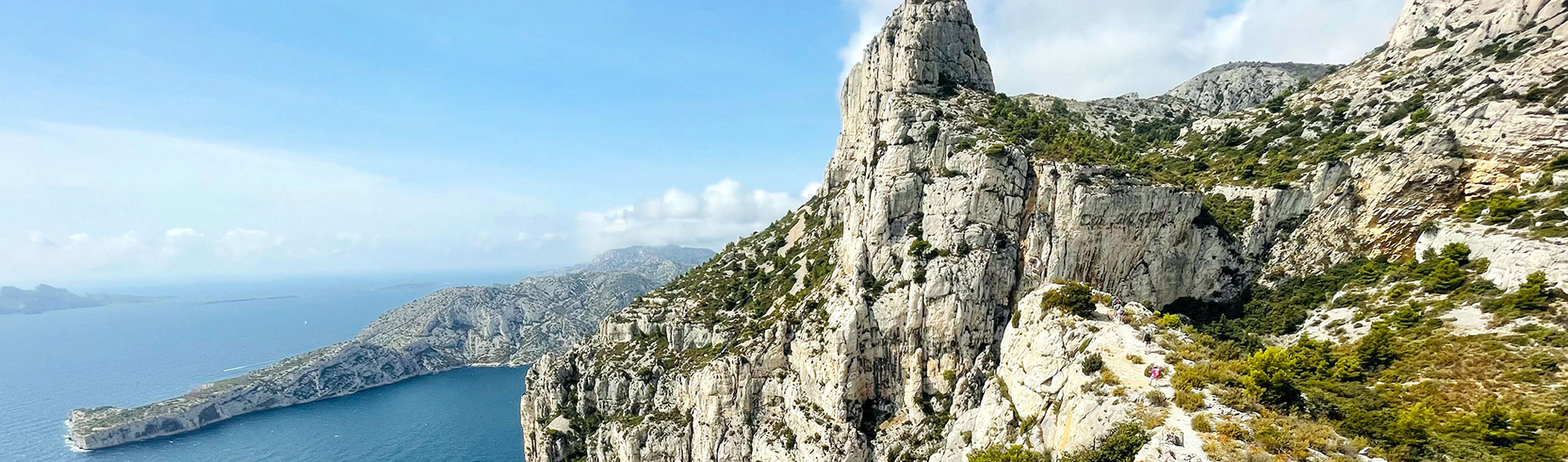
Crossing the Gardiole state forest early in the morning allows you to enjoy the scents of Provence! Walking along the top of the cliffs, shaped like great vertical organ pipes plunging into the water nearly 300 meters high, offers a unique panorama of the Grande Candelle, a renowned climbing spot, and the many headlands and islands in the area. A small gap leads to Cap Gros. The view of the hinterland towards Cap Canaille is superb. All that remains is to reach Mont Puget, the highest point of the massif at over 560 meters above sea level. Here, the landscapes and mountain atmosphere so characteristic of the Calanques truly come to life! The return journey follows a comfortable path along a wide ridge, offering panoramic views of the hinterland and the Sainte-Baume massif.
Take a taxi as the bus stop at the start of the hike is no longer in service.
Day 3 -
Discovering the wild Calanques of Marseilleveyre
- Activity Hiking
- Duration of the activity 5h30
- Positive elevation gain 590 m
- Negative elevation 590 m
- Accommodation 2-star hotel
- Breakfast included
- Lunch not included
- Dinner not included
Starting from Pointe Rouge, south of Marseille, this hike takes you through the Marseilleveyre massif, a wild and beautiful area where the secluded coves of Marseilleveyre, La Mounine, and Callelongue are hidden. You'll traverse a diverse landscape, from Mediterranean hills to coastal paths, offering breathtaking panoramic views of the sea. Far from the crowds, this getaway is ideal for intermediate hikers seeking peace and authenticity. Between rocky ridges and turquoise coves, each stage reveals a new facet of Mediterranean nature. A refreshing escape in the heart of the Calanques National Park, perfect for hiking enthusiasts.
Accessible by public transport, 1 hour 30 minutes to the start of the hike. The hike can be adapted into a point-to-point route, saving 30 minutes on the return journey. Taxi service is also available.
Day 4 -
Cap Canaille and the ridge trail
- Activity Hiking
- Duration of the activity 6h
- Positive elevation gain 590 m
- Negative elevation 590 m
- Breakfast included
- Lunch not included
- Dinner not included
A bus transfer is possible to avoid car transfers. Plan this transfer for the morning. Expect sections of paved road at the beginning and end of the hike, but bus line 30 can save you some time getting closer to the starting point.
The Anse du Cannier Passage offers a breathtaking hike between La Ciotat and Cassis. Start near the Notre-Dame de la Garde Chapel and follow the trails towards stunning panoramic views. Traverse secluded coves, charming hamlets, and dramatic ridges overlooking the Mediterranean Sea. The soaring cliffs and sparkling waters will amaze you at every turn. The views of the Bay of La Ciotat and the Calanques are breathtaking, inviting you to contemplate the raw beauty of the Mediterranean coast. Finally, admire the Bay of Cassis from the heights before concluding your adventure at the Pas de la Colle.
Access by public transport is possible, 1 hour 30 minutes to the start of the hike. We recommend taking a taxi if you wish to shorten the day.
Day 5
Note
Hiking times are given excluding approach time to the trailhead. Depending on the means of transport used, travel times can vary from 20 minutes to 1 hour 30 minutes.
Attention !
The Calanques are subject to a prefectural decree regulating access in the event of a fire risk from June 1st to September 30th inclusive, as well as when winds exceed 80 km/h. Please check the automated information line daily at 0811 20 13 13 to find out about any restrictions or prohibitions affecting your hikes.
The presence of gusty winds or a strong mistral can be dangerous on many parts of the trails. Check the conditions thoroughly before setting out. If your safety is at risk during the hike, it is sometimes wiser to turn back or abandon the day's hike.
Accommodation
In a two-star hotel, near the port or nearby in the village.
Access
WELCOME
Day 1, between 10:30 and 11:00 AM, at your hotel in Cassis. The hotel will be assigned based on availability at the time of booking. Please let us know if you are arriving by car or train: this helps us choose the most suitable accommodation.
DISPERSION
On day 5, you return from La Ciotat by TER train, then you collect your luggage at the hotel. End of stay.
If you are returning by train: bus to Cassis station (approximately every 30 minutes), then TER or bus to Marseille.
Go to the starting point
From the North A7-A51 (towards airport, Aix, Lyon) - Access St Charles station, Porte d'Aix.
From the A55 coast (towards airport, Aix, Fos, Lyon, Montpellier, Barcelona) follow Joliette, Vieux Port - toll tunnel - East A50 (towards Cassis, Toulon, Nice, Genoa).
Price details
The price includes
- Organization fees
- The travel file as described in the program
- Hotel accommodation for 4 nights (double room with breakfast)
- Tourist taxes
The price does not include
- Evening meals of your choice in one of the many restaurants in the port of Cassis
- Lunchtime picnics
- Your parking and travel expenses to the starting points of the hikes
- Taxi or local bus transfers required for the hiking program
- Personal drinks
- Insurance
- The “solo supplement” if you are travelling alone (including the single room supplement)
- Anything not listed under "the price includes"
Options
- Additional night in a B&B before the stay - In a double room : CHF164.66 / unit
- Additional night in a B&B after your stay - In a double room : CHF164.66 / unit
- IGN hiking map : CHF22.87 / unit
- Flex fare and insurance
Practical information
Specific formalities
Specifics
In the case of flights with stopovers operated by different airlines, also check the entry requirements of the countries you are transiting through.
It is your responsibility to ensure that you are in compliance, particularly regarding the validity of your identity documents (
For example, some countries require your passport to be valid for at least six months after your return date. Consider visa requirements, necessary vaccinations, and health recommendations. And don't forget to take into account any customs restrictions and other potential requirements of your destination or transit country.
ℹ️ Information may change up to the departure date, remember to regularly check official websites.
⚠️ For this stay, you must also bring your health insurance card.
Equipment
Equipment provided on site
- The digital dossier/Roadbook
- Your travel journal will be printed in PDF format, including extracts of 1:25,000 scale maps of your route.
- Printing and sending your travel journal
- The Mobile Application
Equipment to bring
- 30/35 litre backpack with waist belt.
- 2 telescopic poles (recommended) for better stability.
- Hiking boots with good ankle support and a Vibram-type sole are recommended. Be sure to test them before setting off, especially if they are new or haven't been used for a long time. Given the condition of the trails, low-cut shoes are not advised.
- Water bottle or hydration pack with a drinking tube, with a capacity of at least 1.5 liters per person, up to 2 liters depending on the season. There are no water points along the trails.
- Small airtight plastic container, cup, knife and fork for picnics.
- Race supplies to replenish energy along the way.
- A small waterproof pouch for your valuables such as: cash, ID card, bank card, health insurance card, and assistance contract. You can leave the rest of your documents and car keys at the hotel during your stay.
- Emergency survival blanket.
- Toilet paper with a sealed bag to wrap it up and throw it in the first available bin.
- A swimsuit + a bath towel
- A hat or scarf or cap
- A pair of sunglasses with good protection
- Protective cream for skin and lips
Clothing to bring
When hiking, adhering to the three-layer principle is essential to guarantee your comfort and safety throughout your journey:
- Breathable short-sleeved T-shirt: choose a breathable T-shirt made of hollow fiber to wick away sweat when you are active.
- Long-sleeved mid-layer: This layer keeps you warm in cool weather by providing extra thermal insulation.
- Waterproof and breathable windproof jacket (like Gore-Tex or equivalent): this outer layer effectively protects you against inclement weather such as rain, snow or wind, keeping your body dry and sheltered from the elements.
Adapt your clothing according to the weather and the level of exertion . Choose clothes that dry quickly, avoid cotton which retains moisture, and favor materials like wool, silk and synthetic fibers to stay dry and warm.