In summary
-
Sports
-
Duration7 days
-
LevelAdvance
-
DestinationQueyras Massif / Hautes-Alpes
-
AgeFrom 16 - 90 years
-
CO₂-Emissions74.96 kg CO2
-
Type of stayIndependent traveler
In a few words
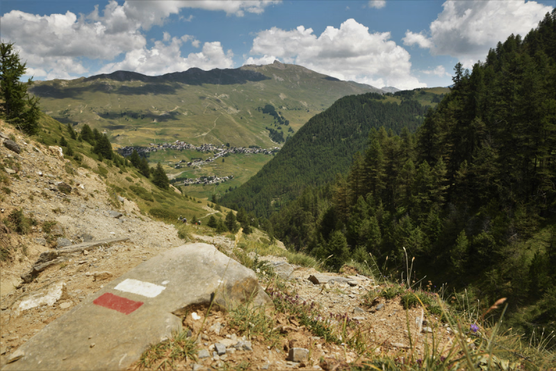
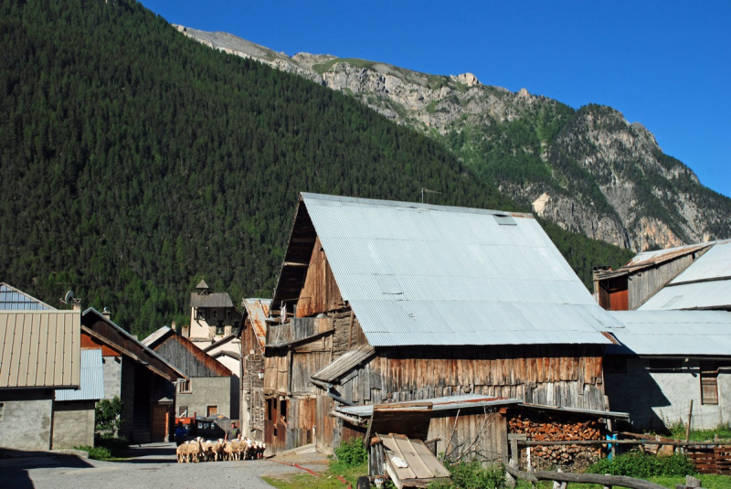
Explore the Queyras region at your own pace on a 6-day adventure along the GR58, the official long-distance hiking trail. If you're looking to discover the Queyras, this trip is tailor-made for you. During this week of hiking, you'll explore all the must-see sites of the Queyras , discovering lakes, hidden valleys, and charming villages. Benefit from assisted guidance for a modern hiking experience, including instant access, a map, geolocation, tracking, and points of interest.
The highlights
-
A departure at your convenience
-
A personalized welcome with a complete hiking kit: GPS track, digital roadbook
-
The possibility of being in a double room
Photos
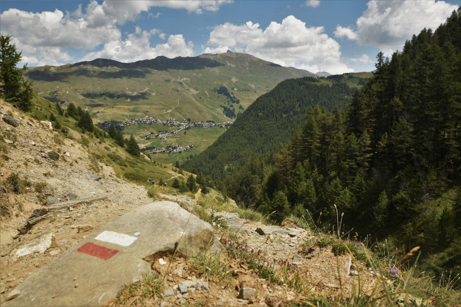
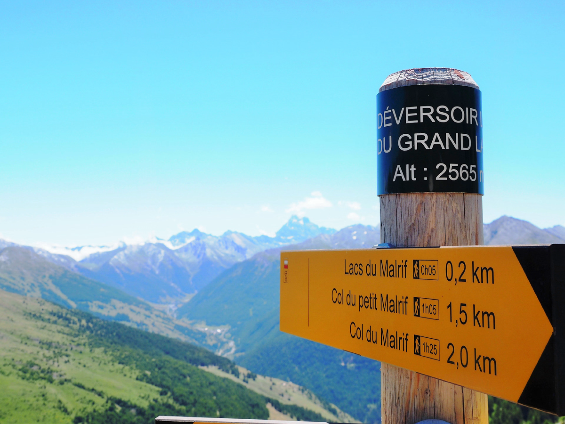
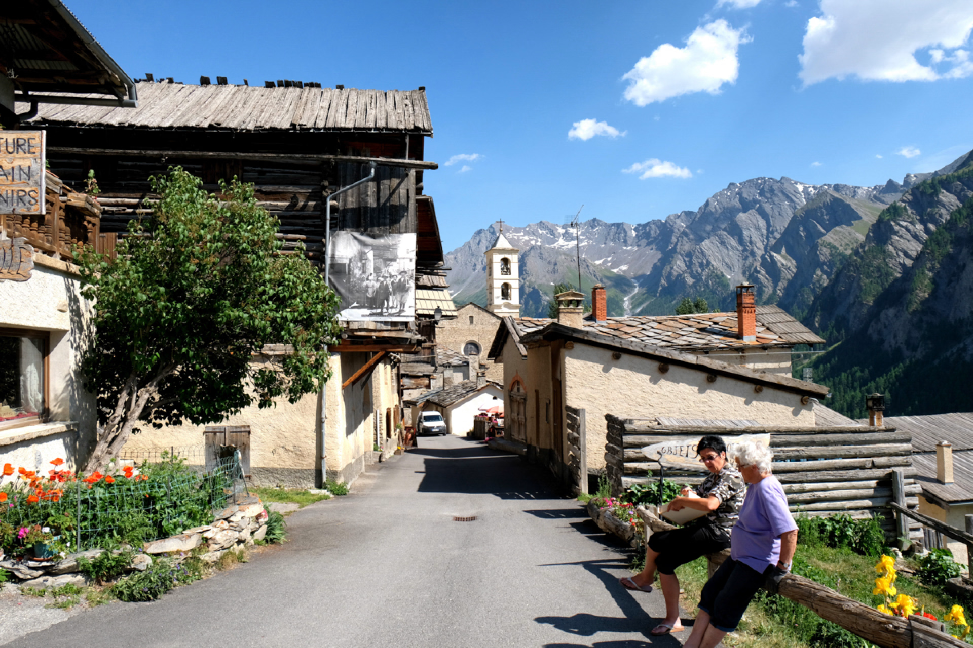
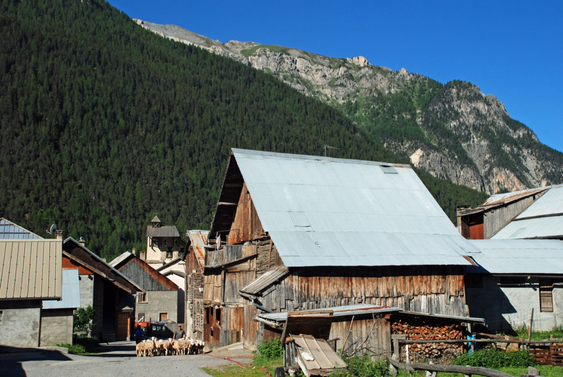
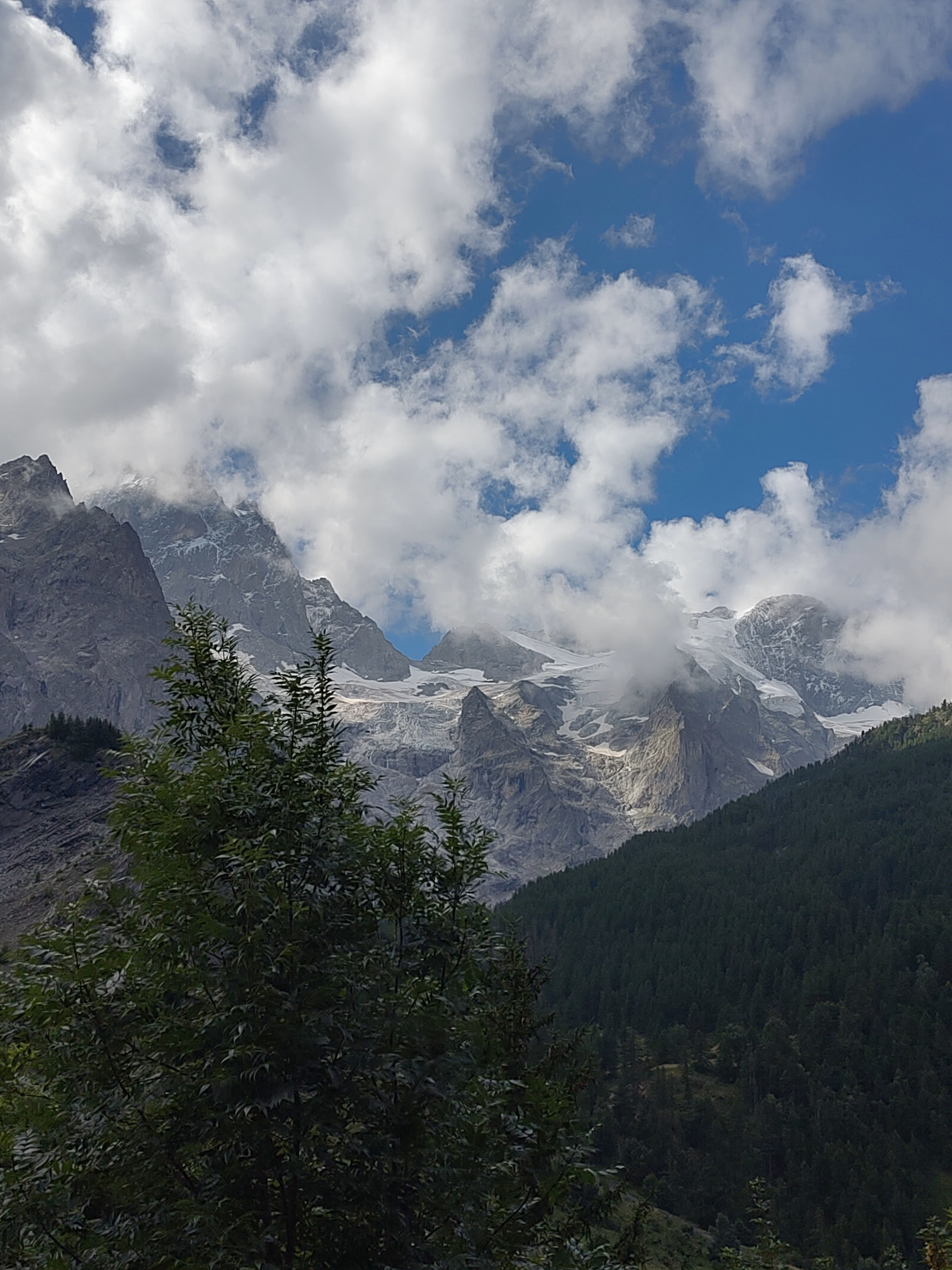 Christine - verified review - july 2025
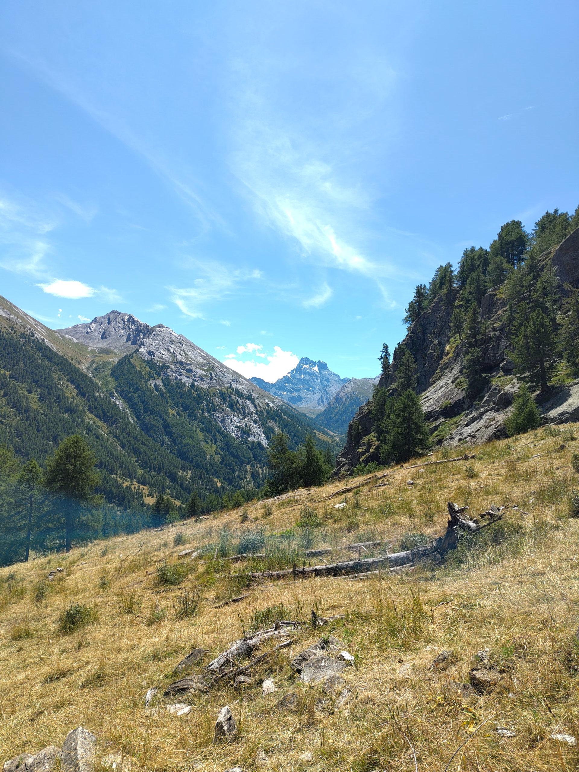 Christine - verified review - july 2025
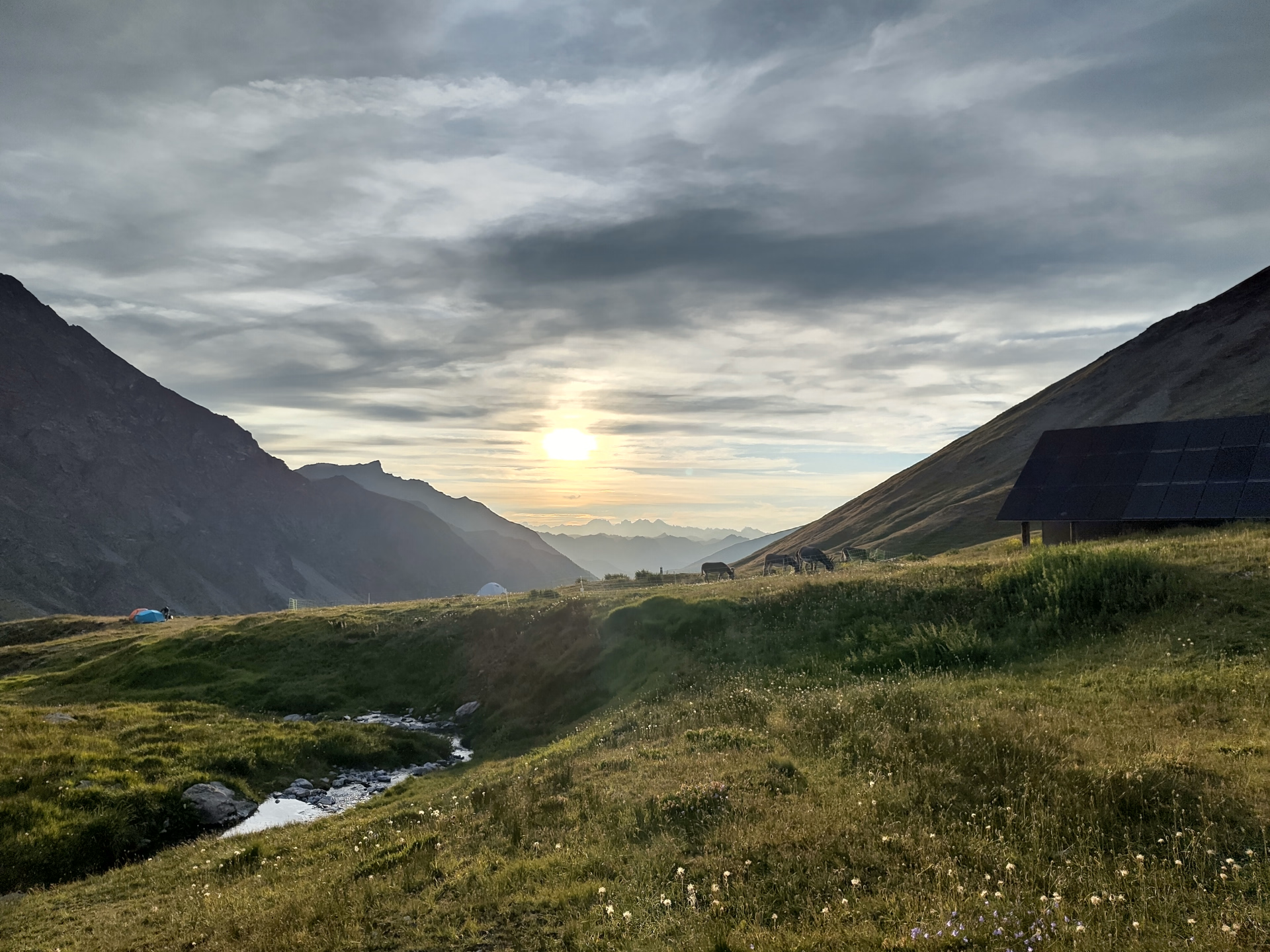 Christine - verified review - july 2025
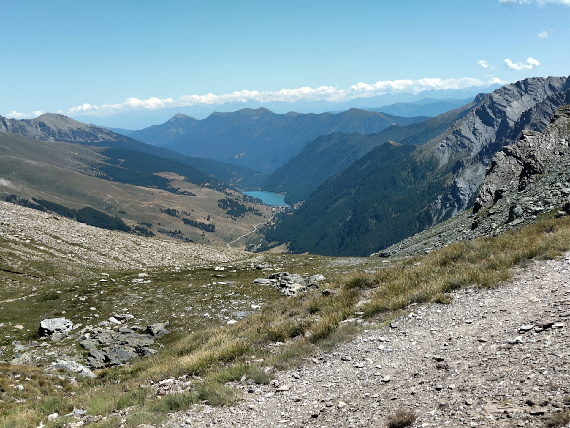 Christine - verified review - july 2025
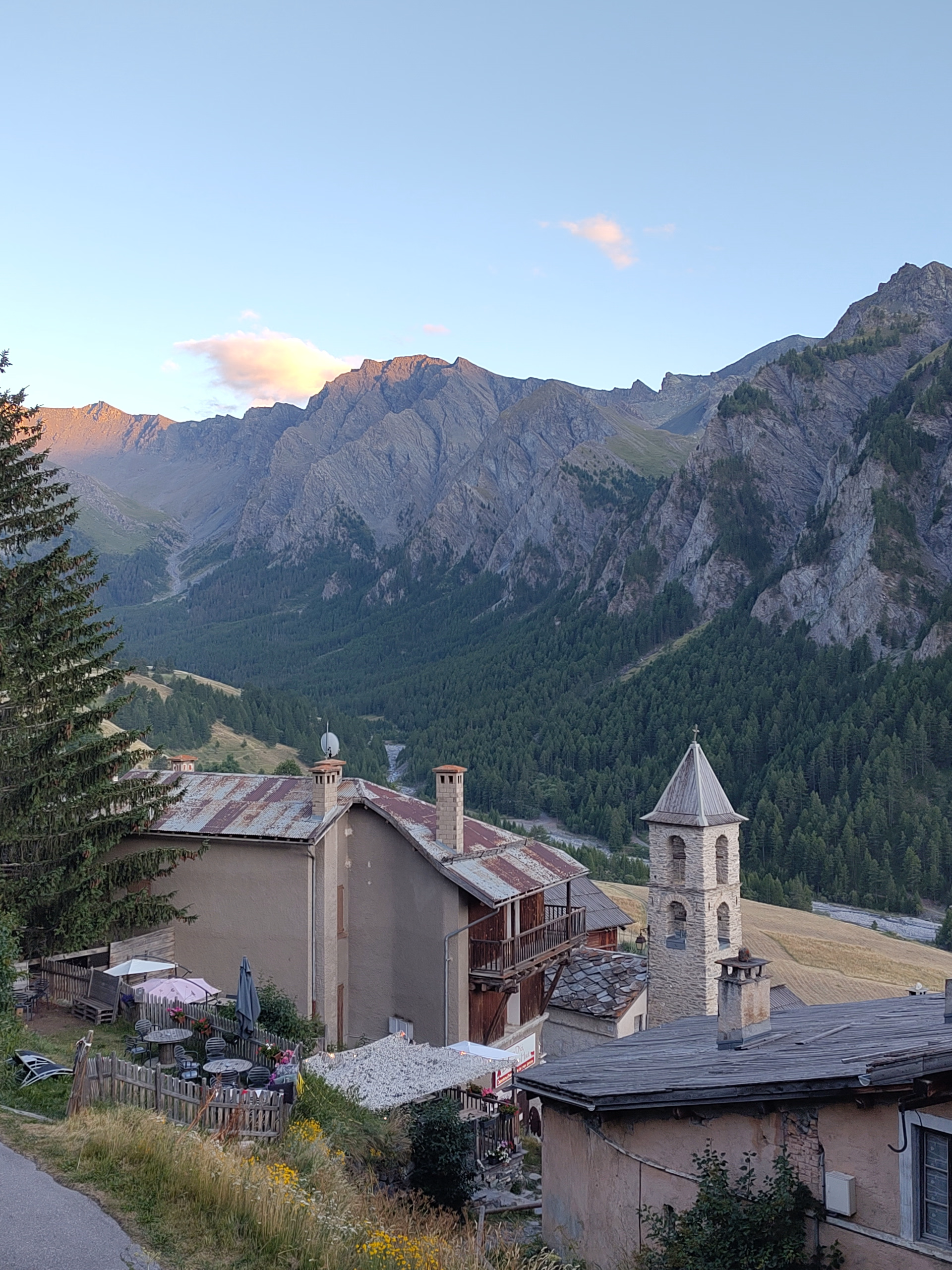 Christine - verified review - july 2025
Sport
Level
Hiking / Trekking
The expert's opinion
This trip is perfect for you if you're already an experienced hiker in good physical condition and able to endure long periods of exertion! The hikes take place on mountain trails with elevation gains and losses of 700 to 1200 meters, without any particular technical difficulties. Expect to hike for approximately 6 to 7 hours per day.
Each day you can choose the difficulty level of the route. The sporty route has a greater elevation gain. It may also include more technical or exposed sections.
The level corresponds to an average cumulative elevation gain over the entire week. We also use other factors such as luggage carrying, commitment, network availability, and terrain type to refine the level.
During peak season, an inter-village shuttle system can save you some time and elevation gain on the stages, making them a little easier.
If you take your own measurements, it is not uncommon to find discrepancies with our description.
In figures
Hiking
- Average duration/day: 6h
- Average daily elevation gain: 924 m
- Average daily descent: 901 m
Management
The mobile app provided works in airplane mode, allowing you to track your route and send alerts if needed (by disabling airplane mode). It also displays your GPS coordinates.
Each day, you can choose the level of difficulty that suits you. We make it a point to provide you with clear and precise information so that you can plan your hike with confidence.
Follow well-maintained marked trails for a worry-free experience. If you prefer a more relaxed pace, we also offer easier options using our inter-village shuttle service at the beginning or end of your stage.
Program
-
Welcome to your first accommodation
- Activity Autre
- Accommodation Cottage
- Breakfast not included
- Lunch not included
- Dinner included
See you in VILLE-VIEILLE
Day 1 -
VILLE-VIEILLE (1,380 m) - COL FROMAGE (2,301 m) - CEILLAC (1,640 m)
- Activity Hiking
- Duration of the activity 6h30
- Positive elevation gain 1120 m
- Negative elevation 869 m
- Accommodation Cottage
- Breakfast included
- Lunch not included
- Dinner included
Get ready for a magnificent warm-up hike through a picturesque, flower-filled valley, between the majestic Château-Queyras fortress, verdant alpine pastures, cool larch forests, and a breathtaking panoramic mountain pass! The route follows the GR5 trail, which descends towards the sea. Along the way, if the sky is clear and you're feeling energetic, don't hesitate to take the alternative route leading to the old optical telegraph station overlooking the Chambrettes ridge. A perfect day to stretch your legs and enjoy the beauty of the surrounding landscapes!
Possible sporting route: +1315 m, -1067 m, 8 hours 30 minutes of walking
Day 2 -
CEILLAC (1,640 m) - COL DES ESTRONQUES (2,651 m) - SAINT-VÉRAN (2,040 m)
- Activity Hiking
- Duration of the activity 6h30
- Positive elevation gain 1126 m
- Negative elevation 807 m
- Accommodation Cottage
- Breakfast included
- Lunch not included
- Dinner included
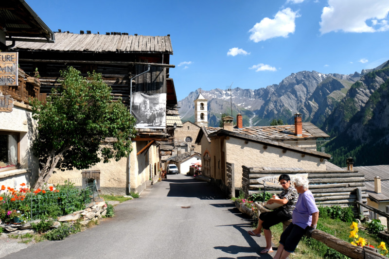
After leaving Ceillac, you'll begin the ascent of the Col des Estronques, which reaches an altitude of 2,650 meters. This is the very first major pass on the Queyras circuit. From the summit, you'll be rewarded with a breathtaking view of the Pic de la Fonte Sancte, the highest peak in the Queyras at 3,392 meters, as well as the village of Saint-Véran. Depending on your arrival time at the pass and the weather conditions, you'll have the option of taking a short detour towards the Tête Jacquette (out and back) or continuing along the ridge for a much more exposed and airy descent! A day that promises thrills and spectacular panoramas!
Possible sporting route: +1405 m, -1086 m, 8 hours 30 minutes of walking
Day 3 -
SAINT-VÉRAN - CIRQUE DE LA BLANCHE AND PIC CARAMANTRAN (3,040 m)
- Activity Hiking
- Duration of the activity 5h
- Positive elevation gain 1007 m
- Negative elevation 428 m
- Accommodation Refuge
- Breakfast included
- Lunch not included
- Dinner included
Embark on a breathtaking escape to the alpine heart of the magnificent Queyras massif! A day that promises to immerse you in the unique atmosphere of the peaks. On the agenda: a gentle ascent of a 3,000-meter border summit, offering breathtaking views across the entire Alpine arc and the Italian valleys. An experience not to be missed for a memorable day at the summit of pure joy!
Possible sporting route: +1,059 m, -511 m, 6 hours 30 minutes of walking
Day 4 -
AGNEL REFUGE (2,570 m) - VIEUX PASS (2,806 m) - ABRIÈS (1,545 m)
- Activity Hiking
- Duration of the activity 6h30
- Positive elevation gain 460 m
- Negative elevation 1473 m
- Accommodation Cottage
- Breakfast included
- Lunch not included
- Dinner included
Get ready for an incredible day exploring magnificent high-altitude lakes and hidden mountain treasures! You'll be amazed by the flowering alpine meadows, centuries-old trees, crystal-clear streams, and verdant glades that dot our path. And the best part? You'll have several routes to choose from to reach the summits, including the option of an off-trail adventure to the top of Pain de Sucre, towering at 3,210 meters.
Possible sporting route: +615 m; -1631 m; 7 hours 30 minutes of walking
Day 5 -
ABRIÈS - MALRIF LAKES (2,550 m) - AIGUILLES (1,480 m)
- Activity Hiking
- Duration of the activity 6h30
- Positive elevation gain 1179 m
- Negative elevation 1105 m
- Accommodation Cottage
- Breakfast included
- Lunch not included
- Dinner included
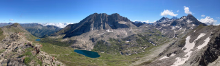
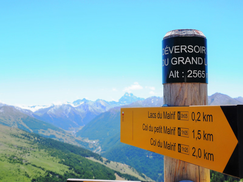
Prepare for an exceptional hike, undoubtedly one of the longest and most magnificent stages of the Tour du Queyras! Your adventure begins gently along a picturesque path overlooking the valley. You'll have the opportunity to pass through charming old hamlets before discovering the majestic "Grand Laus," one of the most beautiful alpine lakes, situated at nearly 2,600 meters altitude. From here, several options are available, with the possibility of reaching other picturesque lakes or climbing to the summits.
Depending on the comfort level chosen and the availability of accommodations, your final leg of the journey will be different:
• Room option (option 1): You can hike to the summits if you wish, then descend into the Guil Valley to discover the small village of Aiguilles where you will spend the night. Standard: +1,179 m, -1,105 m, 6.5 hours of walking; Strenuous: +1,431 m, -1,572 m, 7.5 hours of walking
• Dormitory option (option 2): From the lake, you cross the pass to descend into the valley and reach Fonds de Cervière. +1,245 m, -780 m, 7 hours of walking
Day 6 -
AIGUILLES (1,480 m) - COL DE LA CRECHE (2,284 m) - VILLE-VIEILLE (1,380 m)
- Activity Hiking
- Duration of the activity 5h30
- Positive elevation gain 648 m
- Negative elevation 722 m
- Breakfast included
- Lunch not included
- Dinner not included
OPTION 1 (Room Package): AIGUILLES (1,480 m) - ROUET (1,805 m) - CHÂTEAU-QUEYRAS - VILLE-VIEILLE (1,380 m)
You are about to embark on a truly delightful route: a balcony trail offering breathtaking views of the valley, with the discovery of charming perched hamlets in the Combe du Guil such as Meyries and Rouet. Don't hesitate to stop at the small cheese shop in Rouet before descending towards Château-Queyras, where you can admire its majestic fortress. For those seeking a more challenging hike, the Col de la Crêche offers a spectacular panorama of the Queyras region.
Distances - Elevation Gain - Walking Time - Technical Skills
Normal: +648 m, -722 m, 5 hours 30 minutes of walking
Athletic: +997 m, -1079 m, 7 hours 30 minutes of walking
OPTION 2 (Dormitory option): FONTS DE CERVIÈRES (2,040 m) - COL DE PEAS (2,629 m) - VILLE-VIEILLE (1,380 m)
The hike begins by leaving the refuge and heading towards the Col Péas pass. As you progress, the magnificent panorama of the Queyras region gradually unfolds. Following the path along an old canal, you eventually reach the majestic summit of the Col de la Crèche pass, perched at 2,284 meters. The view from this vantage point is simply breathtaking. It's the perfect spot to enjoy your picnic, with the valleys and peaks that have punctuated your week of adventure as your backdrop.
Distances - Elevation Gain - Walking Time - Technical Skills
+641 m, -1308 m, 6 hours of walking
Day 7
Note
Discover our day hikes, perfectly suited for hiking enthusiasts! Follow well-maintained, marked trails for a worry-free experience. If you prefer a more relaxed pace, we also offer easier options using our inter-village shuttle service at the beginning or end of your day's hike.
Your comfort is our priority. Should you experience fatigue or encounter challenging weather conditions, our local shuttles or Sherpa service are available to safely transport you back to your destination. Rest assured, we will be there for you throughout your journey, guiding and assisting you in any situation. Your adventure is our number one priority!
Each day, you can choose the difficulty level that suits you. Each individual assumes responsibility for their skill level, the weather conditions, and the effort required.
We pride ourselves on providing you with clear and accurate information so that you can plan your hike with confidence.
At the beginning of the season, the route may be adapted to the current snow conditions. We can suggest alternative routes to ensure a safe hike. The Italian border, between Saint-Véran and the Agnel refuge, is regularly snow-covered throughout June.
Accommodation
The base price for this stay is offered as follows:
- In a shared room in a gîte: You will sleep in shared rooms for 4 to 12 people, depending on the gîte. Towels and sheets are not included, so please bring a sleeping bag liner. The bathrooms are located on the landing.
- Comfort package for 2 people in a gîte (Days 1, 2, 3, 5, and 6): You will sleep in rooms for 2 people, equipped with a double bed, two single beds, or a bunk bed. Towels and sheets are not included; please bring a sleeping bag liner. Bathrooms are often located on the landing.
The base price for this stay is offered as follows:
- In a shared room in a gîte: You will sleep in shared rooms for 4 to 12 people, depending on the gîte. Towels and sheets are not included, so please bring a sleeping bag liner. The bathrooms are located on the landing.
- In the comfort option, a double room in a gîte: You will sleep in double rooms equipped with a double bed, two single beds, or a bunk bed. Towels and sheets are not included; please bring a sleeping bag liner. Bathrooms are often shared. In mountain huts, private rooms are available depending on availability and the season (additional €20 per person).
Access
If you arrive by car, on a weekday:
Meeting on day 1 between 2:30 pm and 5:30 pm at our offices.
Welcome to the collection of your travel documents.
If you arrive by train, or by car on the weekend:
Your file will be delivered to your accommodation. A telephone helpline will be available to answer your questions.
Go to the starting point
Travel by train to Montdauphin-Guillestre Station
Arrive easily from Paris by day or night train. Check the timetables on SNCF Connect. Alternatively, arrive at Oulx station by TGV, then transfer by taxi or coach (Information and booking: www.autocars-imbert.com).
For travelers coming from the south, take the Marseille-Briançon line. Enjoy the simplicity of rail travel to discover this superb destination.
From the train station to the meeting point
Regular shuttle services are available from late June to early September, although their schedules are not yet finalized. Please note that during the off-season, they may be less frequent or even unavailable. Please consult the regional website: zou.maregionsud.fr or call 0809.400.013 before booking your train tickets.
From the north, take the Lautaret pass via Briançon (RN 94) or Grenoble (RN 94/D902). Alternatively, from Grenoble, take the A51 motorway towards Gap, then the RN94 towards Guillestre (D902).
From the south, go via Valence or Sisteron, continue towards Gap, then Embrun, and finally Guillestre. Once in Guillestre, follow the signs for "Queyras" via the D902 and the D947.
Mountain landscapes await you on this road trip to Queyras!
Parking
Free parking at the start of the hike
Price details
The price includes
- Organization fees
- Half-board accommodation in a gîte or mountain refuge in a dormitory
- The provision of the digital hiking file
- "Base Camp": A unique support and information service managed by our experts
The price does not include
- Lunch (picnic lunch, to be booked in the options)
- Drinks and personal expenses
- Luggage transport (optional)
- Custom IGN map (optional)
- Personal equipment
- Insurance
- The “solo supplement” if you are travelling alone
- Anything not listed under "Price includes"
Options
- IGN map : CHF22.87 / unit
- Picnic : CHF71.35 / person
- Luggage transfer : CHF54.89 / person
- Extra night after half-board stay - Dormitory bed : CHF48.48 / unit
- Additional night after your stay - Double or twin room in a hotel : CHF162.83 / unit
- Additional night after half-board stay - Double or twin room in a gîte : CHF115.26 / unit
- Flex fare and insurance
Practical information
Specific formalities
Specifics
Before your departure, check with the embassy or consulate regarding the entry and stay requirements for your destination country. You can also find this information on the France Diplomatie website ( https://www.diplomatie.gouv.fr/fr/dossiers-pays/ ).
In the case of flights with stopovers operated by different airlines, also check the entry requirements of the countries you are transiting through.
It is your responsibility to ensure you are in compliance, particularly regarding the validity of your identity documents (for example, some countries require your passport to be valid for at least six months after your return) , visa requirements, necessary vaccinations, and health recommendations. And don't forget to consider any customs restrictions and other potential requirements of your destination or transit country.
ℹ️ Information may change up to the departure date, remember to regularly check official websites.
Equipment
Equipment provided on site
Digital file :
- The provision of our assisted guidance application "Roadbook" for all participants, including route, map background, real-time location, points of interest, variants.
- Your travel itinerary will be printed in PDF format, including map excerpts of your route. We will also provide you with the following in paper format: • Vouchers or exchange vouchers that you will need to give to the various service providers (accommodation, taxis, etc.)
- A cultural guide, prepared by us, describing the local heritage.
In addition, you can ask us :
- Sending the GPS track in *gpx format (Format compatible with all types of GPS or smartphones)
- Printing your route book. Optional extra: provision of an IGN map adapted for hiking, including the route marked. This can be a 1:30,000 scale IGN map or two IGN Top 25 Queyras maps.
- The mobile app: your travel companion. It gives you access to detailed maps of the route (with Openmap basemap), the route track, and points of interest to explore along your hike. Easy to use, it geolocates you and guides you in real time during your adventure. Once the route is downloaded, the app operates in airplane mode, thus preserving your phone's battery. You can activate it at the start of your hike or along the way to check your position. For safety reasons, we recommend having a small external battery pack handy, as charging phones in mountain huts may not be possible.
Equipment to bring
Required equipment
- 1 backpack of 30 to 35 liters with a soft frame
- 1 pair of hiking shoes
- 1 large plastic bag to protect the inside of the backpack
- 1 water bottle or hydration pack and/or thermos for a hot or cold drink
- 1 small airtight plastic container, cup, knife and fork for picnics
- 1 small pouch to put your money, identity card, bank card, health insurance card, assistance contract (the rest of your documents can be left at the hotel during your stay)
1 survival blanket
For the evening at the accommodation
- 1 swimsuit (depending on the accommodation)
- 1 sleeping bag liner (mandatory in all accommodations except hotels).
Clothing to bring
For your comfort and safety, bring warm , rainproof and quick-drying clothing.
Depending on the weather and the effort involved, bring spare clothes (warm clothes, t-shirt, pairs of socks...).
Important accessories: cap, sunglasses, sunscreen, beanie, windbreaker and rain cape.
They traveled with us