In summary
-
Sports
-
Duration6 days
-
LevelIntermediate
-
DestinationSouth Corsica / Propriano
-
AgeFrom 8 - 90 years
-
CO₂-Emissions75.65 kg CO2
-
Type of stayIndependent traveler
In a few words
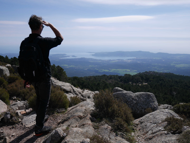
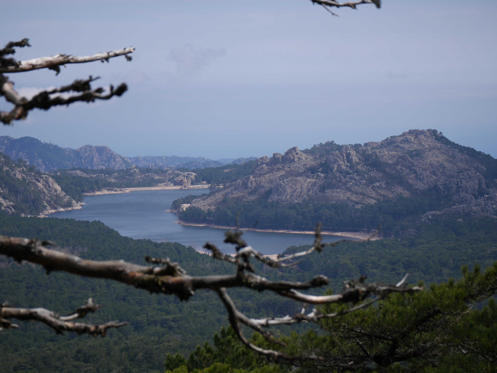
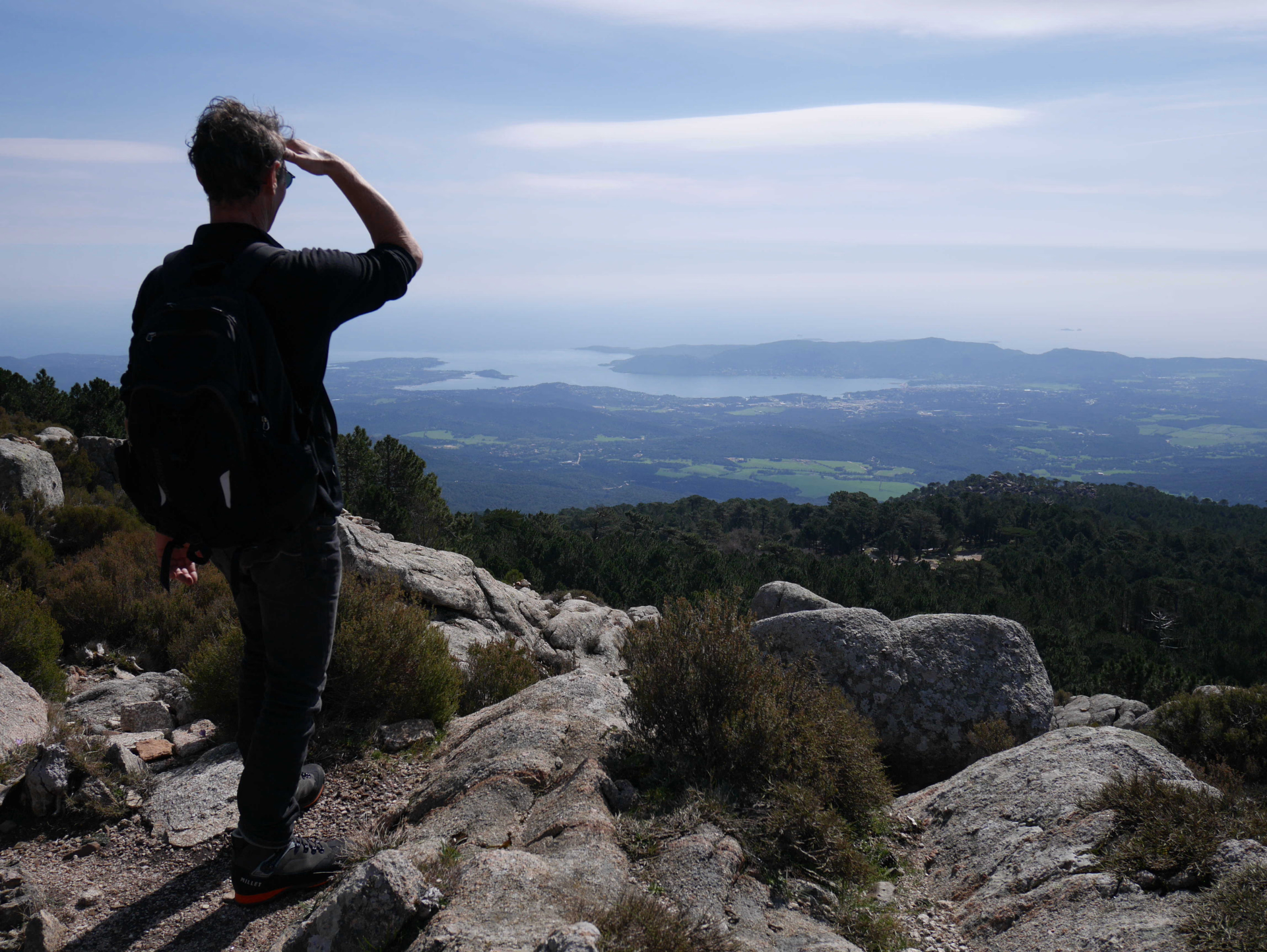
This mid-mountain hike, accessible to all, takes you to discover one of the most emblematic regions of Corsica. Between tradition and magnificent landscapes, the route winds through the southernmost part of the island, offering a unique immersion in the heart of Alta Rocca .
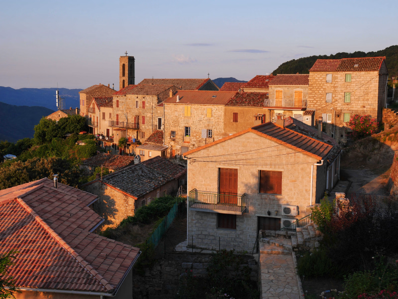
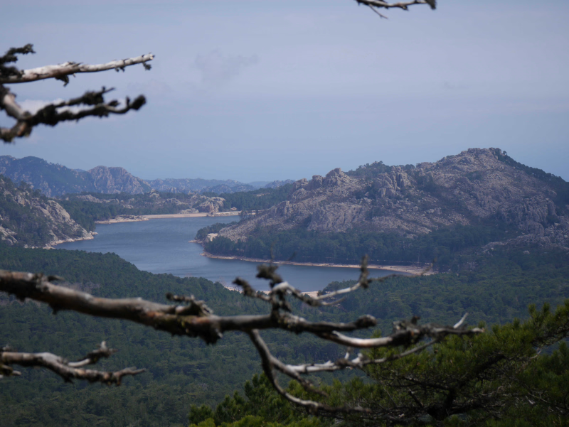
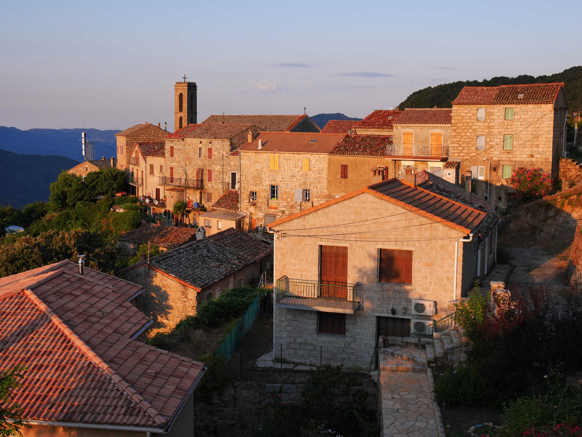
Starting from the Gulf of Valinco , from the seaside town of Propriano (an hour from Ajaccio and Figari airport), you'll reach this hilly region, perched at an altitude of approximately 800 meters. Covered in dense forest , it shelters numerous typical villages with granite houses, nestled at the foot of the Bavella and Alcudina massifs (2,104 m), crossed by the legendary GR20 long-distance hiking trail. The pleasant, shaded paths offer varied hiking, far from overly rocky terrain. Each evening, you'll stop in a charming village , where you'll have the opportunity to sample local specialties and enjoy Corsican hospitality in a warm and welcoming atmosphere.
The highlights
-
A journey from Propriano to Propriano
-
The sea and the mountains within easy reach
-
Luggage transport included
Photos
Sport
Level
Hiking / Trekking
The expert's opinion
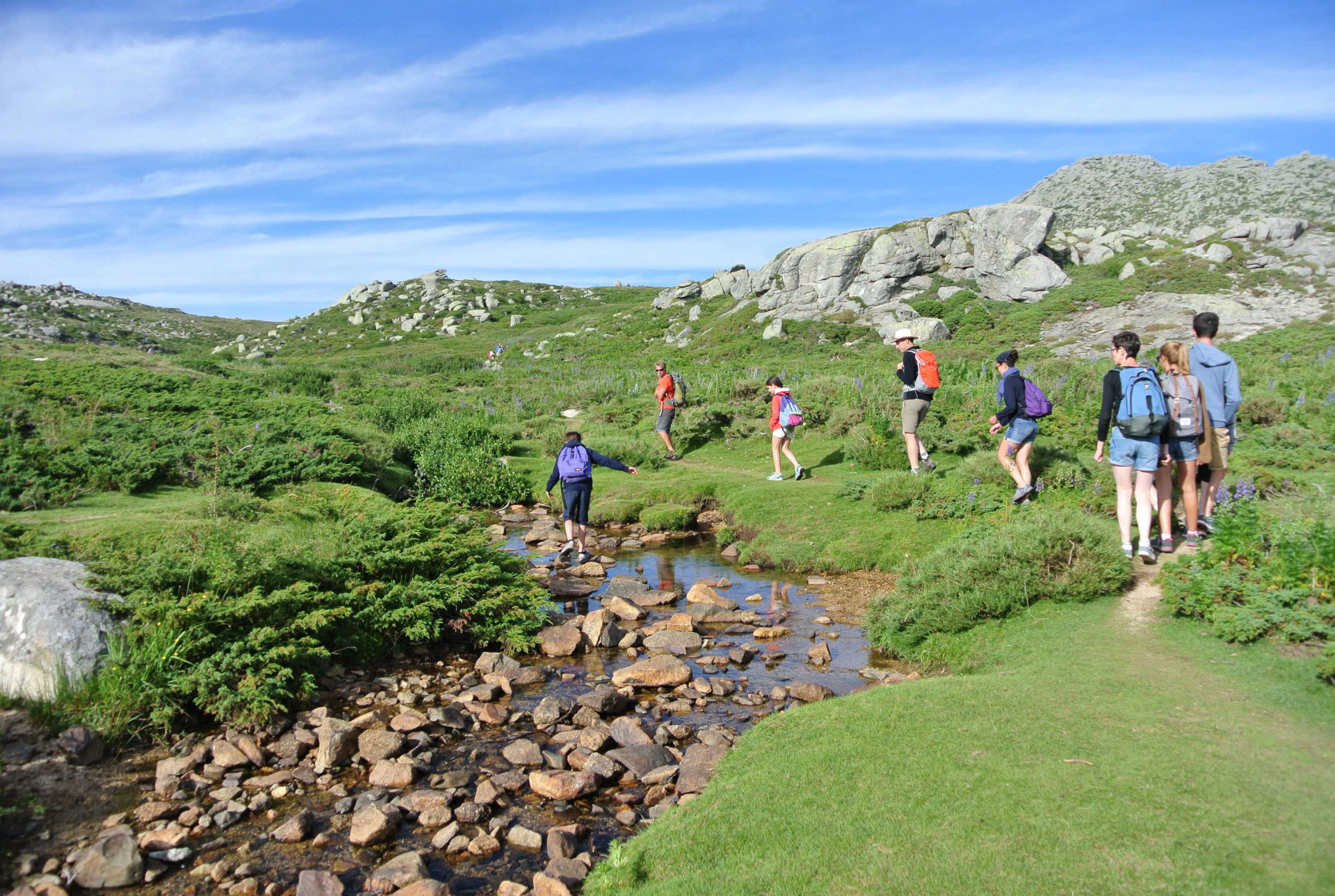
On the Mare a Mare Sud trail, the paths are shaded and have few stones. However, the hilly terrain requires a good level of fitness.
In figures
Hiking
- Average duration/day: 5h
- Average distance/day: 13 km
- Average daily elevation gain: 612 m
- Average daily descent: 588 m
Management
Program
-
Propriano
- Accommodation 2-star hotel
- Breakfast not included
- Lunch not included
- Dinner not included
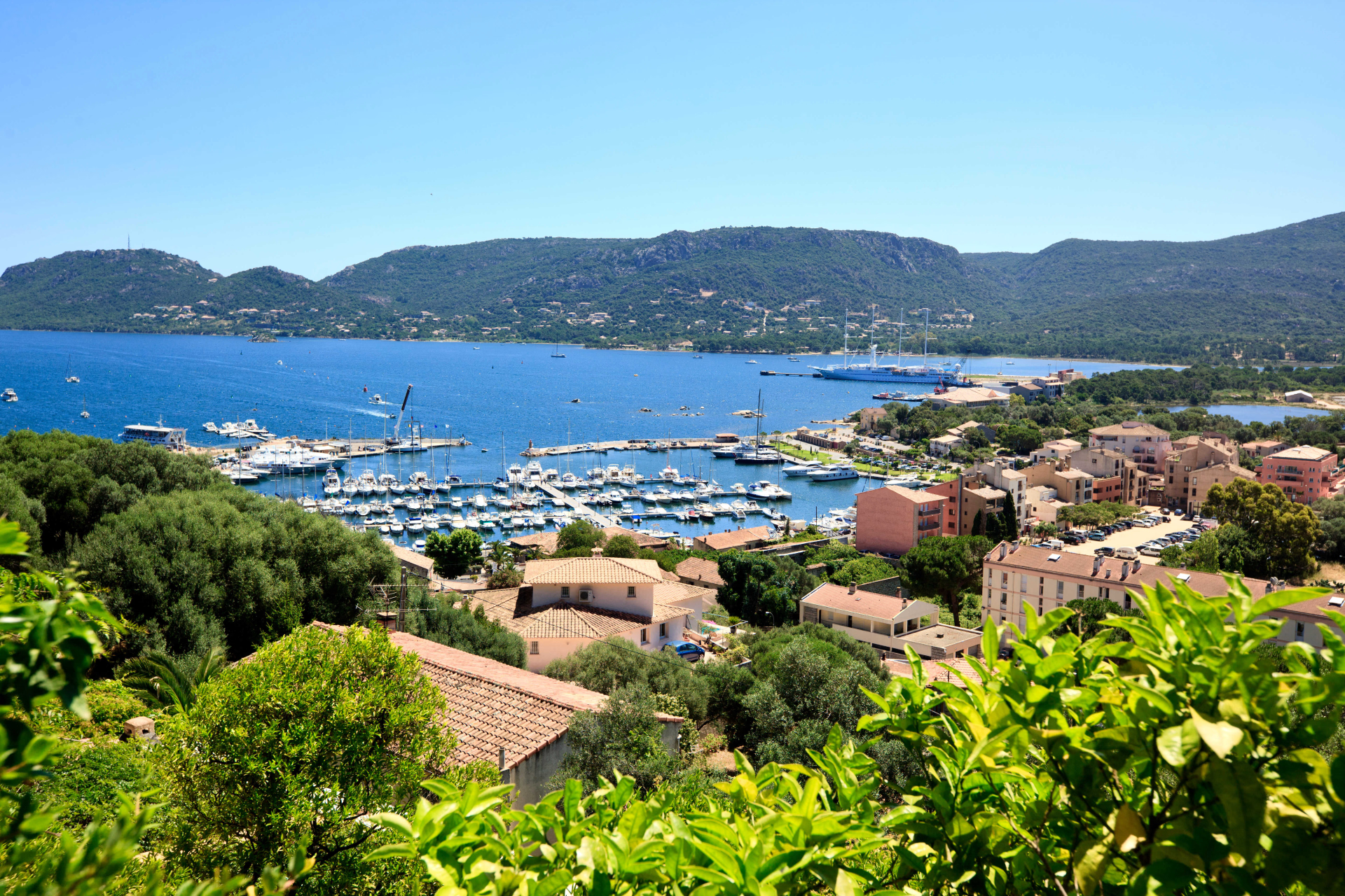
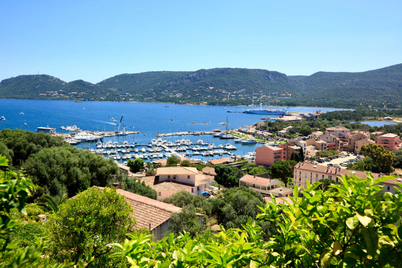
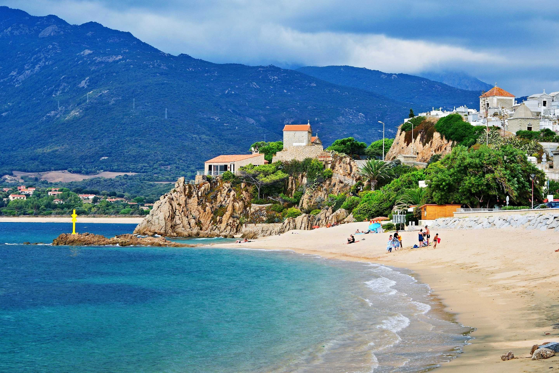
Check into your hotel** in the heart of the seaside resort of Propriano. Located at the head of the Gulf of Valinco, this lively town boasts numerous easily accessible beaches. We can suggest a swim at Baraci Beach, Purraja Beach, or Capu Laurosu Beach. You can also enjoy the many restaurants and bars that enliven the marina.
Day 1 -
Propriano - Carbini - Levie
- Transportation Car - 00h35 - 25km
- Activity Hiking
- Duration of the activity 5h
- Distance 12 km
- Positive elevation gain 600 m
- Negative elevation 400 m
- Accommodation Cottage
- Breakfast included
- Lunch not included
- Dinner included
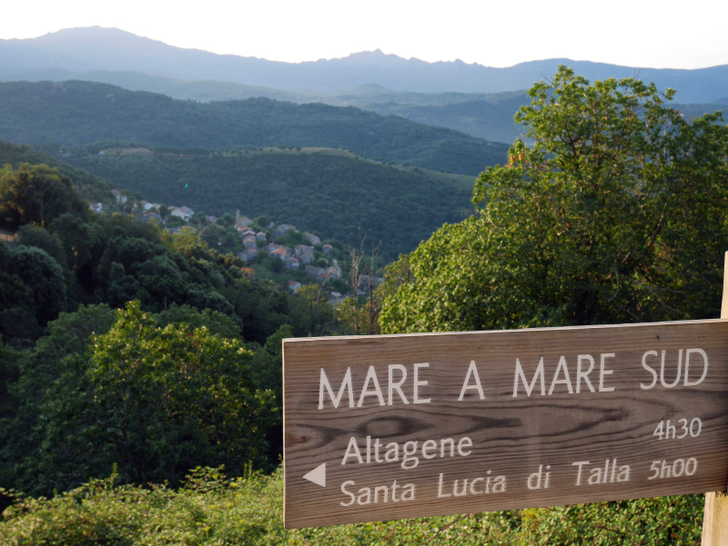
The taxi will pick you up at 9:00 AM and take you to the starting point of the hike, in the heart of the Valdu Grossu forest. The trail climbs above the hamlet of Pantano and reaches a high plateau leading to the beautiful village of Carbini. Here you will rejoin the Mare a Mare Sud trail. In Carbini, you can follow in the footsteps of the Giovanalli before continuing your hike towards Levie.
Day 2 -
Levie - San Gavino di Carbini - Zonza
- Activity Hiking
- Duration of the activity 5h
- Distance 14 km
- Positive elevation gain 590 m
- Negative elevation 510 m
- Accommodation 3-star hotel
- Breakfast included
- Lunch not included
- Dinner included
Following the orange markers of the Mare a Mare Sud trail, you will reach the Cucuruzzu and Capula sites. We invite you to visit this historical site (entrance fee required), which offers a fascinating journey through history, from prehistory to the Middle Ages. After this exploration, the trail climbs back up towards the charming village of San Gavino di Carbini, before leading you to Zonza, nestled at the foot of the majestic Bavella Needles.
Day 3 -
Zonza - Quenza - Ghjalicu - Aullène
- Activity Hiking
- Duration of the activity 5h
- Distance 14 km
- Positive elevation gain 590 m
- Negative elevation 510 m
- Accommodation Cottage
- Breakfast included
- Lunch not included
- Dinner included
You leave the village of Zonza, which offers superb views of the Aiguilles de Bavella, and then descend into a dense forest along a pleasant path leading to the village of Quenza. From there, you follow an old shepherd's trail that climbs towards the alpine pastures and the hamlet of Ghjalicu, before reaching Aullène. Overnight in Aullène.
Day 4 -
Serra di Scopamena - Col de Tighjarellu - Ste Lucia de Tallano
- Activity Hiking
- Duration of the activity 5h
- Distance 10 km
- Positive elevation gain 570 m
- Negative elevation 800 m
- Accommodation Cottage
- Breakfast included
- Lunch not included
- Dinner included
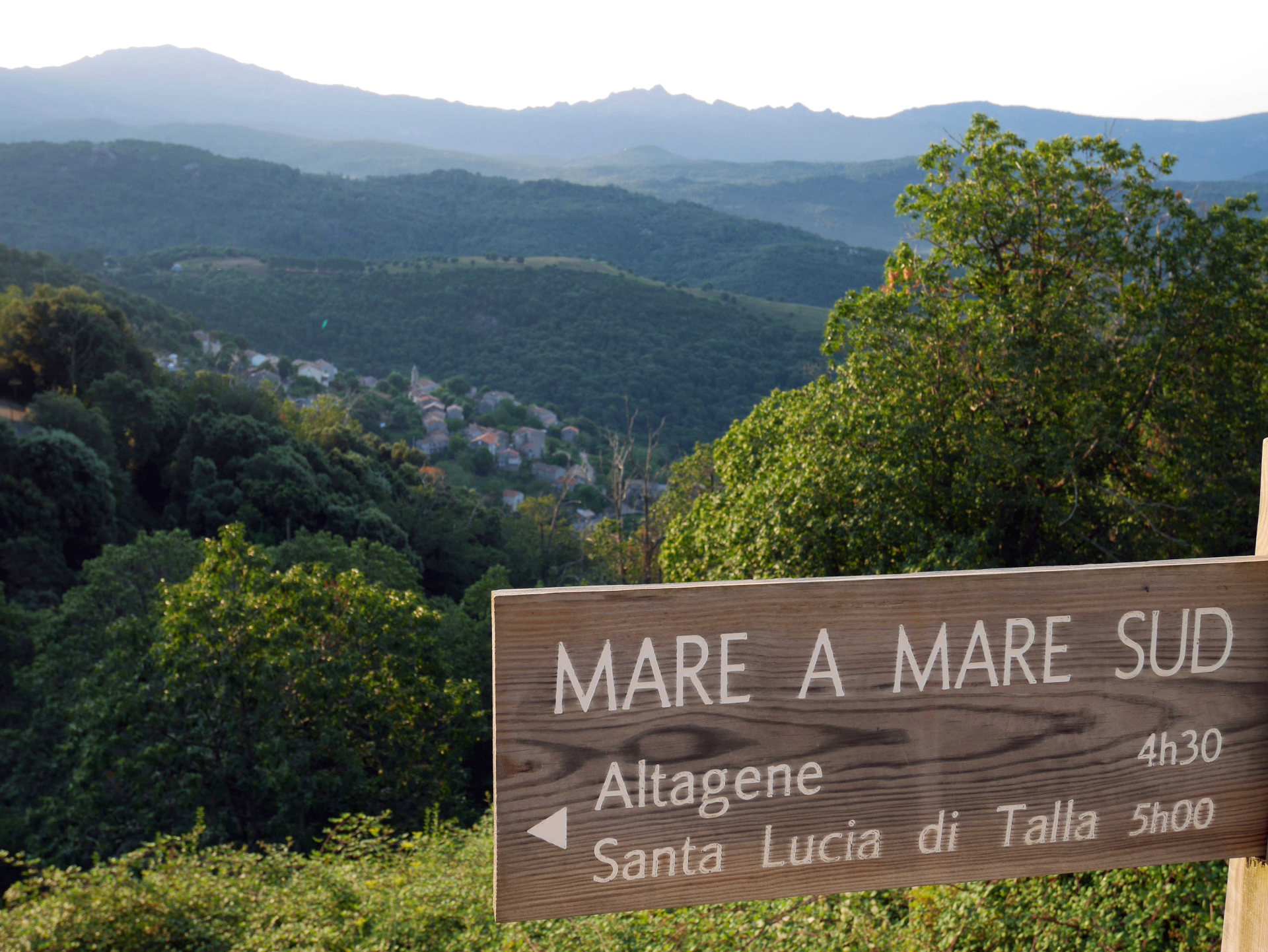
A long descent, winding between chestnut and oak trees, leads to the Rizzanese River and its pools. After the Tighjarellu pass, the route passes through the village of Altagene and then on to Sainte Lucie de Tallano. This region is renowned for its olive oil and mills. Overnight stay in Sainte Lucie de Tallano.
Day 5 -
Saint Lucy of Tallano - Fozzano - Propriano
- Transportation Car - 00h20 - 13km
- Activity Hiking
- Duration of the activity 5h
- Distance 12 km
- Positive elevation gain 710 m
- Negative elevation 720 m
- Breakfast included
- Lunch not included
- Dinner included
After passing through Loreto di Tallano and the ruins of Altanaria, you'll arrive in Fozzano. There, you can admire its famous 15th-century tower and then visit the house of Colomba, the heroine of Mérimée's novel. At 3:00 PM, you'll be transferred by taxi to Propriano to avoid walking on the road.
Day 6
Accommodation
Access
You can take a public bus (note that there are no buses on Sundays and public holidays outside of July and August) to Ajaccio, Bonifacio or Porto-Vecchio.
Go to the starting point
From Ajaccio airport, a shuttle bus runs every 15 minutes to Ajaccio train station. You can also take the Eurocorse bus to Propriano – timetables are available on the website https://www.isula.corsica/VIA-STRADA-VIA-MARE-Trasporti-di-passageri_a1607.html
From Figari Airport, you can take a taxi to Porto-Vecchio. You can also take the Eurocorse bus to Propriano – find the timetable on the website https://www.isula.corsica/VIA-STRADA-VIA-MARE-Trasporti-di-passageri_a1607.html
From Ajaccio, you can take the Eurocorse bus to Propriano - find the timetable on the website https://www.isula.corsica/VIA-STRADA-VIA-MARE-Trasporti-di-passageri_a1607.html
From Porto-Vecchio, you can take the Eurocorse bus to Propriano - find the timetable on the website https://www.isula.corsica/VIA-STRADA-VIA-MARE-Trasporti-di-passageri_a1607.html
Price details
The price includes
- Shared dormitory accommodation
- Dinners on Day 2, Day 4 and Day 5
- The local transfers necessary for the smooth running of the program
- Luggage transport
- The travel file with IGN maps
- A travel diary
The price does not include
- Transportation to the departure point of the trip
- Lunches/picnics on Day 1 and Day 3
- Drinks
- Site visits
- Insurance
- Application fees
Options
- Flex fare and insurance
Practical information
Specific formalities
Specifics
Before your departure, check with the embassy or consulate regarding the entry and stay requirements for your destination country. You can also find this information on the France Diplomatie website ( https://www.diplomatie.gouv.fr/fr/dossiers-pays/ ).
In the case of flights with stopovers operated by different airlines, also check the entry requirements of the countries you are transiting through.
It is your responsibility to ensure you are in compliance, particularly regarding the validity of your identity documents (for example, some countries require your passport to be valid for at least six months after your return) , visa requirements, necessary vaccinations, and health recommendations. And don't forget to consider any customs restrictions and other potential requirements of your destination or transit country.
ℹ️ Information may change up to the departure date, remember to regularly check official websites.
Equipment
Equipment to bring
- A pouch to wear around your neck or on your belt for your passport and/or identity card, your driving licence, your vaccination record, your European Health Insurance Card, your travel insurance leaflet, your currency, your credit card and your personal papers.
- Medium-sized plastic container with plastic cutlery for transporting salads.
- Plastic bags to ensure the watertightness of your belongings, cameras and clothes.
- Dirty laundry bag
- Earplugs, always useful!
- Notepad and pen, book, deck of cards,
- Walking sticks.
- Pair of binoculars,
- Camera,
- Fins, mask and snorkel,
- Mobile phone,
- Toiletry bag,
- Bath towel,
- Pair of sunglasses,
- Sunscreen cream (face and lips),
- Flashlight or headlamp with spare batteries,
- A 1.5-liter minimum water bottle, lightweight and insulated. You can also bring a 2-liter hydration bladder. The latter has the advantage of allowing direct drinking thanks to its drinking tube. You therefore don't have to take off your backpack to grab the bottle. This way, you drink more regularly and in small amounts, which is recommended for proper hydration.
Tip: Having two containers allows you to consume one while the other is being processed.
- A multi-purpose pocket knife is preferable (to be put in checked baggage if you are flying).
- Toilet paper and a lighter,
- Hygienic gel
- For sleeping in a gîte: sleeping bag liner (sleeping bag sheet)
Clothing to bring
Clothing, from head to toe:
- Hiking boots. They are a hiker's best friend. They must possess three qualities: sturdiness, good foot and ankle support (high-top boots), and waterproofing. Choose boots with non-slip and relatively rigid soles, such as Vibram.
- Light shoes (tennis shoes or sandals) to wear in the evening in towns and villages.
- Swimming shoes,
- Underwear. It's the first layer of insulation you'll have, so take good care of it! Thin technical fibers, like Carline or Polartec, are very effective, warm, flexible, comfortable, and lightweight. They dry very quickly.
- Hiking pants,
- Shorts,
- Fleece jackets. These are durable, warm, lightweight, and quick-drying. The most suitable, well-known to mountaineers, are those made with Polartec, Carline, and Ulfrotté fibers.
- T-shirts (technical preferred),
- Rain cape or waterproof jacket (Gore-tex type),
- Hat,
- Pair of gloves and hat (depending on the season),
- Swimsuit and bath towel,
They traveled with us