Hiking in the Jura Mountains
In summary
-
Sports
-
Duration6 days
-
LevelIntermediate
-
DestinationBurgundy-Franche-Comté / Jura
-
AgeFrom the age of 18
-
CO₂-Emissions50.91 kg CO2
-
Type of stayIn a group
-
Languages
 French
In a few words
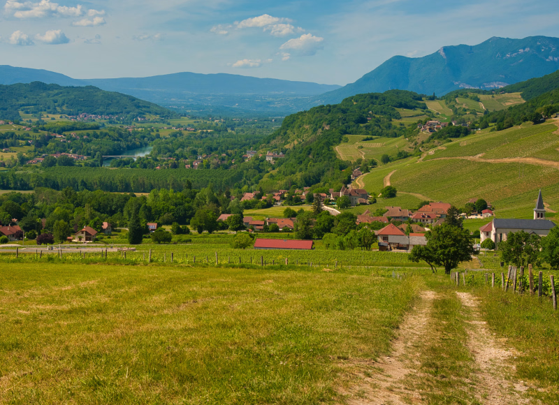
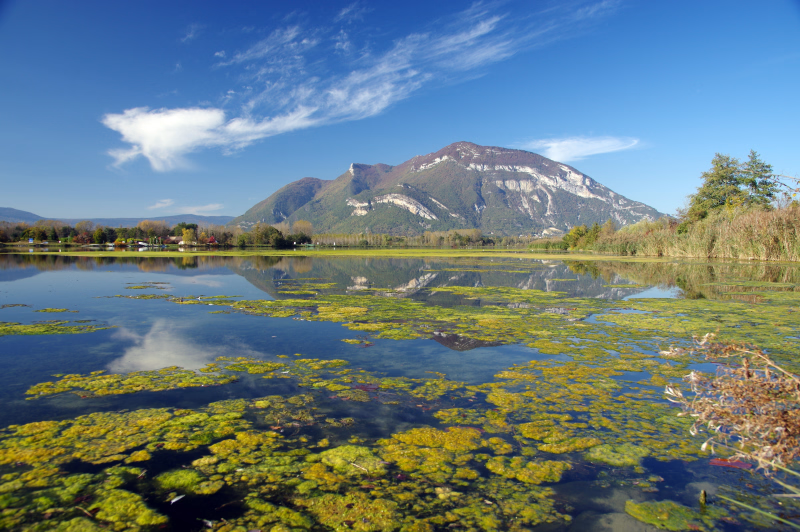
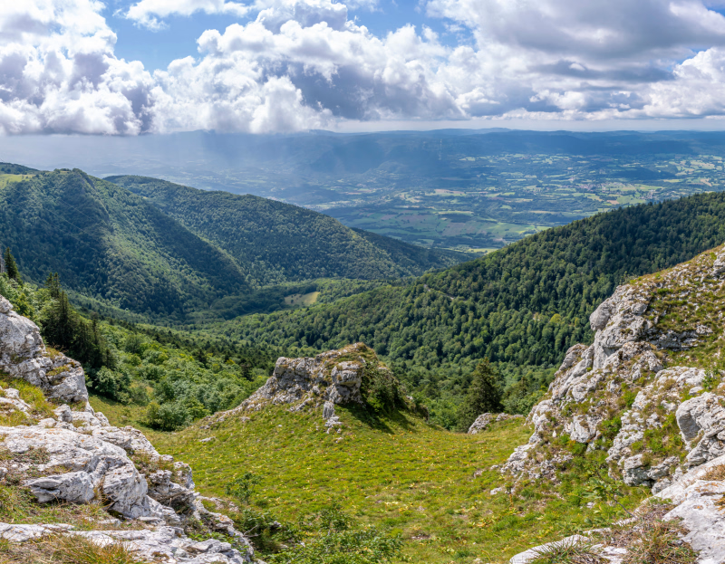
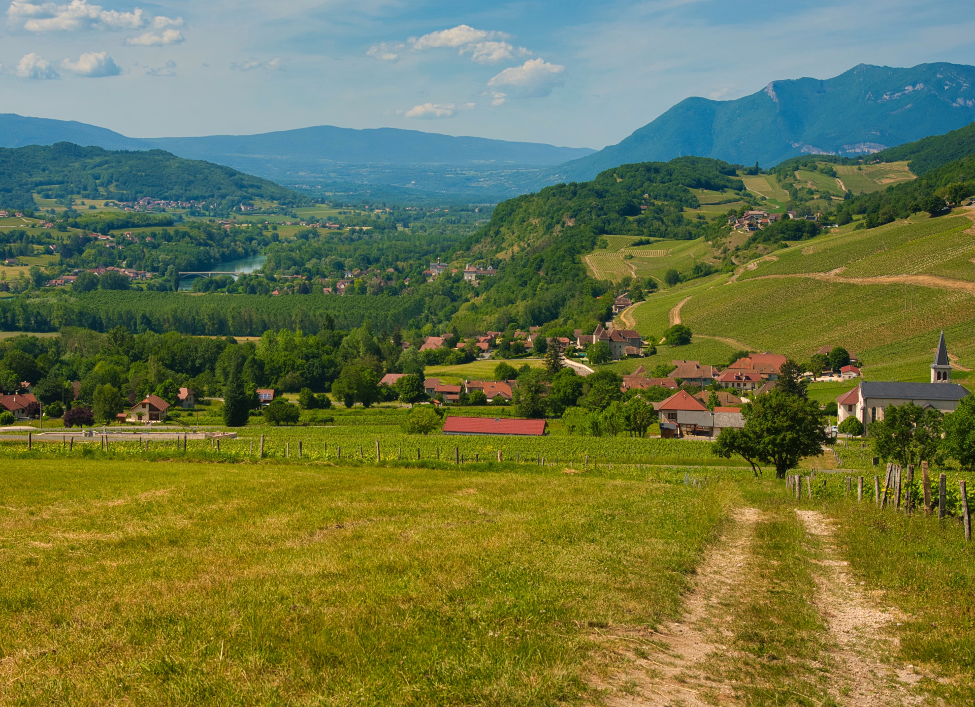
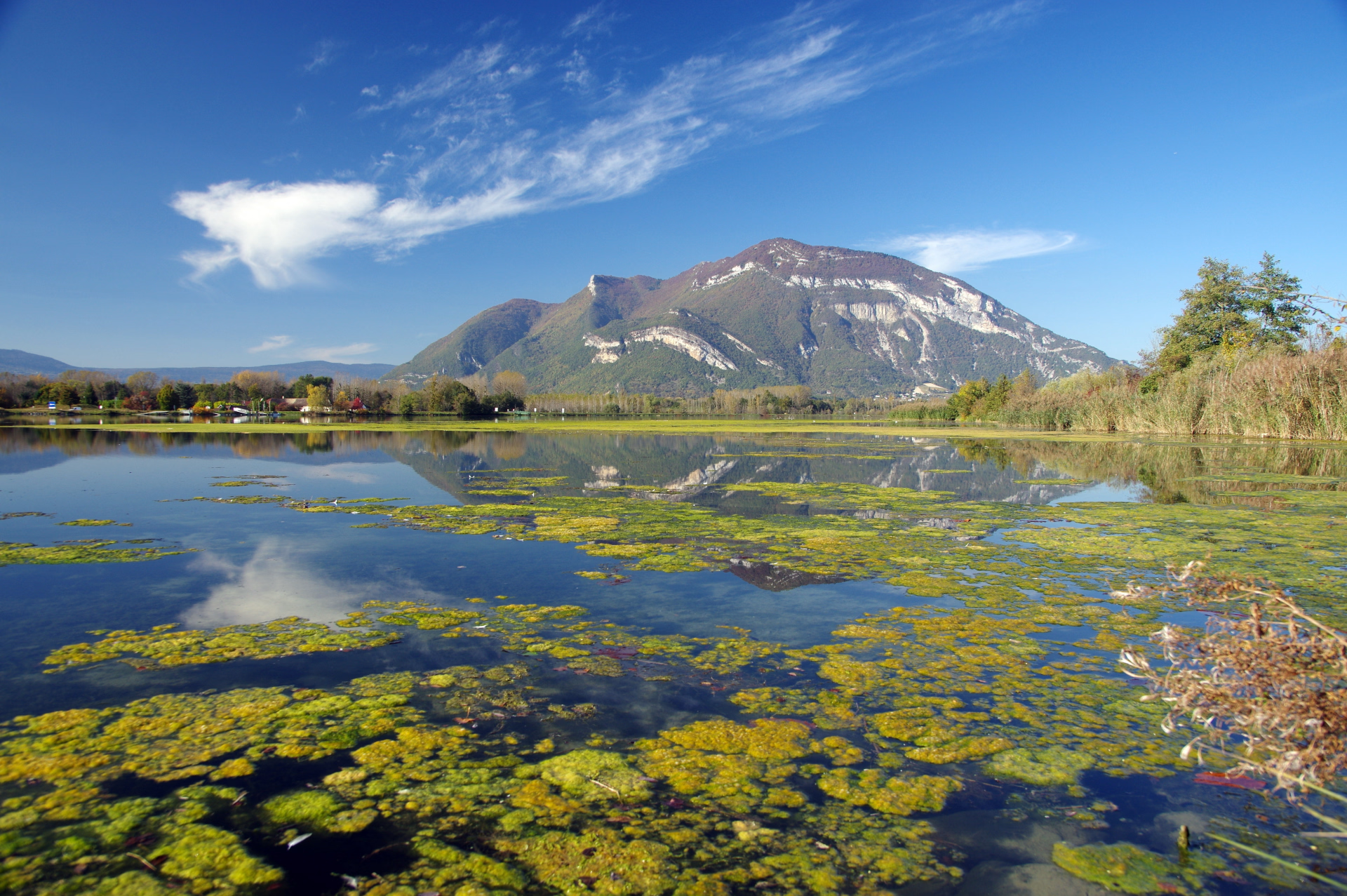
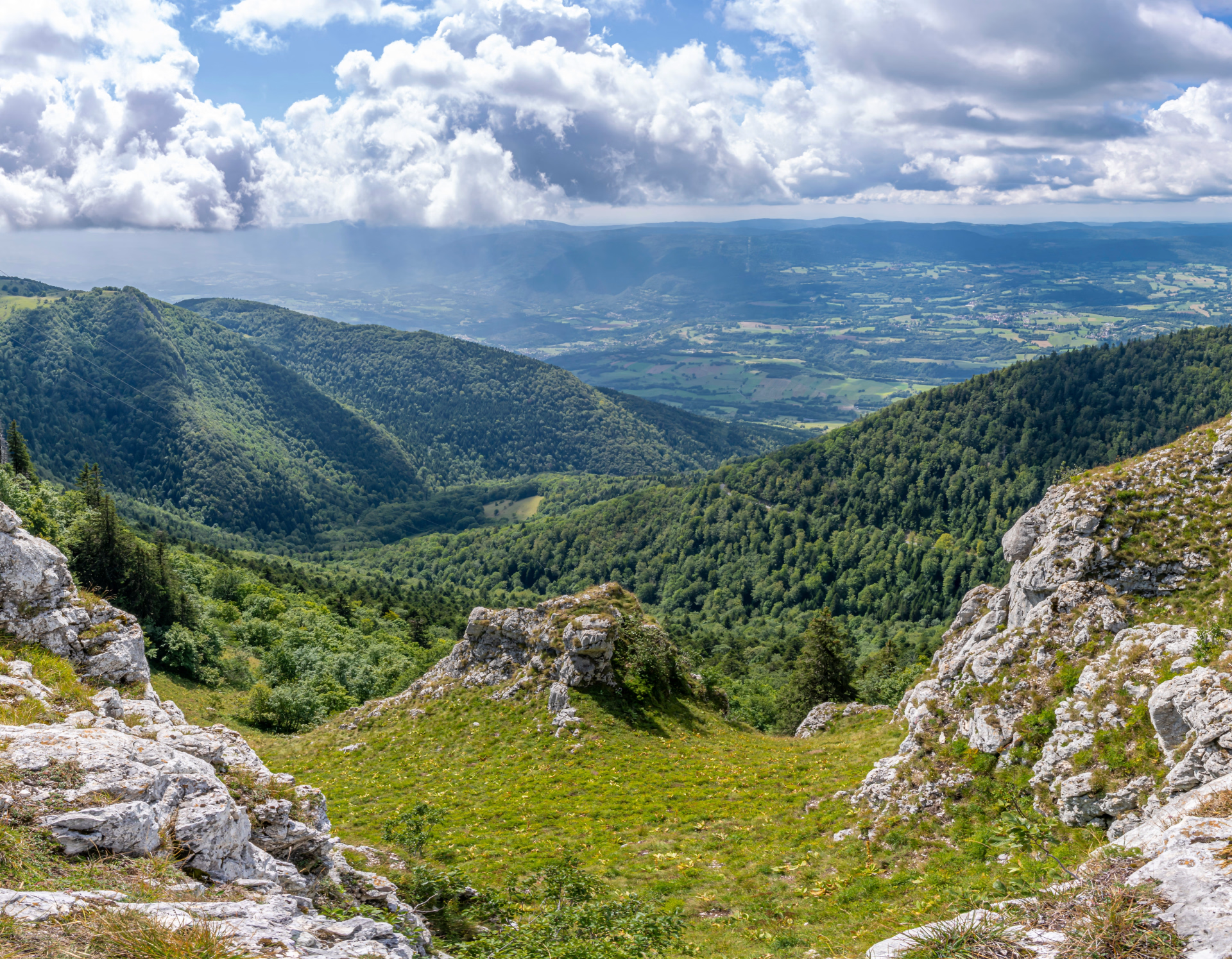
Embark on a wild escape to Valromey , in the heart of the Haut Bugey massif , at the southern end of the Jura. This preserved region, shaped by glaciers and dominated by the Grand Colombier (1531 m), invites you on an accessible multi-day hike , between deep forests , wild valleys , green alpine pastures and picturesque hedgerows .
Far from the hustle and bustle, Valromey captivates with its rural authenticity , its understated heritage , and its breathtaking panoramas of the Alps. Each day reveals a contrasting landscape and a bucolic atmosphere perfect for disconnecting.
The simple yet welcoming accommodation reflects the spirit of the region: dormitories nestled in nature , a forest refuge , and a traditional village offer an environment conducive to sharing and immersion. Led by a passionate guide, this trip will lead you to discover a discreet yet captivating mountain range , where nature and culture meet in harmonious balance.
The highlights
-
A preserved and wild mountain range, a natural escape
-
Easy TGV access (2 hours 30 minutes from Paris) with pick-up and drop-off at Belleg station
-
The stay will be supervised by a local mountain guide.
Photos

Sport
Level
Hiking / Trekking
In figures
Hiking
- Average duration/day: 1h30
- Average distance/day: 5 km
- Average daily elevation gain: 142 m
- Average daily descent: 215 m
Management
French
State-certified mountain guide, specialist in the Bugey region.
As a mountain professional, he is committed to:
- Manage the progress of your hike in the best possible way and in complete safety: choice of route, pace of progression, logistics, health, adaptation to weather hazards and snow conditions.
- To ensure the dynamics and cohesion of the group.
- To make it easier for you to approach the mountain environment and to passionately share its knowledge of nature with you.
- To be available and attentive to your needs.
Program
-
Pré Carré Loop
- Activity Hiking
- Accommodation Cottage
- Breakfast not included
- Lunch included
- Dinner included
Meet at Bellegarde-sur-Valserine train station. Transfer by minibus (reservation required at registration) to the gîte where we are staying in the small resort of Les Plans d'Hotonnes.
For this first day, we will explore the area around the small ski resort of Les Plans d'Hotonnes. Located on the Retord plateau, one of the last plateaus of the Jura massif, well known to cross-country skiing and biathlon enthusiasts, it has produced several champions and numerous medals.
A landscape of alternating forests and alpine pastures on the edge of the lands that once belonged to the Arvières Charterhouse. History will be very much present, with farms that served the French Resistance during the Second World War. The herds will be there, and perhaps we'll even see traces of the wolf?
Distances - Elevation Gain - Walking Time - Technical Skills
10 km, +250 m / -250 m, 3 hours of walking
Day 1 -
The Retord plateau
- Activity Hiking
- Accommodation Cottage
- Breakfast included
- Lunch included
- Dinner included
A day spent discovering the hidden treasures of the plateau, nestled between forests and alpine pastures. A day that holds a few gems, including the plateau's old chapel in a pristine natural setting. History will be on full display, along with panoramic views of the Alps and Mont Blanc, and even cinematic connections, as scenes from films such as "The Fox and the Child" and "Lucie Aubrac" were shot here.
Distances - Elevation Gain - Walking Time - Technical Skills
15 km, + 320 m / - 320 m, 5 hours of walking
Day 2 -
Songieu - Chartreuse d’Arvière
- Activity Hiking
- Accommodation Cottage
- Breakfast included
- Lunch included
- Dinner included
We will travel through hills and valleys
We set off early for a short transfer by minibus to get to the starting point of the hike.
Today we are climbing the slopes of the massif, heading towards the Chartreuse mountains via some paths along ridges or in hidden valleys.
A route steeped in the history of the Ain resistance fighters, and then the even older history of the Chartreuse mountains. Here we will be in the heart of the Grand Colombier massif.
This will be an opportunity to talk about the role played by the Ain resistance groups during the war.
Then we will pass by the site of the Carthusian cemetery where the ruins of an old chapel are located before reaching the site of the charterhouse itself, a wild, isolated place ideal for contemplative life.
Nestled at the end of a valley, like an eagle's nest and overlooking the valley, the Arvière refuge will welcome us for 2 nights so that we can explore this territory.
Distances - Elevation Gain - Walking Time - Technical Skills
11 km, + 570 m / - 500 m, 5 hours of walking
Day 3 -
The Arvière Loop - On Lyand
- Activity Hiking
- Duration of the activity 5h
- Distance 16 km
- Positive elevation gain 600 m
- Negative elevation 600 m
- Accommodation Refuge
- Breakfast included
- Lunch included
- Dinner included
Panoramic day on the roof of Bugey.
Today a hike full of panoramic views of the Alps and the Valromey.
We will leave the Combe des Chartreux to reach the Sur Lyand plateau, where we can admire the exceptional view of the Rhône, the Mont Blanc massif and the summit of the Grand Colombier, very close by.
We will reach alpine pastures via a ridge overlooking the Chartreuse mountains, often offering views of Mont Blanc. The plateau is dotted with a few farms with typical architecture and dolines, those sinkholes found in limestone regions.
Depending on the group's level and the time, we may make a final climb on a small, wild, panoramic and aesthetic ridge to return to the refuge.
Night at the Arvières refuge.
Day 4 -
The Grand Colombier
- Activity Hiking
- Accommodation Refuge
- Breakfast included
- Lunch included
- Dinner included
We arrive at the roof of the Bugey.
From the Arvière refuge and a few hills we will reach the summit of the Grand Colombier (1525m) from where we will enjoy a magnificent view of the Alps, the Bugey and Lake Bourget.
We will return to the refuge via a wild valley with magnificent trees.
Night at the refuge.
Distances - Elevation Gain - Walking Time - Technical Skills
10 km, + 450m / - 450m, 4 hours of walking
Day 5 -
Arvière - Brénaz
- Activity Hiking
- Duration of the activity 3h
- Distance 10 km
- Positive elevation gain 250 m
- Negative elevation 690 m
- Breakfast included
- Lunch included
- Dinner not included
A short trip to Valromey Today we leave the Chartreuse and its isolation to descend back into Valromey.
We will cross the Chartreuse forest, where there is a presidential fir tree and the cave where Saint Arthaud took shelter before the founding of the charterhouse in 1122.
It is after the correrie, a true border between the monastic and secular world, that we will arrive in the charming village of Lochieu where we will visit the Bugey Valromey museum, then we will set off again through a bucolic landscape, passing through some small villages to find the minibus which we will take back to the station.
Dispersal at Bellegarde station.
Distances - Elevation Gain - Walking Time - Technical Skills
10 km, +250m / -690m, 3 hours of walking
Day 6
Note
The times were calculated based on a pace of 300 meters of elevation gain per hour uphill, 500 meters of elevation loss per hour downhill, and 4 km per hour on flat terrain, in order to allow for a comparison of the different hikes on the same basis. They only include actual walking time; all meal breaks, rest stops, or periods of quiet contemplation must be added.
We may sometimes need to slightly modify the indicated itinerary: either due to organizational issues (overbooked accommodations, splitting groups, changes in trail conditions, etc.) or directly at the guide's discretion (weather, group level, etc.). Rest assured, these modifications are always made in your best interest, for your safety and comfort!
Accommodation
Access
Day 6 at 5 p.m. in Bellegarde-sur-Valserine or around 4 p.m. in front of the car park. Return transfer to the train station at 5 p.m.
Go to the starting point
Meet at Bellegarde-sur-Valserine station.
Transfer from the station at 11:30 am if you have booked the shuttle.
Reservation upon registration.
Plans d'Hotonnes station, meeting at 12pm
If you are arriving late: On the day, in case of a last-minute delay, please contact us on 04.51.20.50.50.
Price details
The price includes
- Organization and supervision costs
- Food and full board accommodation
- The transfers planned in the program
- Towels
The price does not include
- Drinks and personal expenses
- Personal equipment
- The journeys to and from the reception location.
- The different types of insurance: Cancellation and/or Search and Rescue Costs - Assistance - Repatriation - Trip Interruption
- Anything not listed under "The price includes"
Options
- Transfer between the train station and the accommodation (round trip) : CHF27.44 / reservation
- Flex fare and insurance
Practical information
Specific formalities
Specifics
Average elevation gain: 500 m Maximum elevation gain: 600 m
Average length: 12 km Maximum: 15 km
Average time: 5 hours Maximum: 5 hours 30 minutes
The walking pace is slow and steady, the discovery aspect is prioritized over the sporting aspect.
Equipment
Equipment to bring
- 1 backpack of 35/40 litres with a flexible frame, equipped with a waist belt
- 1 large plastic bag to protect the inside of the backpack
- 1 pair of excellent quality sunglasses with side protection
- 1 water bottle (1.5 liters minimum)
- 1 Opinel-type pocket knife
- 1 small pouch (preferably waterproof) to hold your money, ID card, health insurance card and assistance contract
- Sunscreen + lip balm
- Cup, pair of cutlery
- Camera, binoculars (optional)
- A pair of poles is recommended.
- A sleeping bag liner
- 1 swimsuit (optional)
- Toiletries (opt for the essentials, small sizes, samples and travel kits)
- 1 pair of comfortable trousers
- 1 pair of lightweight casual shoes
- Earplugs or earplugs (optional)
- 1 headlamp or flashlight
- A tick remover
- Your usual medications
- Throat lozenges
- Sets of adhesive bandages + disinfectant compresses
- Double skin (like Compeed or SOS blisters)
- 1 pair of tweezers
Clothing to bring
- A long-sleeved undershirt made of breathable material (hollow fiber).
- A warm fleece jacket.
- A windproof, waterproof and breathable Gore-Tex type jacket.
- Choose quick-drying clothes , so avoid cotton. Opt for wool (merino wool underwear is comfortable and doesn't develop unpleasant odors), silk, and synthetic fibers that will keep you dry and warm for as long as possible.
- 1 sun hat or cap.
- 1 scarf or neck warmer.
- Short-sleeved T-shirts made of breathable material are preferred.
- 1 long-sleeved undershirt in breathable material or a shirt.
- 1 fleece jacket.
- 1 windproof, waterproof and breathable Gore-Tex type jacket with hood.
- 1 rain cape or a bivvy bag if you own the jacket above.
- 1 pair of loose-fitting trekking trousers.
- 1 pair of shorts or bermudas.
- One pair of high-top hiking boots with good ankle support and waterproof soles (like Vibram). Remember to test new boots and those that haven't been worn for a long time beforehand. We do not recommend low-cut boots.
- At the beginning and end of the season (May - June and September - October), it may be useful to also have gaiters, gloves and a hat.